Along the Gypsey Race
30.03.2026
I began my two day hike in the heart of the East Yorkshire Wolds in the village of Duggleby. From here I would follow a mysterious chalk stream that flowed east above and below ground twenty five miles to the seaside town of Bridlington and out into the North Sea. The Gypsey Race had been central to settlements and monuments along it’s route from Neolithic times and present day villages still remained along it’s course.
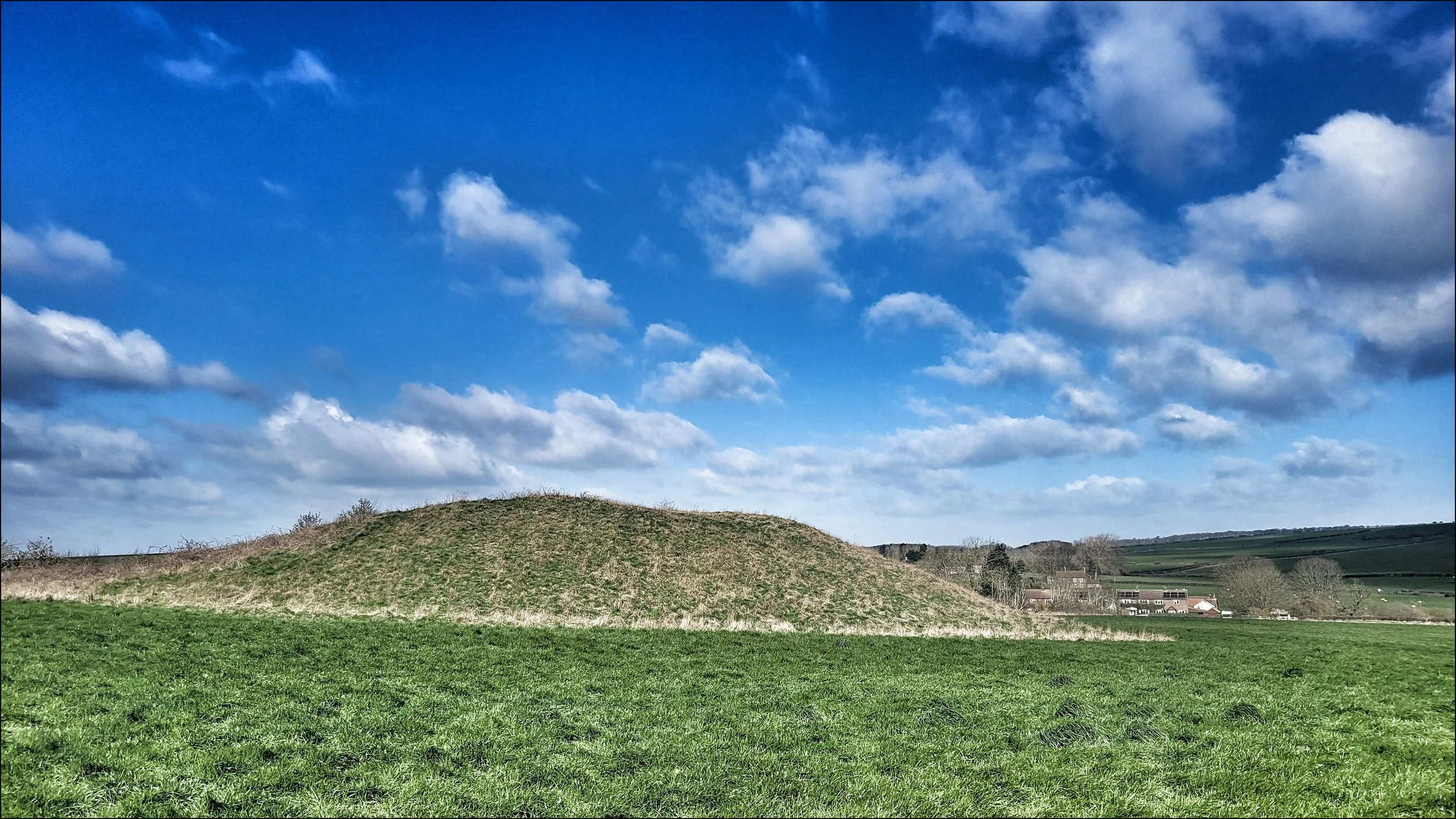
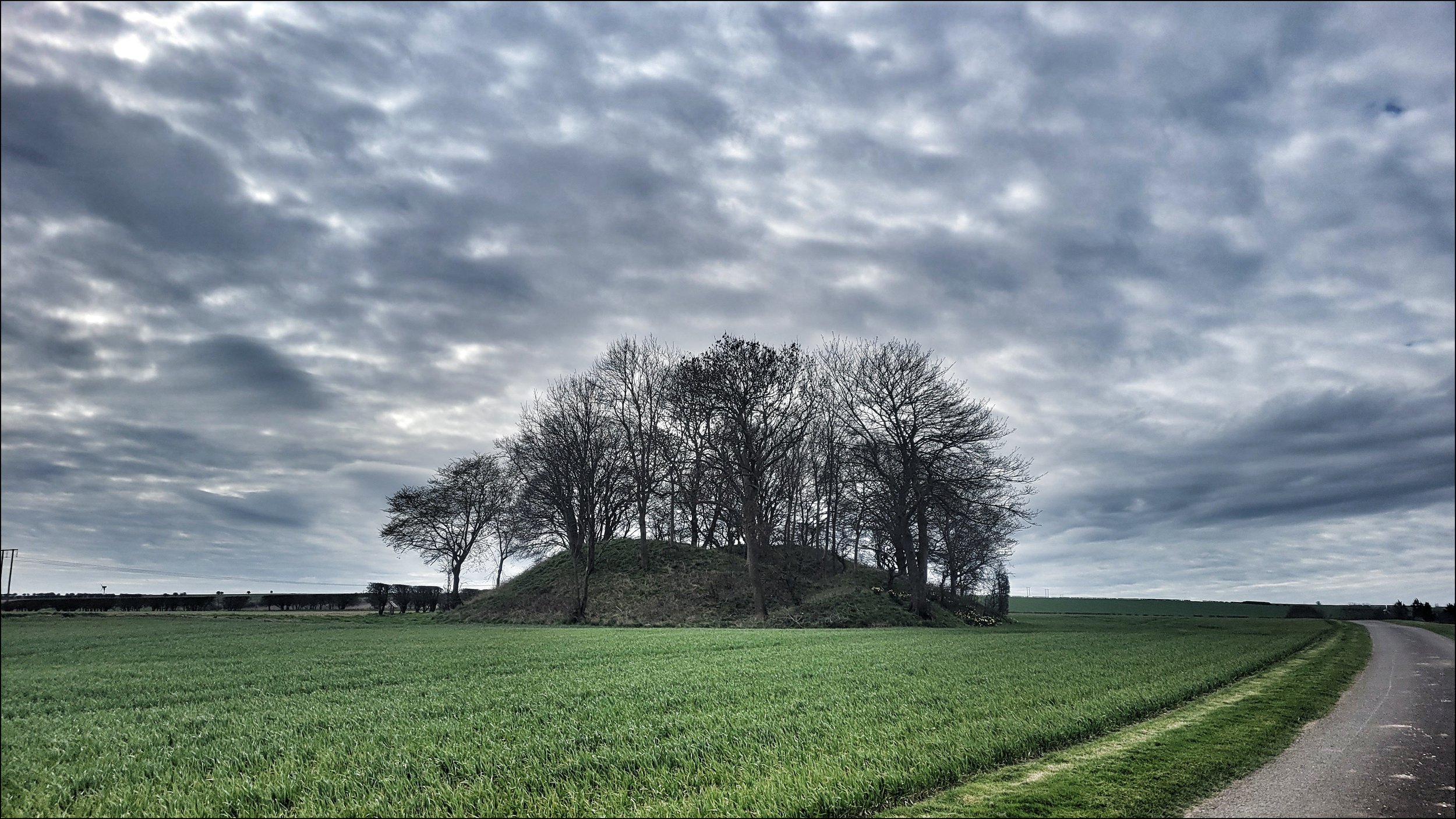
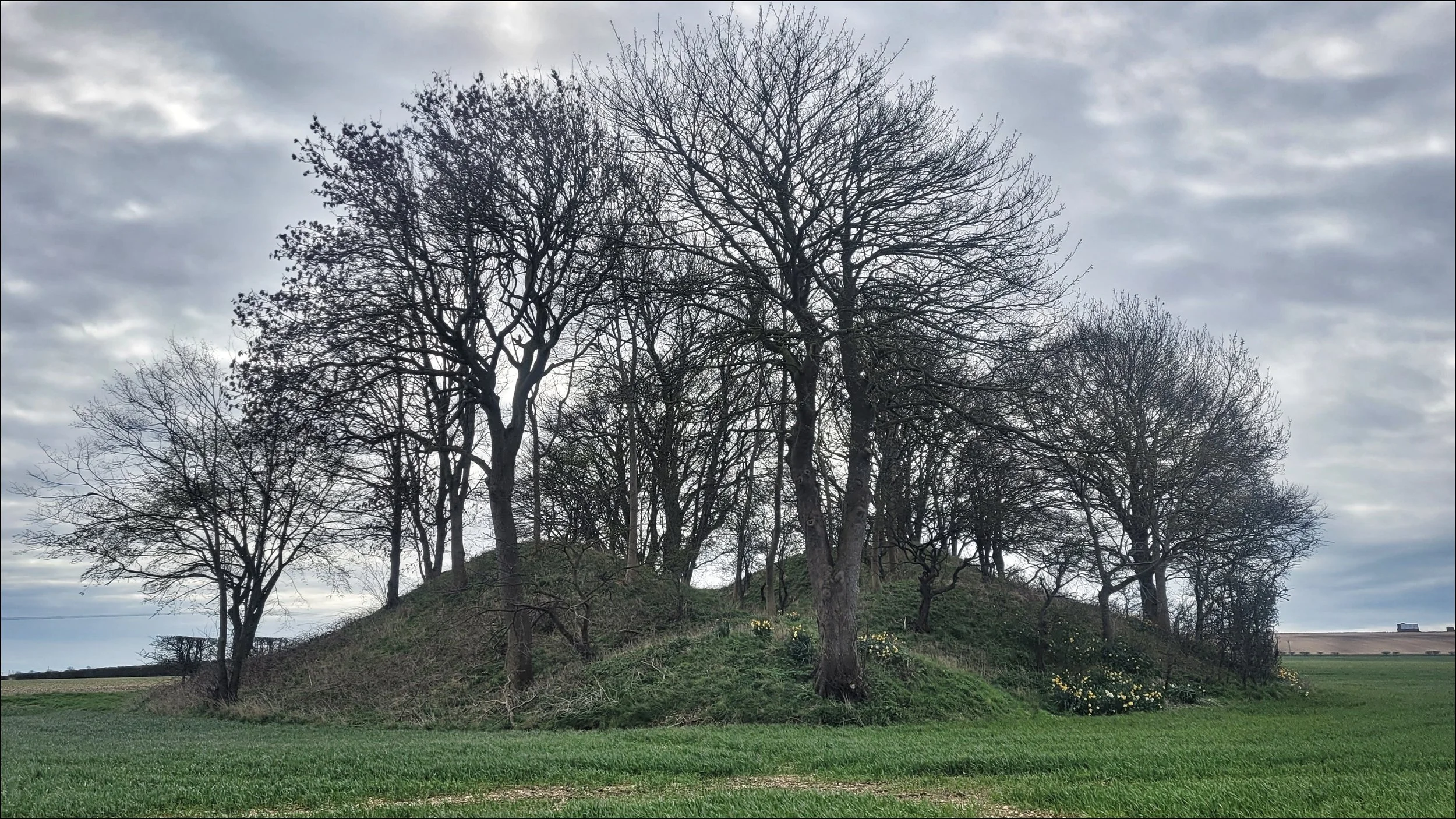
The true source of the stream actually starts in a copse of dense trees just south of the road from Warren Le Street to Duggleby, but I wanted to start my walk from the burial mound of Duggleby Howe, three hundred yards south of Duggleby. The archeologist John Mortimer had excavated the mound in 1890 and found skeletal and pottery remains deep down in the chalk centre below it. From the top of the six metre high mound the shallow valley could be seen disappearing off to the east. In the green fields around, long grass rippled from a westerly wind and just beyond I could see the glint of the stream heading in the same direction.
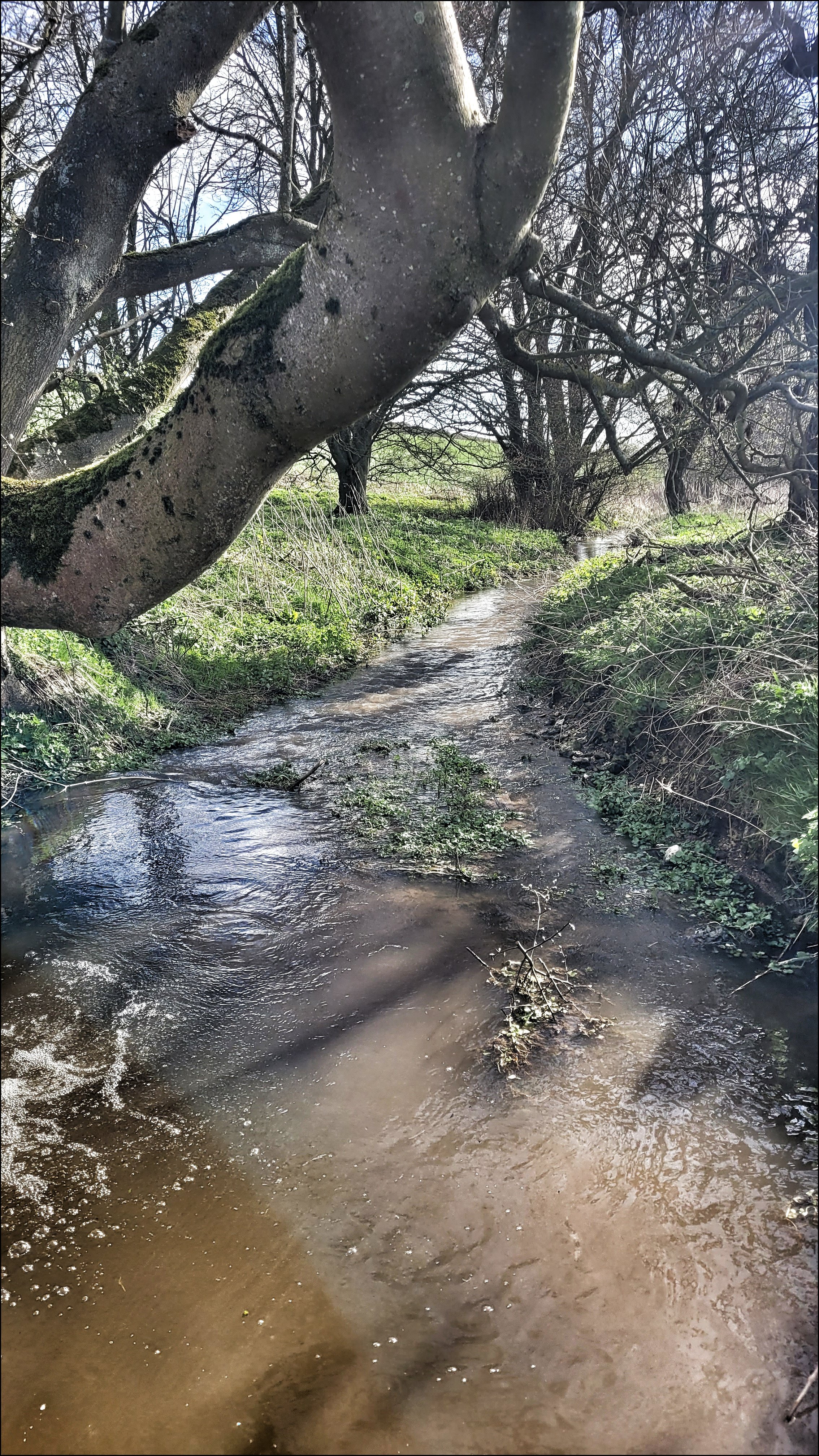
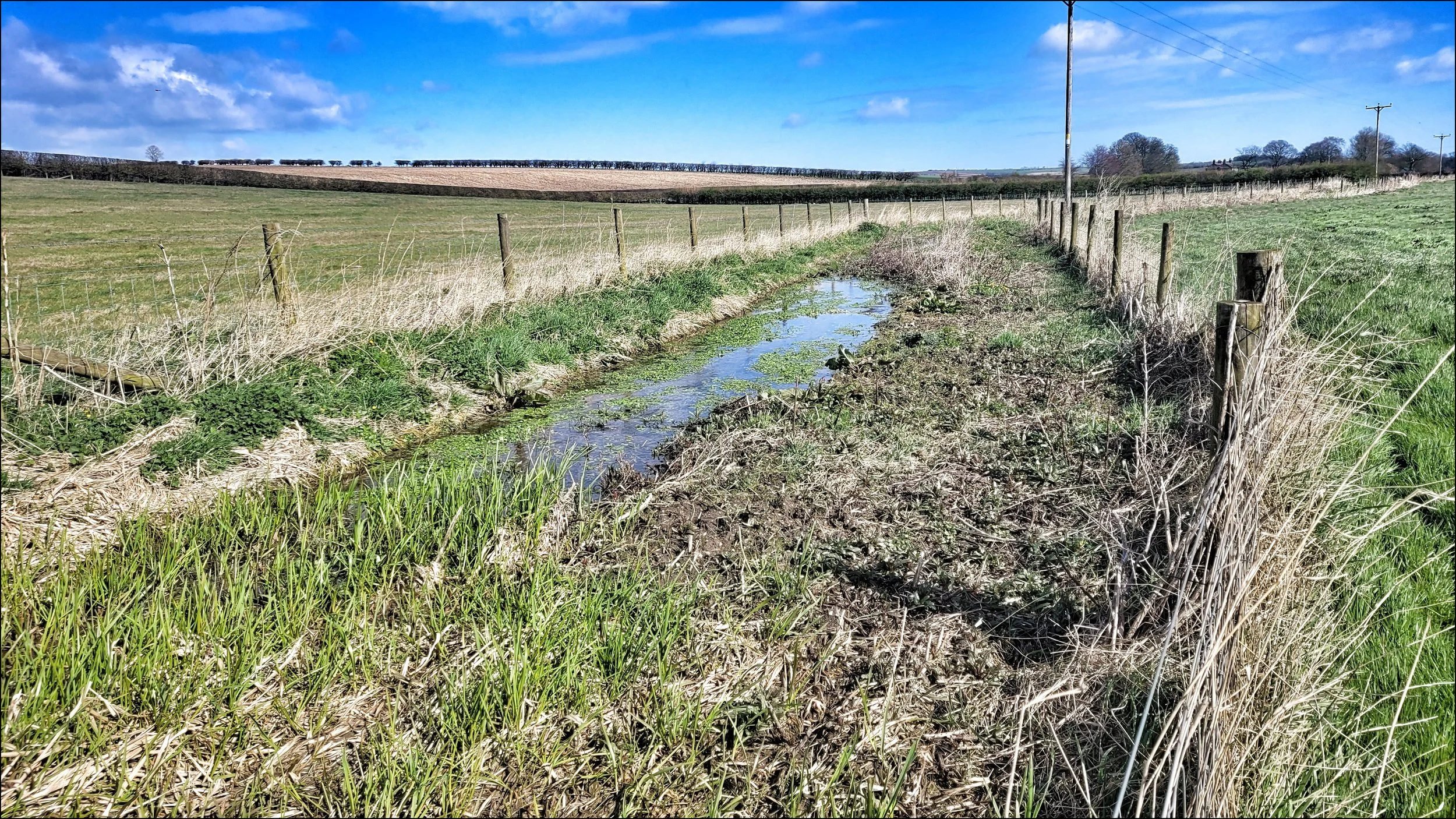
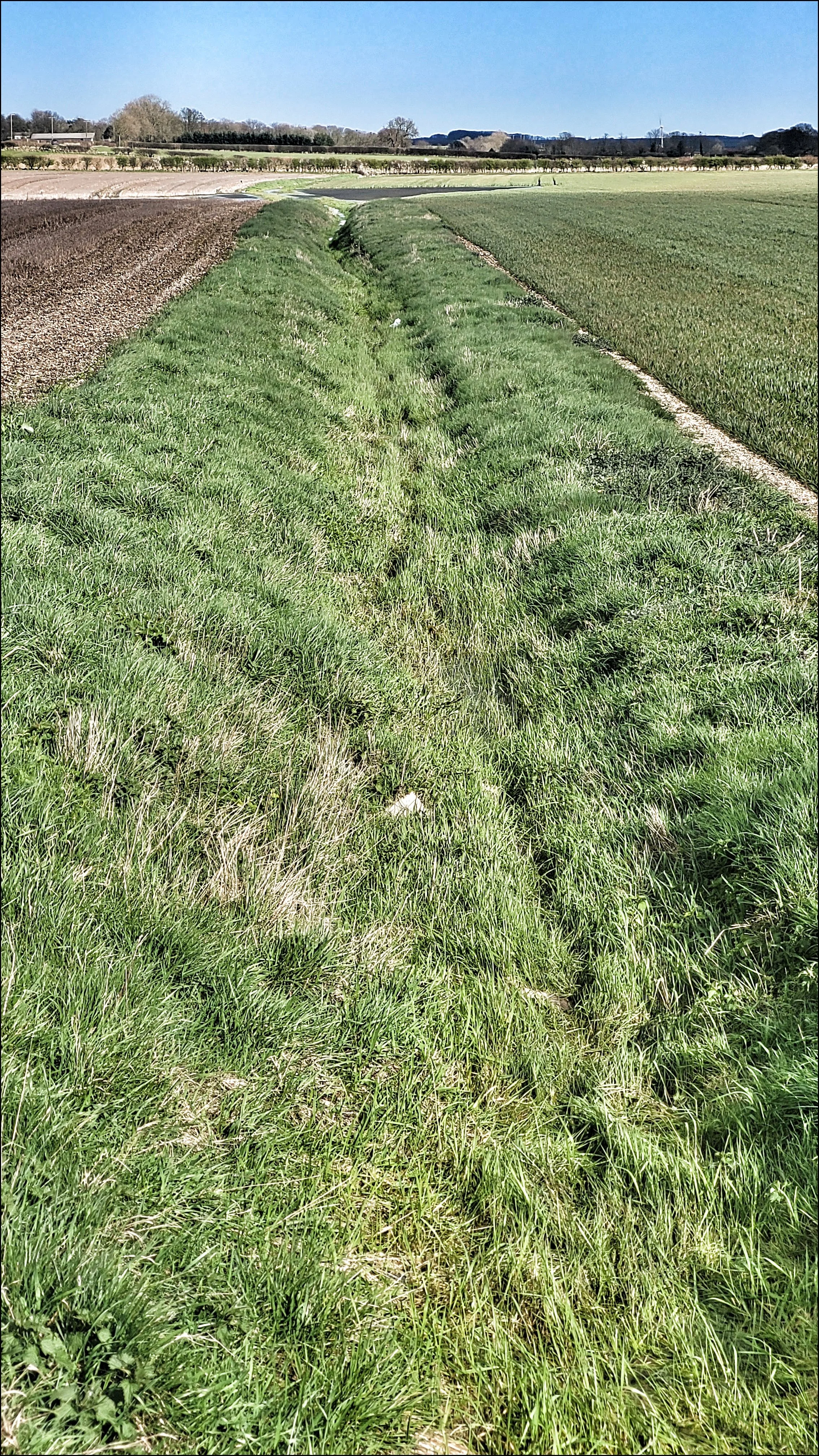
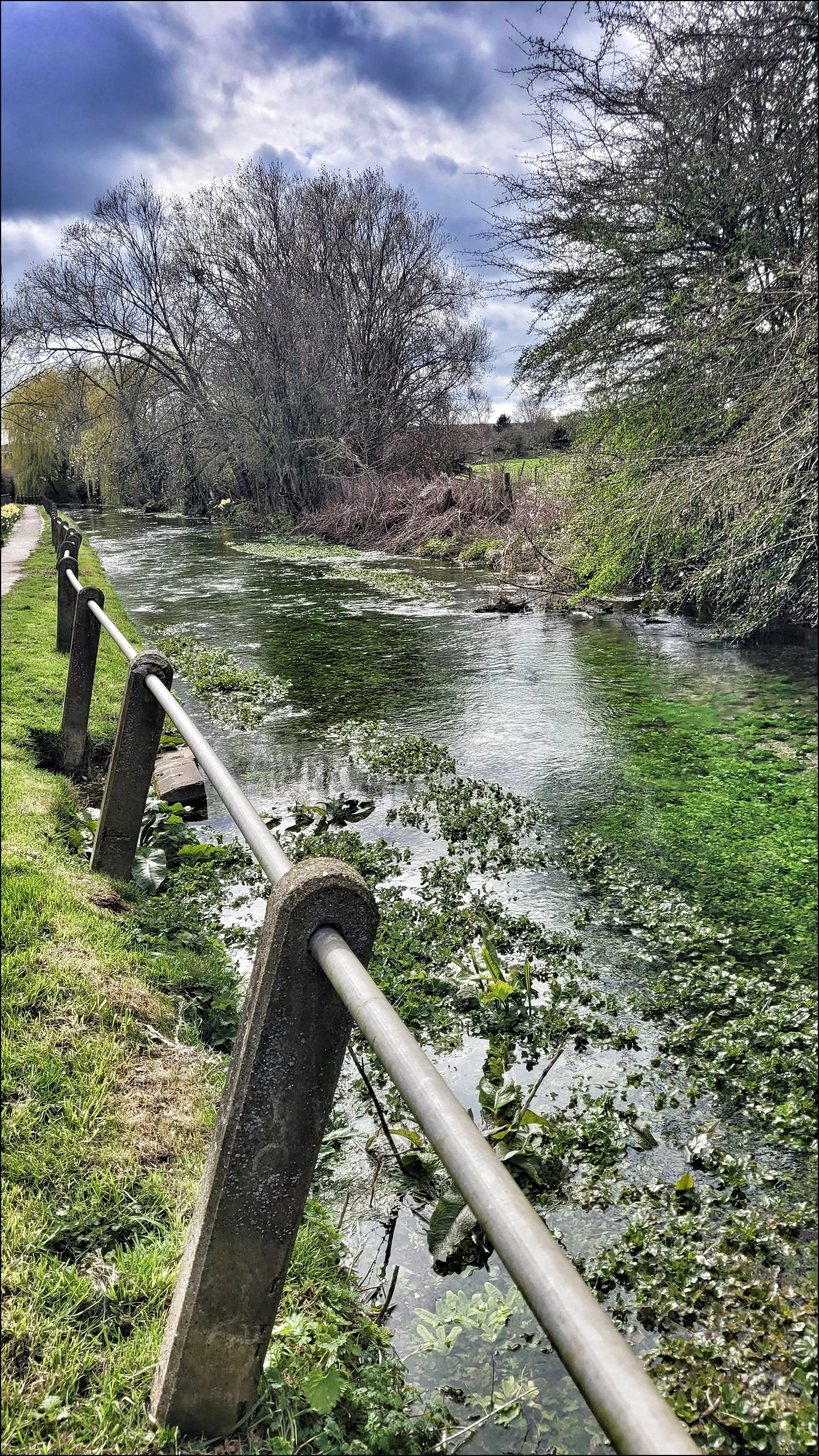
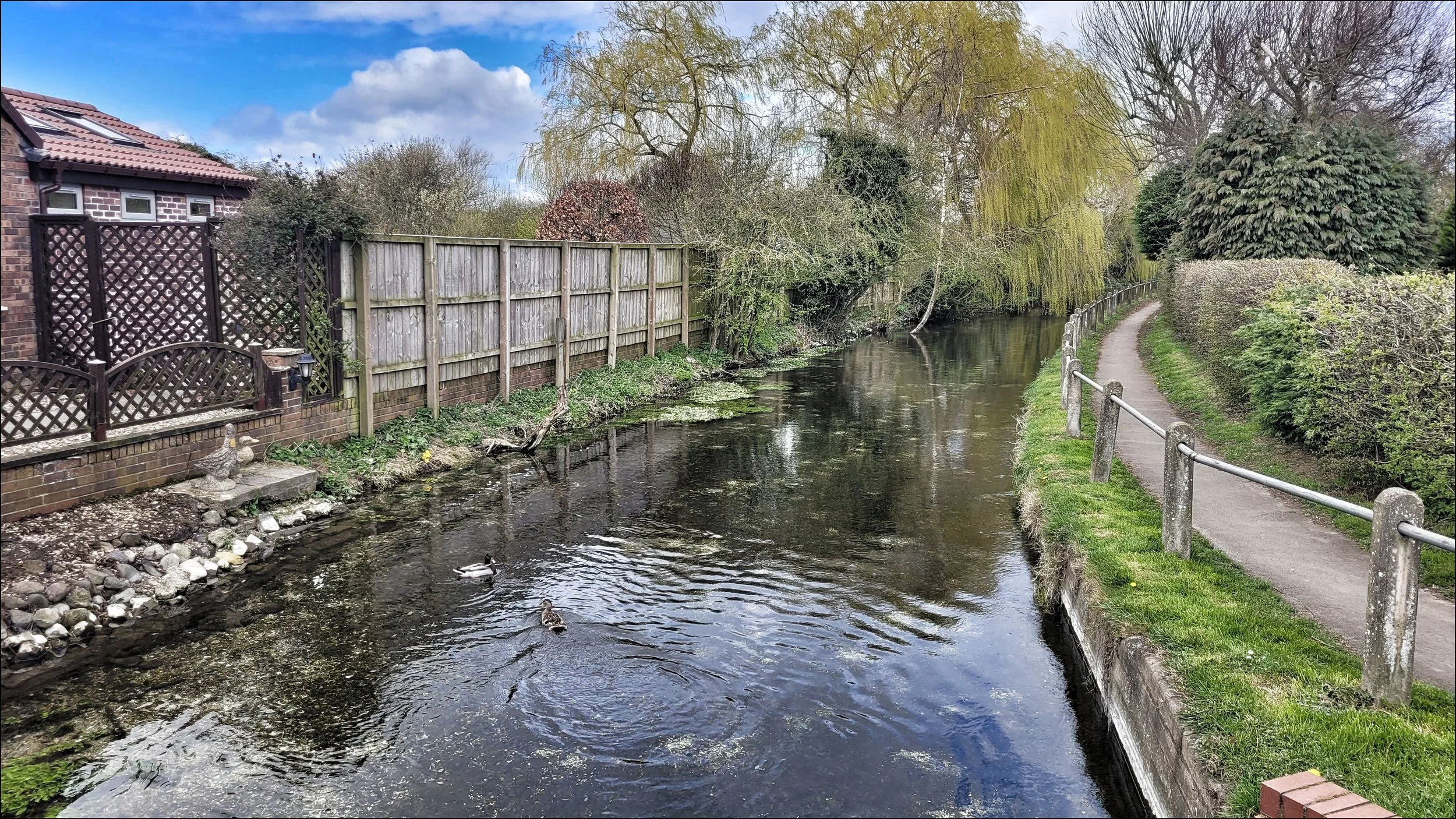
I joined the Gypsey Race as it left the village, winding it’s way through a wide sloping field. I could clearly see chalk deposits fringing the calm gentle flow of it’s early course. Ducks had gathered on it’s banks and as the lane took me to a bridge further on I could see the pure clarity of the water. The road carried on along the north side with the valley widening and the stream meandering away down through quiet pastures. I began to eliminate from my mind the telegraph poles, hedgerows and trees, to imagine this glistening stream in Neolithic times. For thousands of years It had been both the giver of life and the subject of ritual. At the quaint village of Kirby Grindalythe I was able to join it as it skirted the front of cottages and emerged out into open grassland again. I stopped a few times to listen to the gentle babble and to take in the clarity of the water flowing over the chalk bed. The path took me up the hill and around a farm and as the stream continued on it straightened out to follow the field boundary all the way to West Lutton. I dropped down to it at the point it seemed to be swallowed by houses but the stream had dried up leaving only a shallow ditch of long dried grass. The ditch squeezed in between two houses and then appeared to be better managed through the rest of the village as it passed by house frontages and St Mary’s church wall. From this point the Gypsey Race’s course had appeared to have been altered to fit beside the road as no more than a ditch which remained dry through the villages of East Lutton, Helperthorpe, Weaverthorpe and Butterwick. This was no surprise as knowing the Gypsey Race to be a winterbourne stream I knew it would reappear at some point ahead.
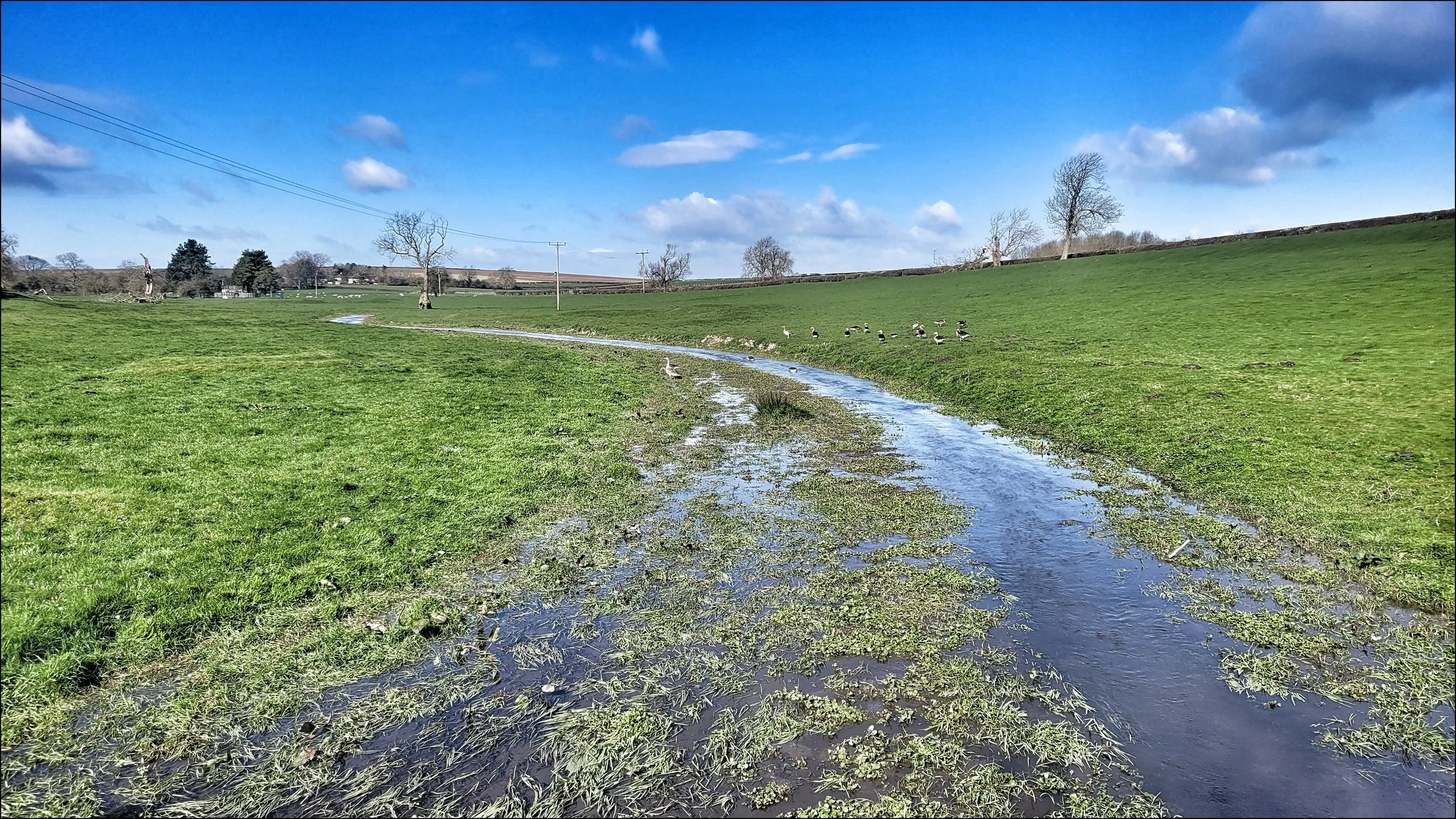
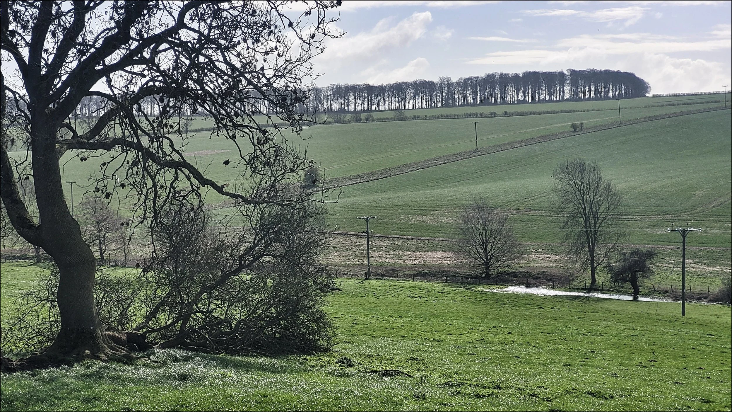
As I passed close by the village of Foxholes I saw that the ditch moved away from the road and doglegged south a few times. Then looking south from the road to the middle of a field I could see a spread of water and the faint trace of a ripple on it’s surface. Up ahead was the village of Wold Newton where I had booked a room on a farm for the night. I passed a series of ponds at the centre of the village and found that the stream had resurfaced and was flowing into one of them. The owner of my B&B owned the land the Gypsey Race passed through and told me of the unpredictable nature of the seasonal flooding caused by the stream. This had given him and his father problems for the planting of crops over the years. The general rule was that the stream was in full flow in late spring and then dried out during the summer months until late autumn.
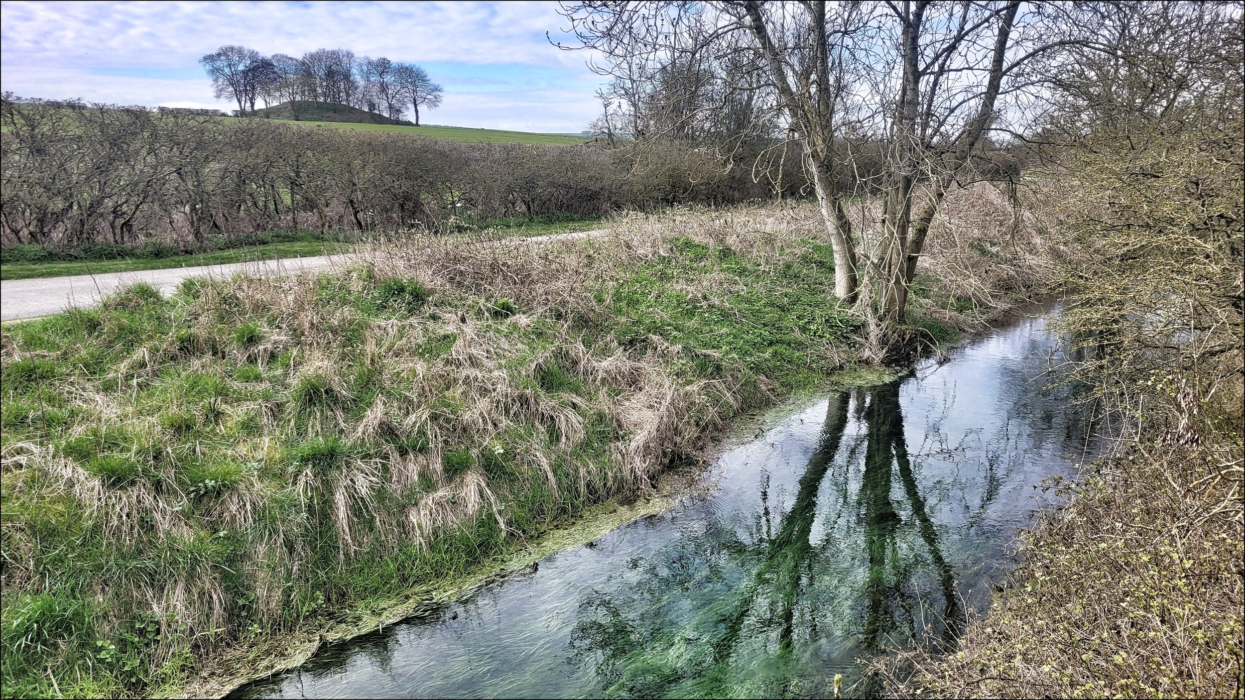
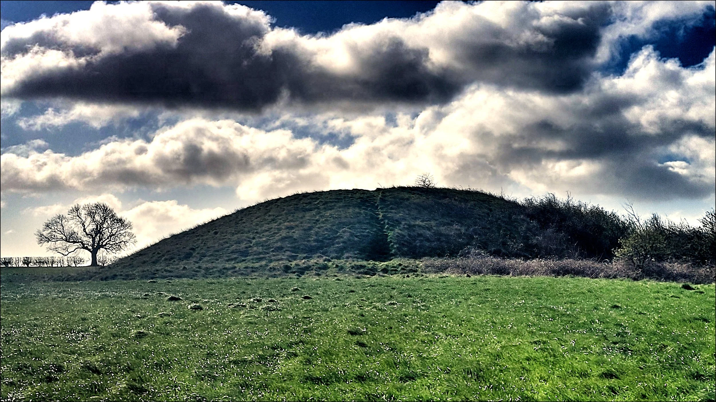
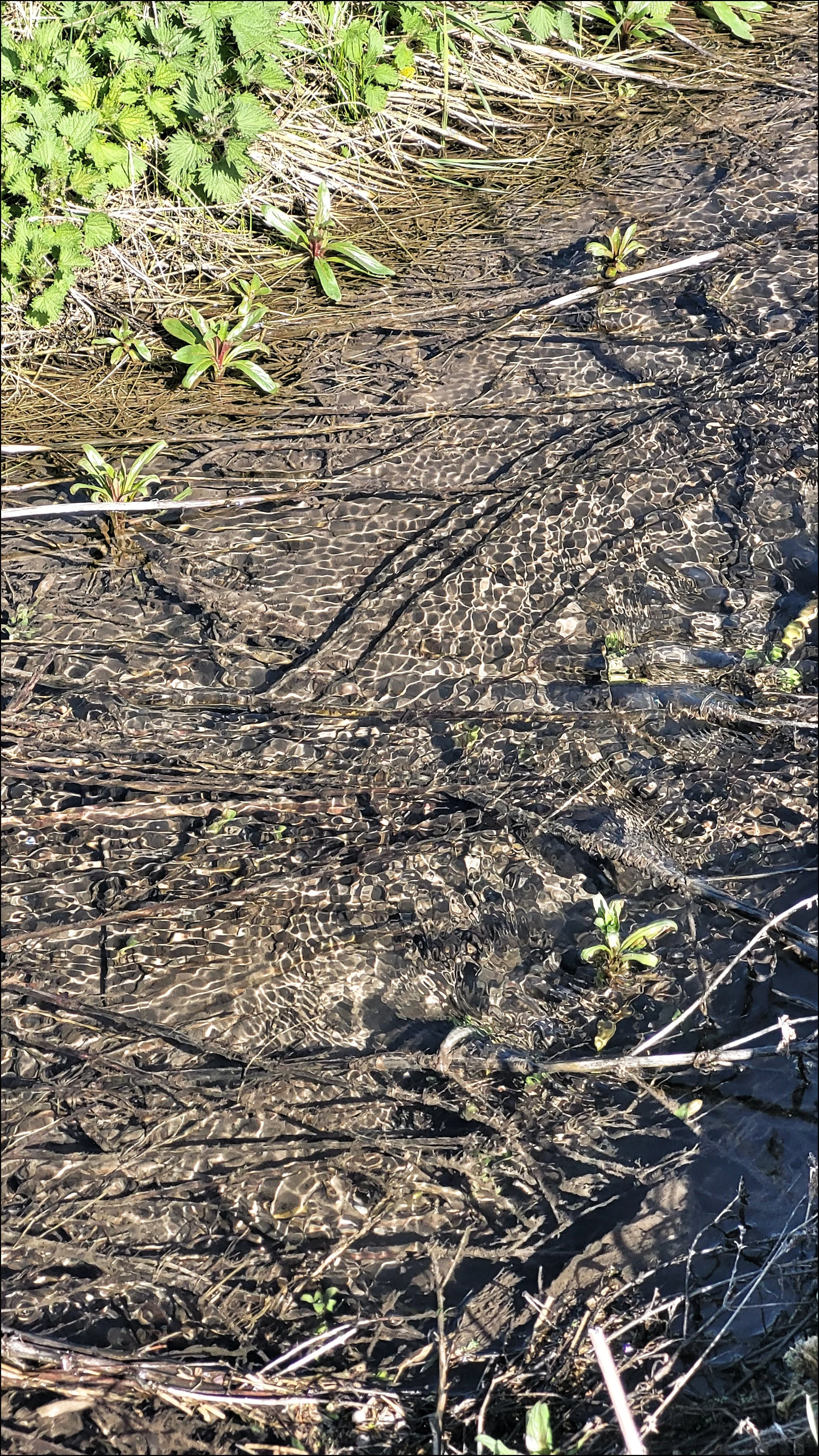
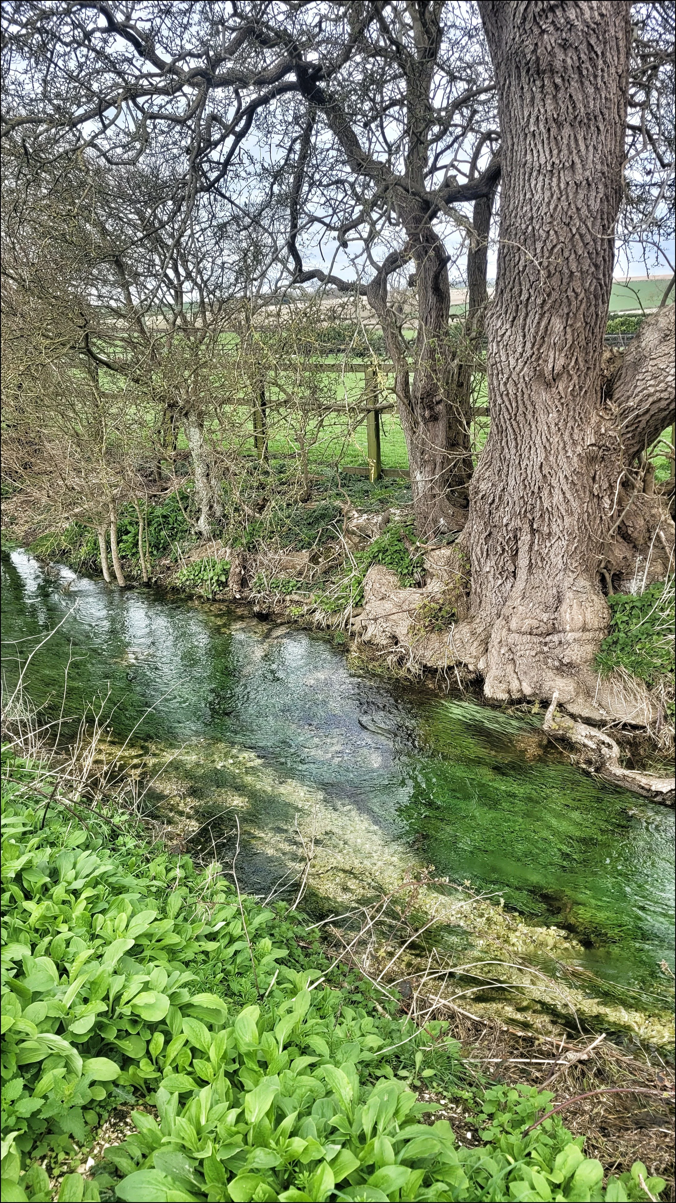
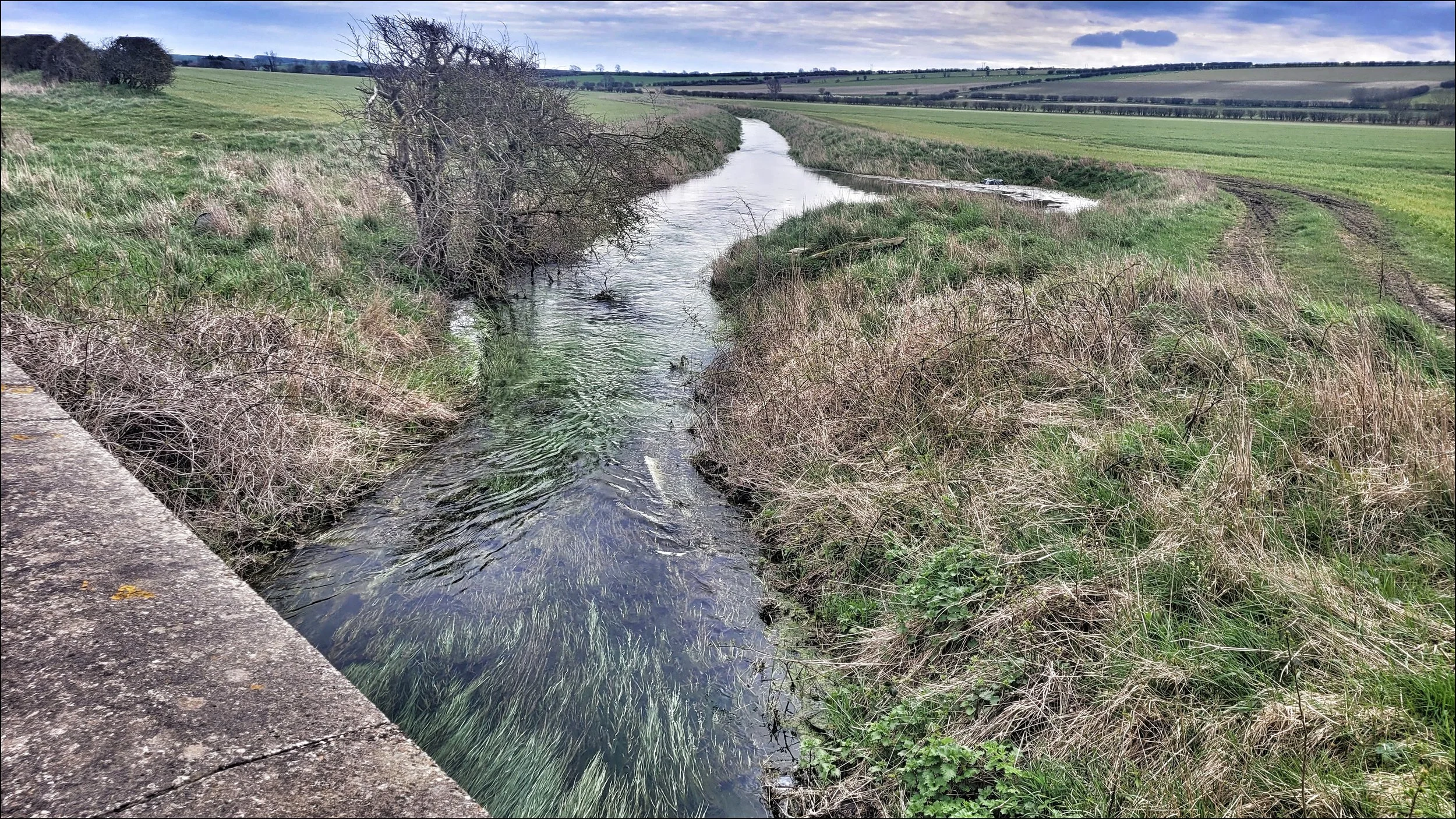
The next morning I felt invigorated by the Gypsey Race’s reappearance and it was here in Wold Newton I sensed the full majesty and mystery of this ancient watercourse. Only a stone’s throw from it’s southern bank was another burial mound known as Ba’l Hill. Despite it’s symmetry it had been badly damaged by ploughing in the nineteenth century before being restored in 1894. The closest I could get to it was from the bridge over the stream with it’s new found energy. I looked down and became mesmerized by the waves of long snaking grass beneath the surface.
A mile or so on keeping parallel with the stream, the distinctive profile of Willy Howe came into view. The road crossed the stream here and I took the opportunity to fill my filter bottle and sample the mineral rich water. It had travelled over twelve miles by now but the stream still tasted good. I walked up the hill to Willy Howe, as large as Duggleby but now covered with mature trees. Excavations in the nineteenth century had caused the centre of the bowl barrow to collapse. No human remains had been found here and stories of the mound being inhabited by fairies have added to it’s mystery. I had been here before and felt an imposing and sinister presence and to my surprise I felt it once more.
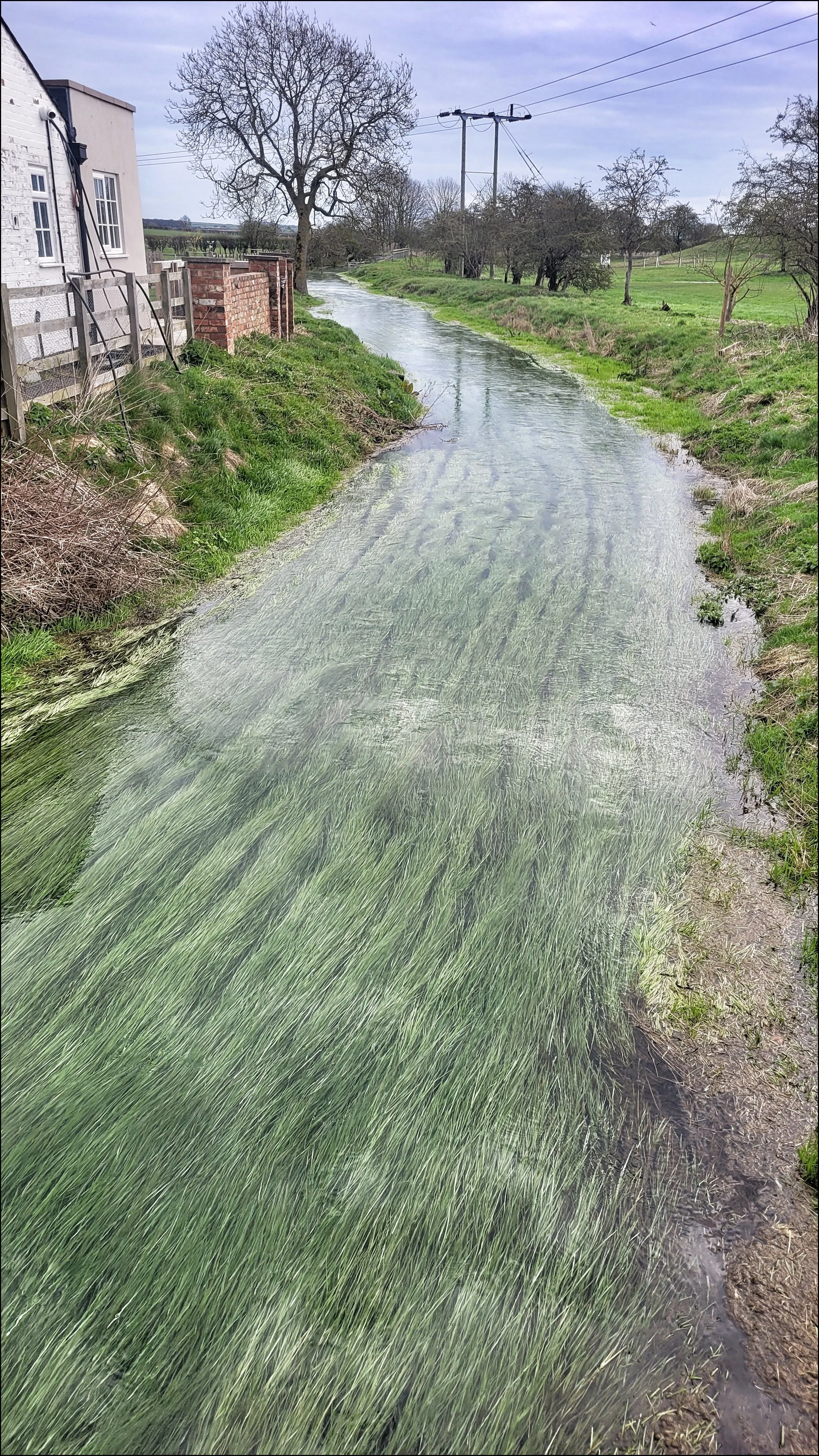
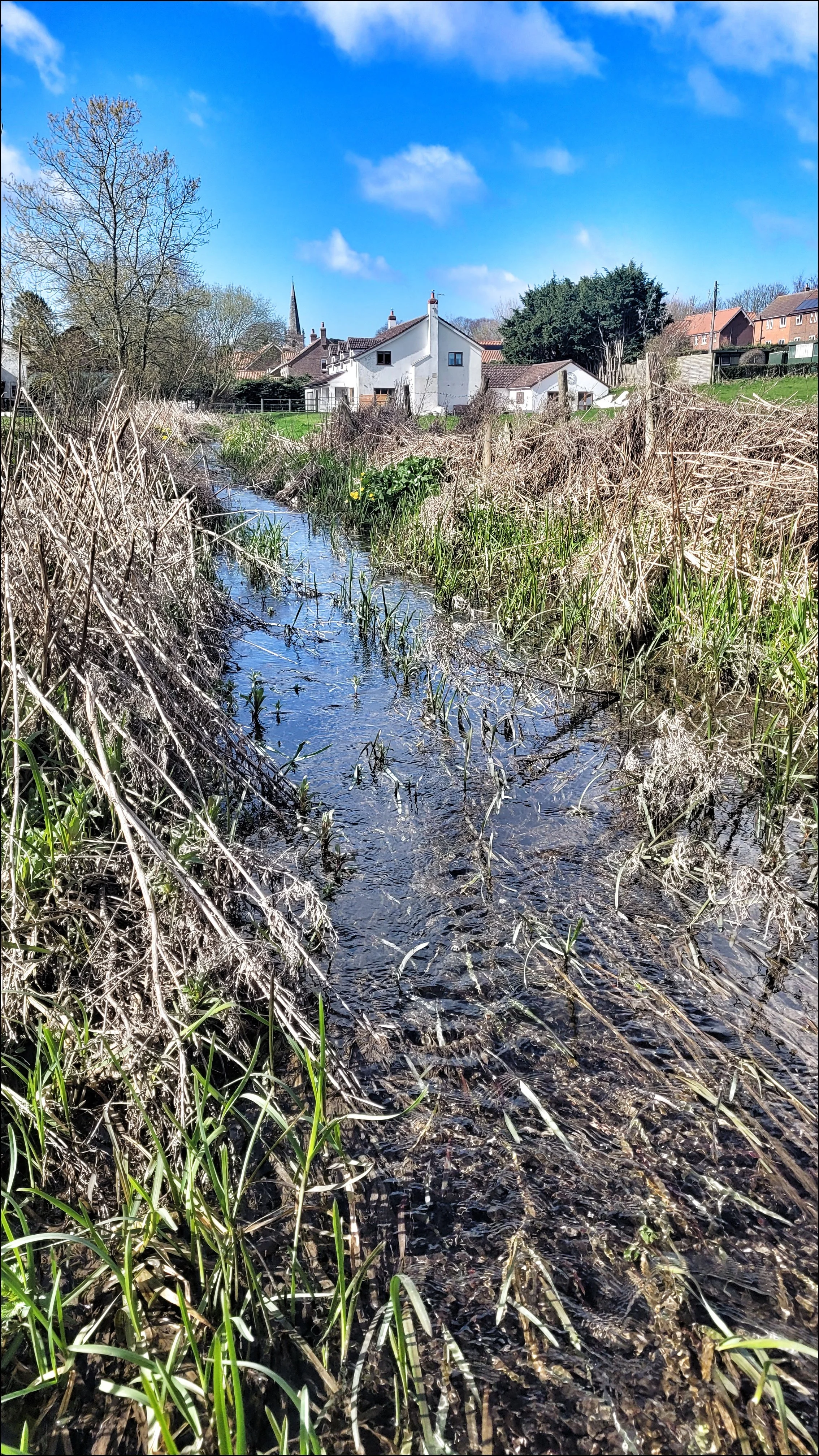
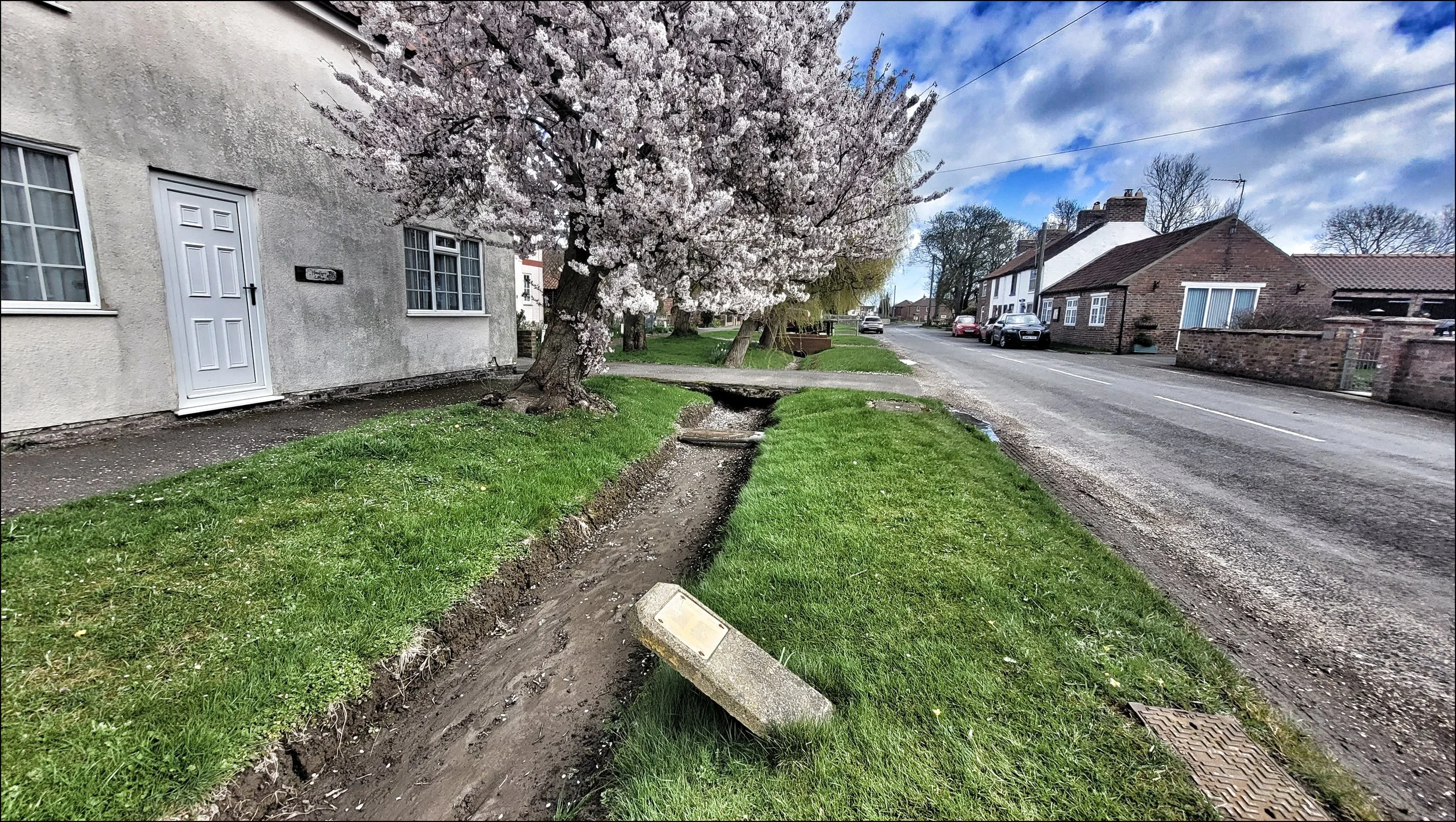
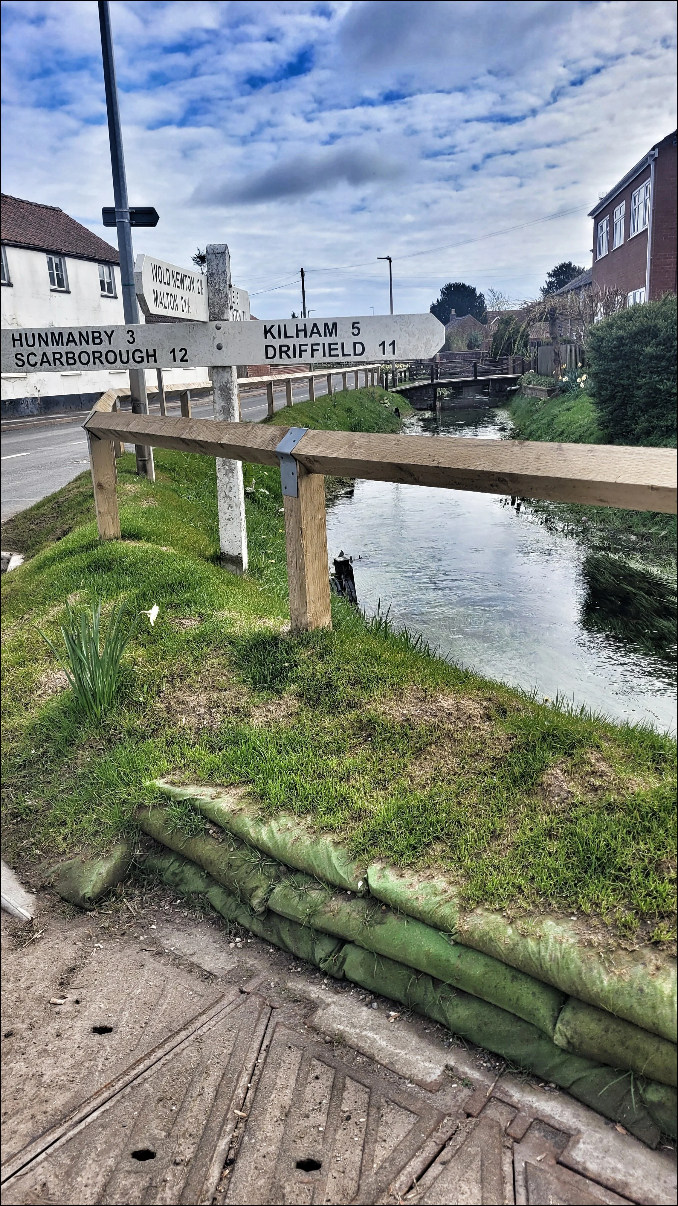
I continued on to Burton Flemming. The stream widened more and crossed under the road flowing south through open fields. I rejoined it in the village centre where it once again flowed along the front of cottages lining the main street. On the other side of the village it unexpectedly arcs south and remains on this course all the way down to Rudston. As it begins to converge with the road again there lies to the east of the stream Argham Henge, now ruined by ploughing and only visible from the air as a cropmark. Walking can induce the mind to wander and so I began to form a fanciful idea that all the neolithic settlements in the area were sited north of the stream and the dead were interred on the south side where all the burial mounds were positioned. If it is believed the Gypsey Race held mystical and ritualistic values, then this seems a quite plausible idea.
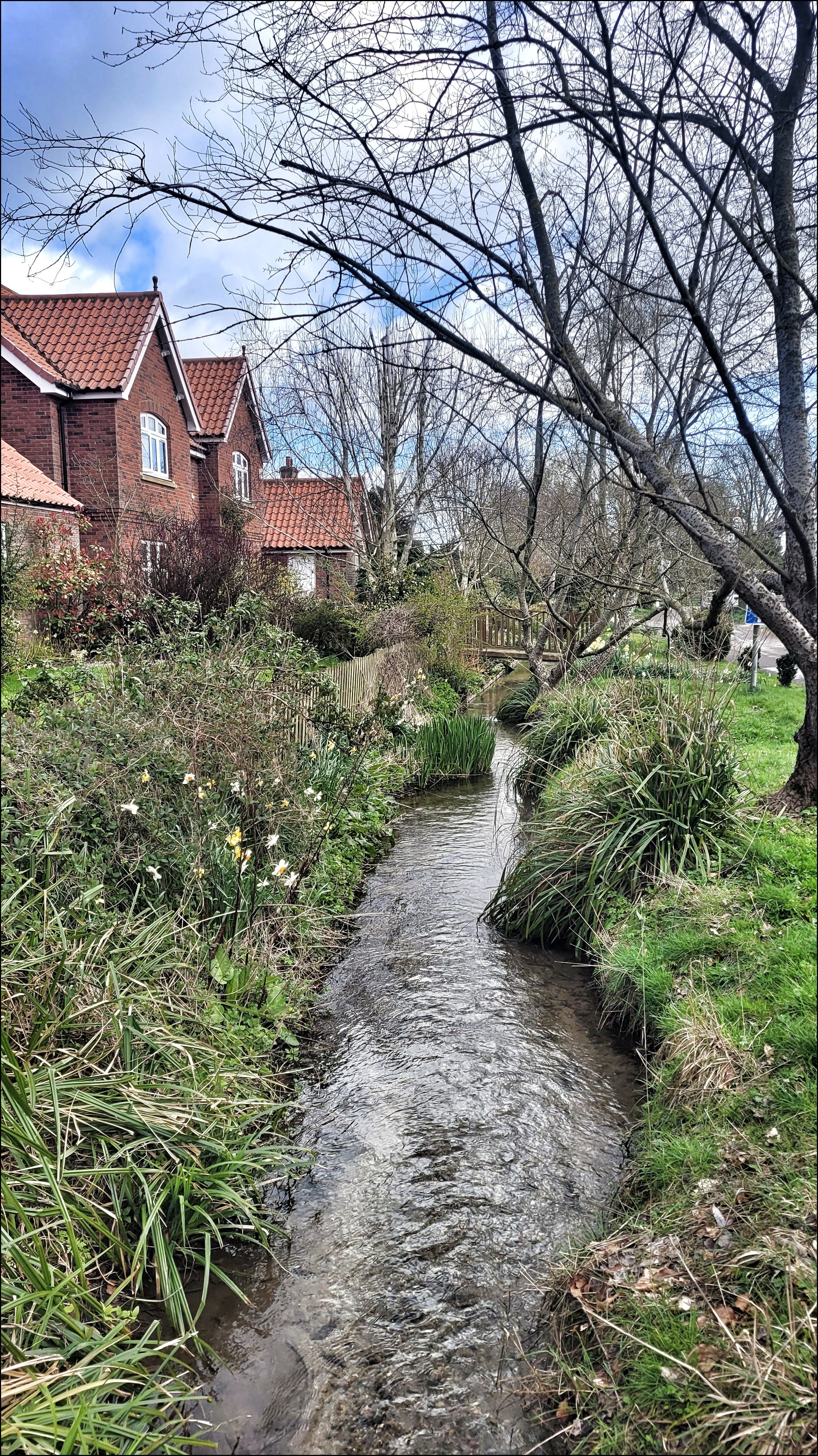
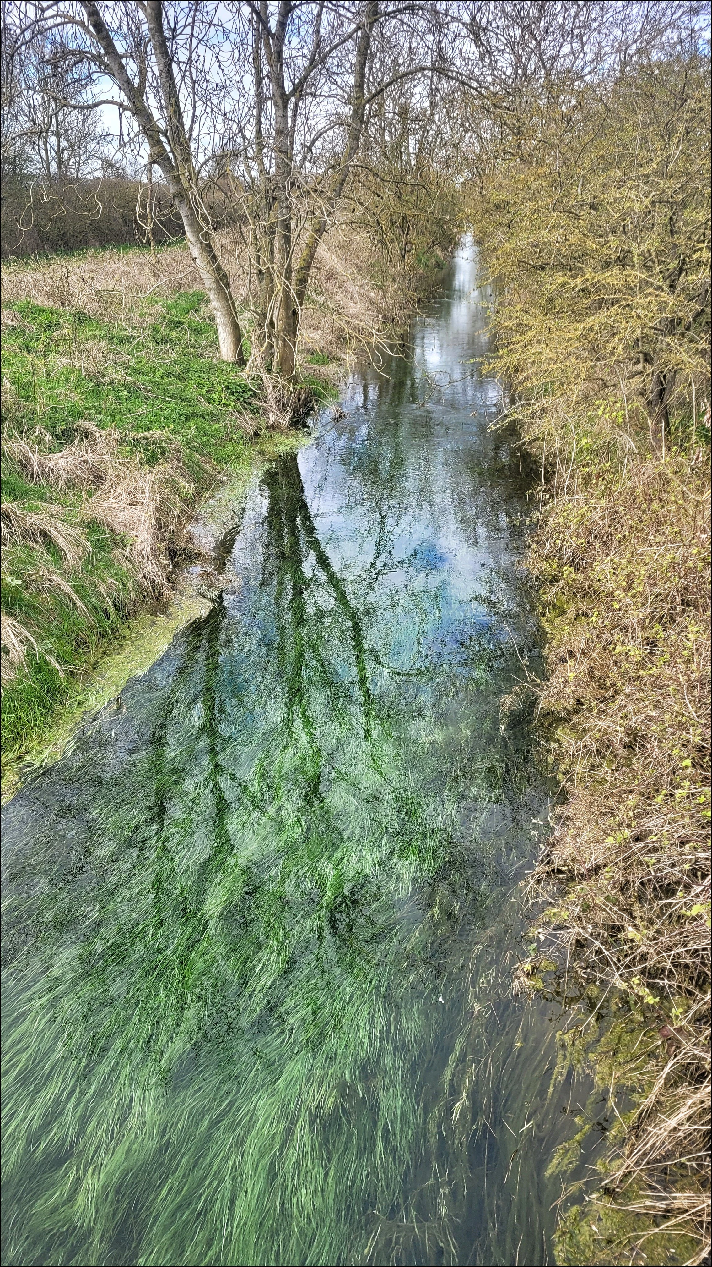
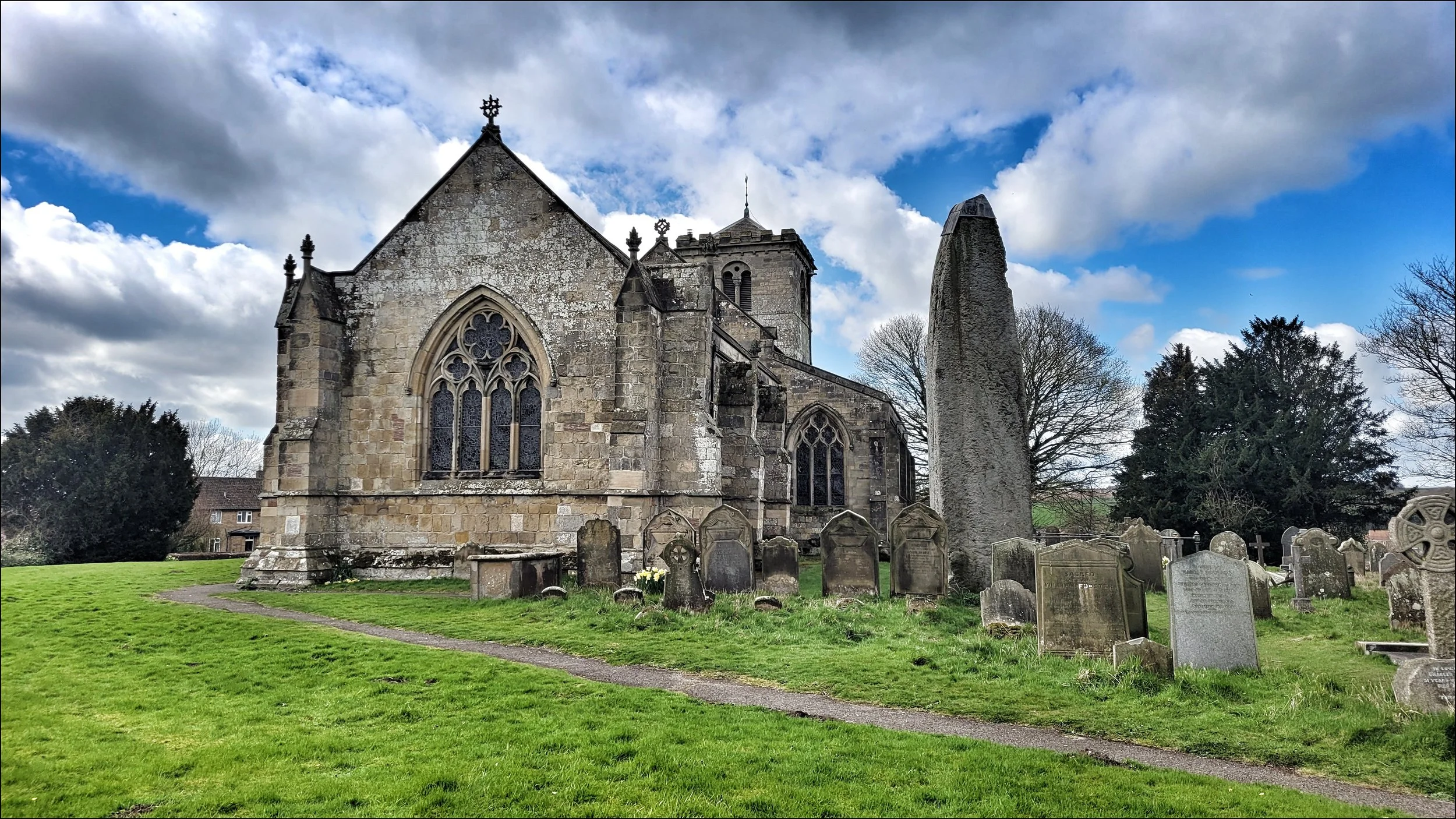
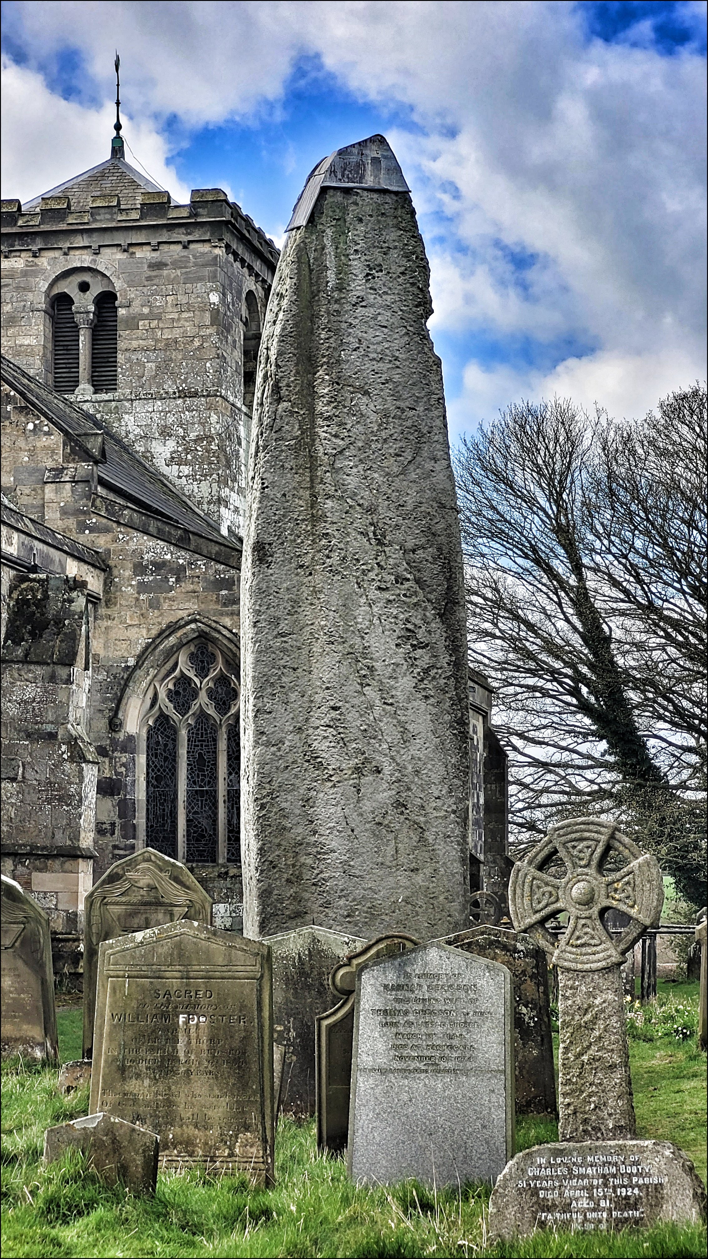
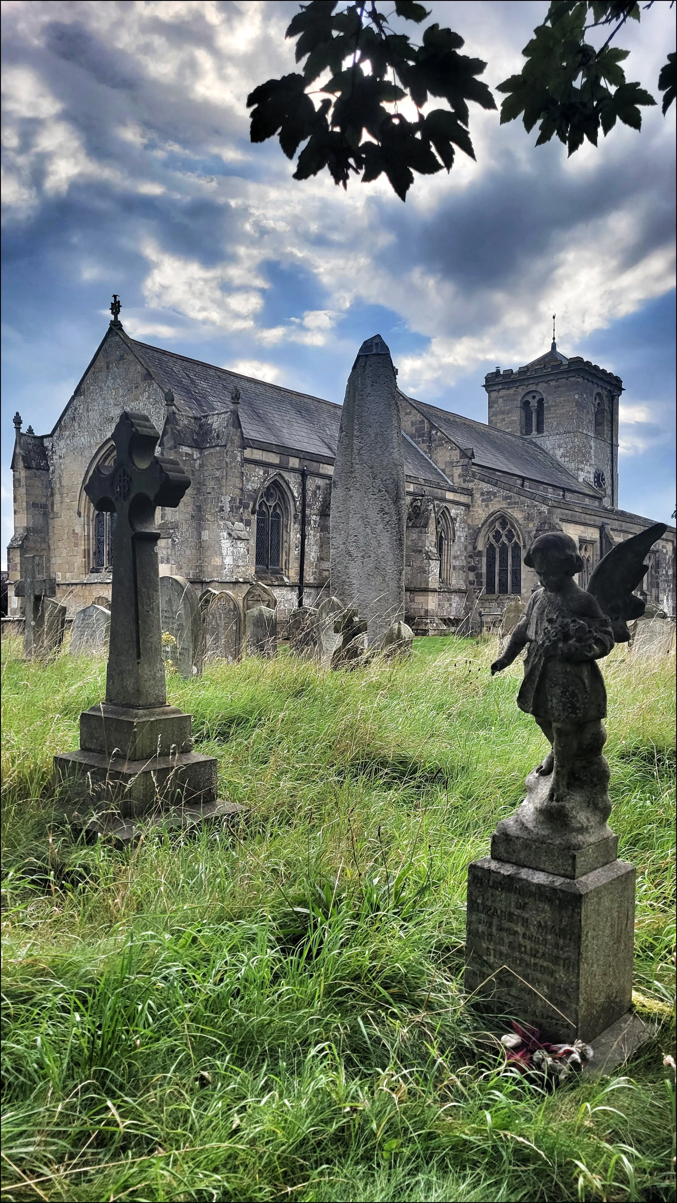
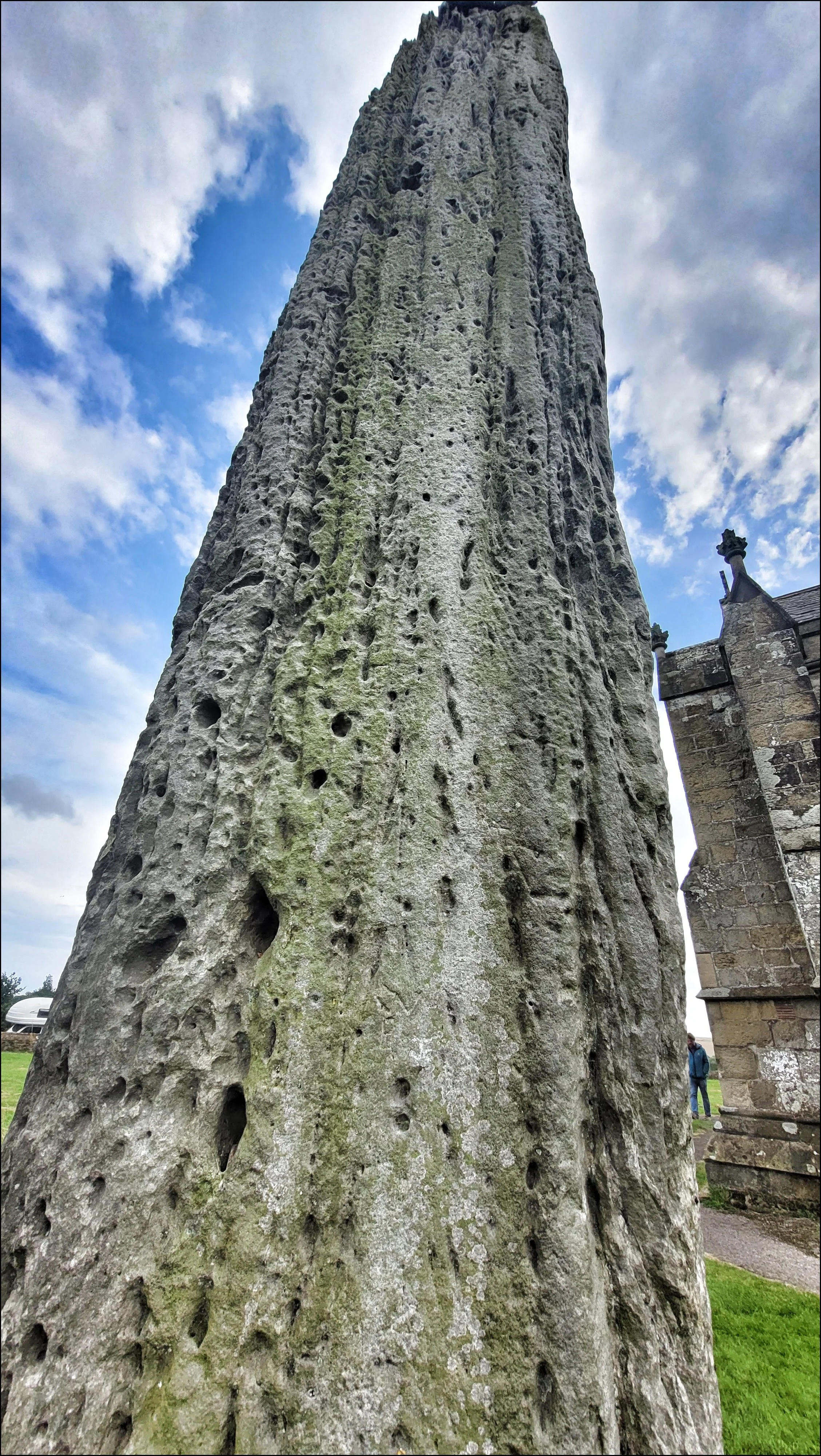
The stream adjoined the road again just before Rudston and now looked to be gathering strength. The church of All Saints came into view on the left high up on the hill, but the giant monolith in the churchyard was masked by trees. I followed the stream which now looked more like a river down the west side of the village to where fringed by willow trees, it arcs sharply to the east again. I knew that not far to the south lay the Rudston Beacon, yet another Barrow but barely discernible from the village, and around and about were the long since visible four long cursus monuments now ploughed out. They all at the time of their construction, ended or begun at Rudston. I walked up to the church to pay my fourth visit to the twenty six foot high standing stone, the tallest in England. I sat in the graveyard for a bite to eat and marveled at the scale of this single slab of gritstone. It had been brought here from the coast and weighing in at forty tons, this was no mean feat. Again I dispensed with the church, houses and trees in my head and realised the monument would have been a visible beacon for many miles around. Along with the dramatic turn the Gypsey Race takes close by, I could easy imagine this was an important focal point for ritual gatherings.
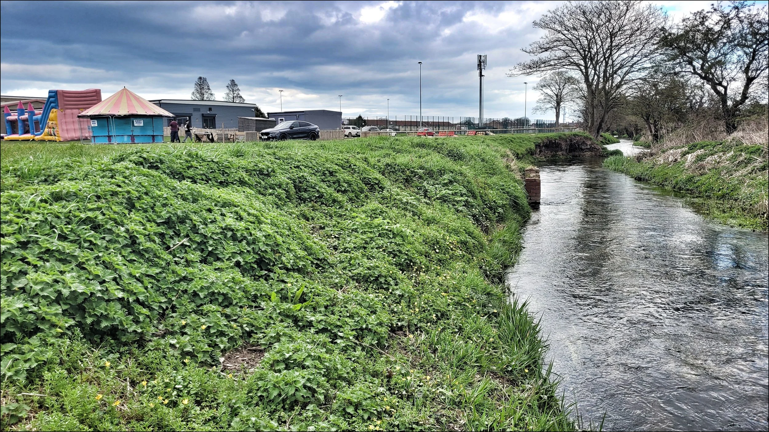
The road out of Rudston was not an easy one to take with the footpath disappearing and blind corners to negotiate. The stream had disappeared from view into the woodland estate of Thorpe Hall. There it runs into a series of lakes in the Carr Plantation where up on the slopes on the other side is the burial mound of South Side Mount. Crouched inhumations and Bronze Age pottery had been unearthed there by nineteenth century antiquarians. I passed the site of the medieval village of Low Caythorpe and a half mile beyond I took a footpath along the edge of the valley past West Lawn Wood. I was glad to get off the road and soon the traffic noise gave way to the sound of Skylarks. Somewhere on the other side of the valley another bowl barrow lay hidden in the trees. Sands Wood Mound had no record of archeology and is very likely to be intact. At Boynton church I was pleased to discover the footpath continued close by the stream, but soon after I lost sight of it again along the perimeter of a noisy recycling yard where I eventually emerged onto the busy road. The stream was making more peaceful progress as it emerged from the trees and into open farmland. Then as I came to the A165 ring road around Bridlington I looked south to see the stream was passing under it and continued along the side of a sports field.
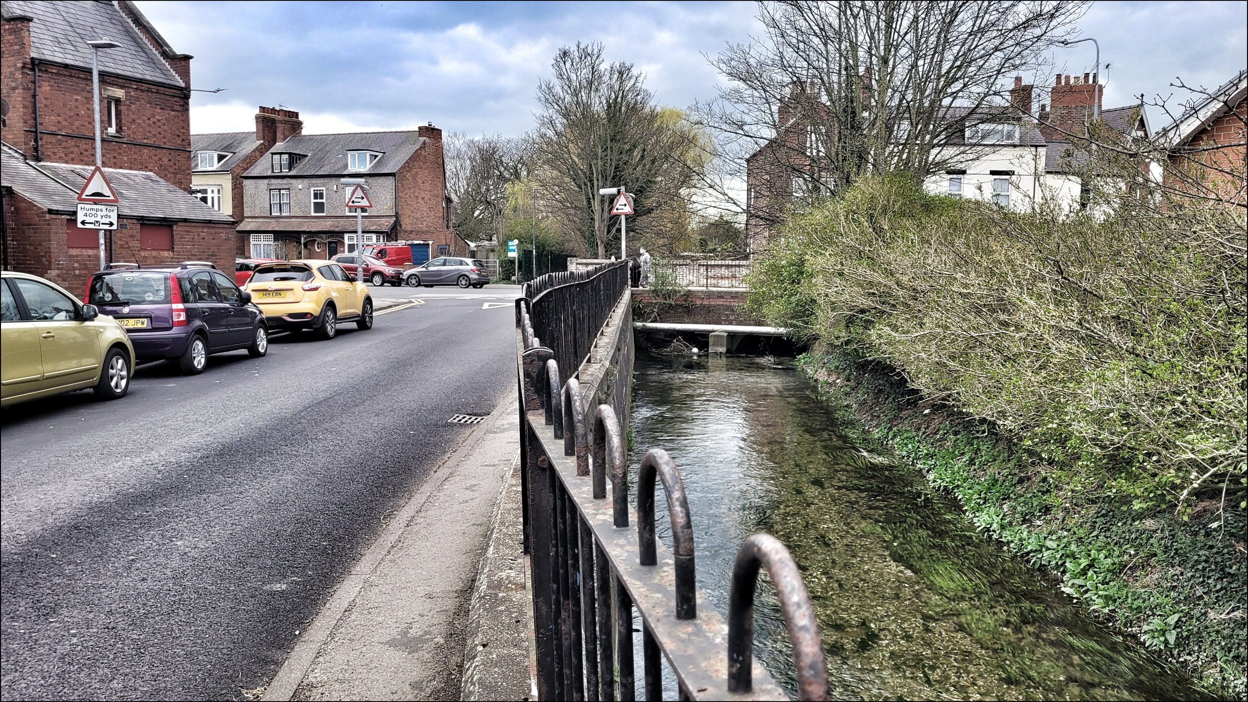
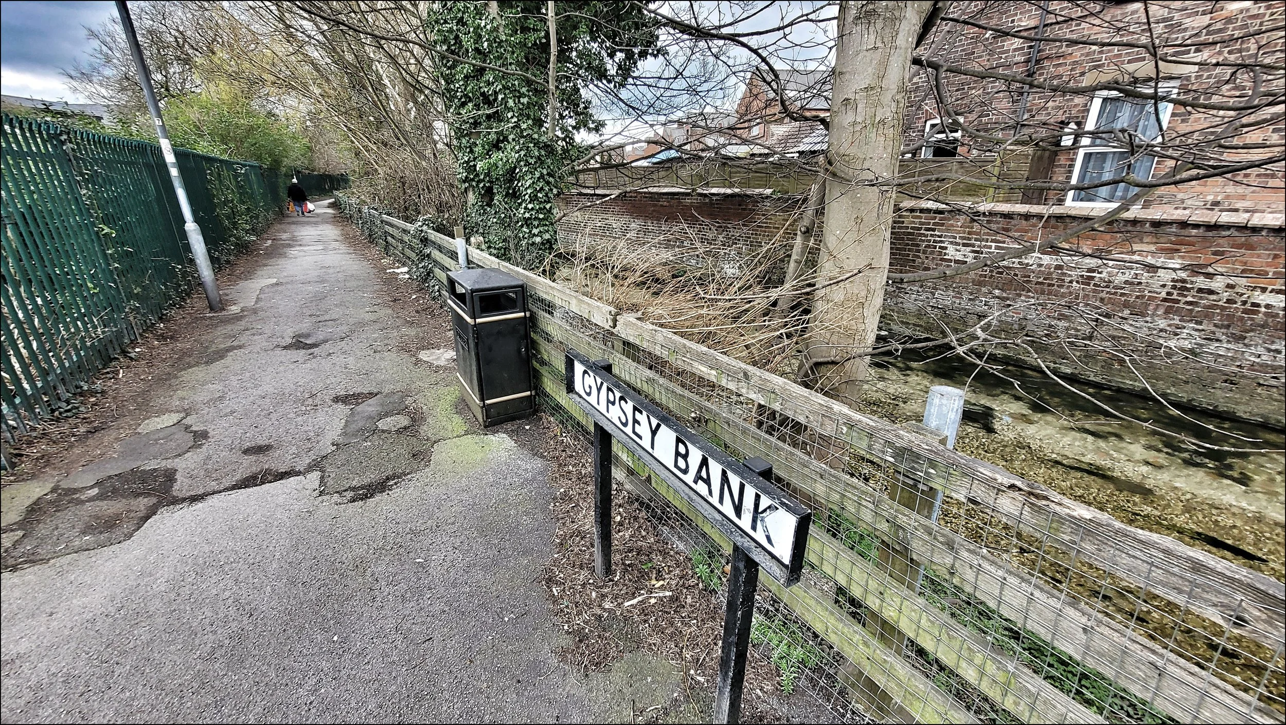
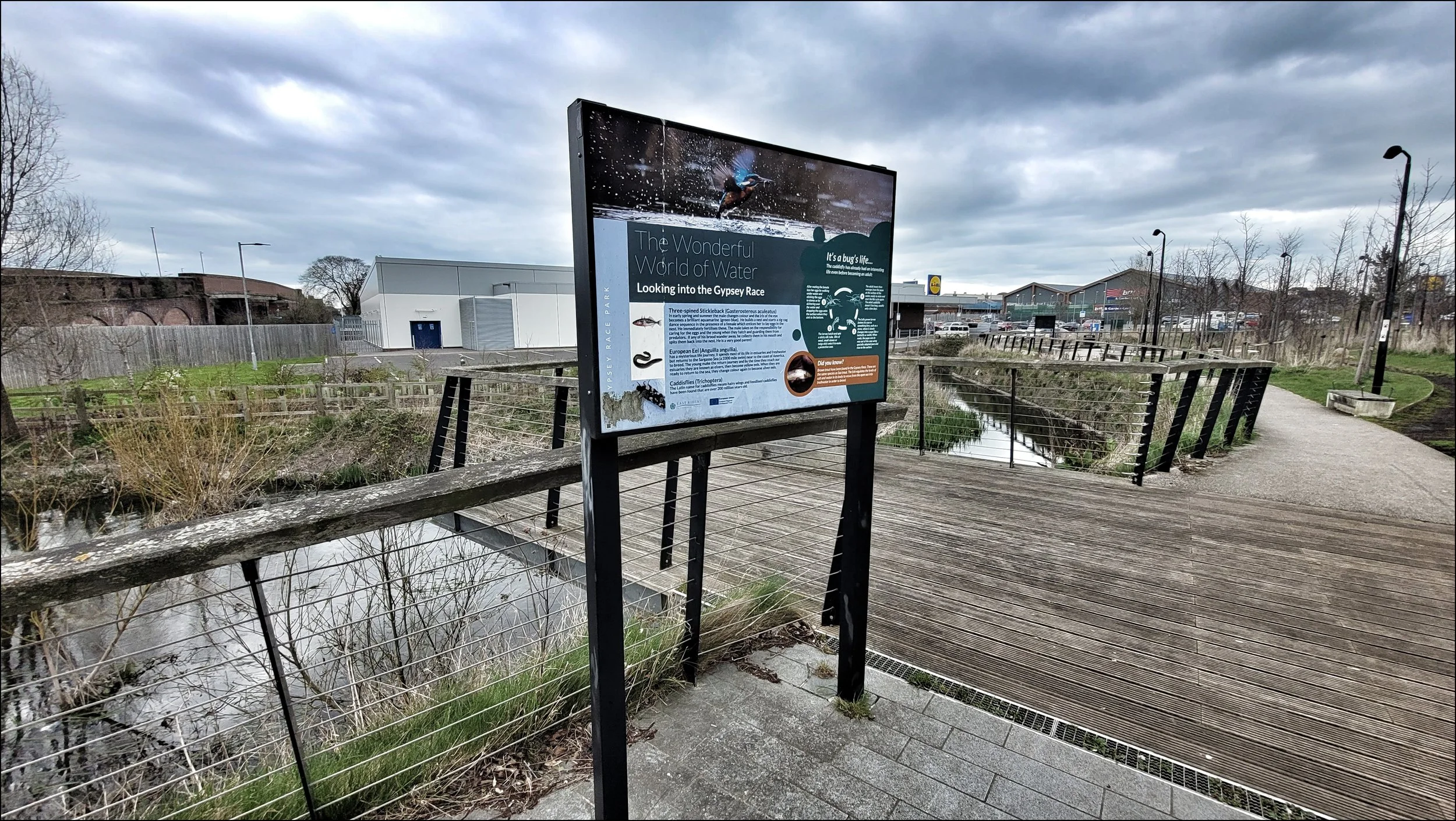
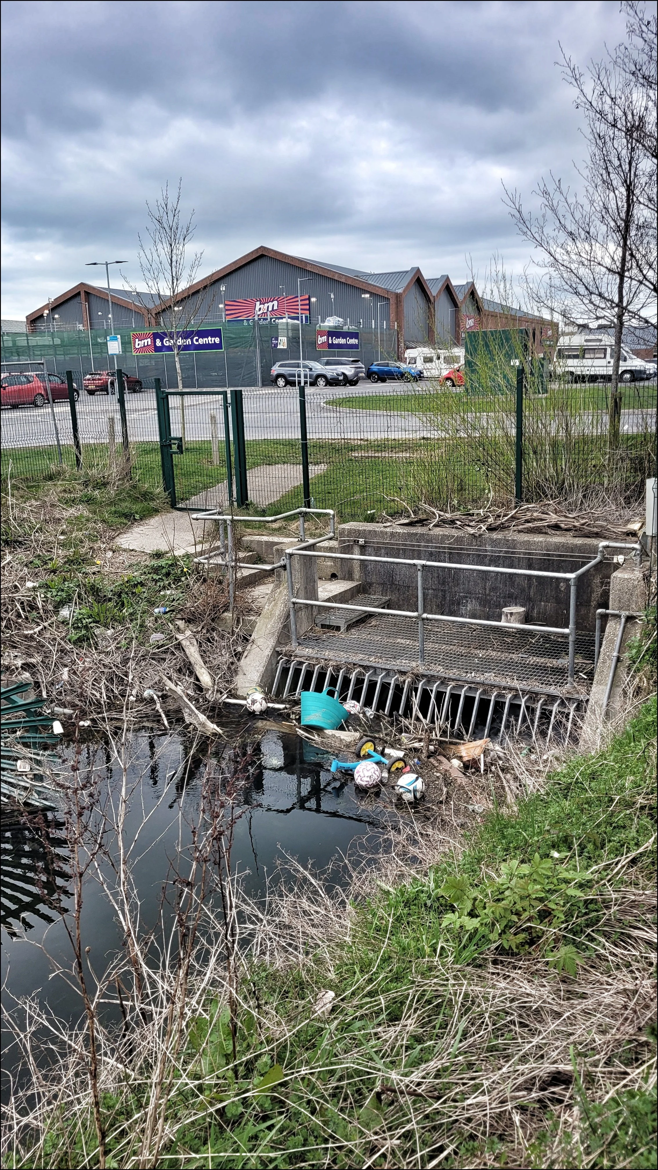
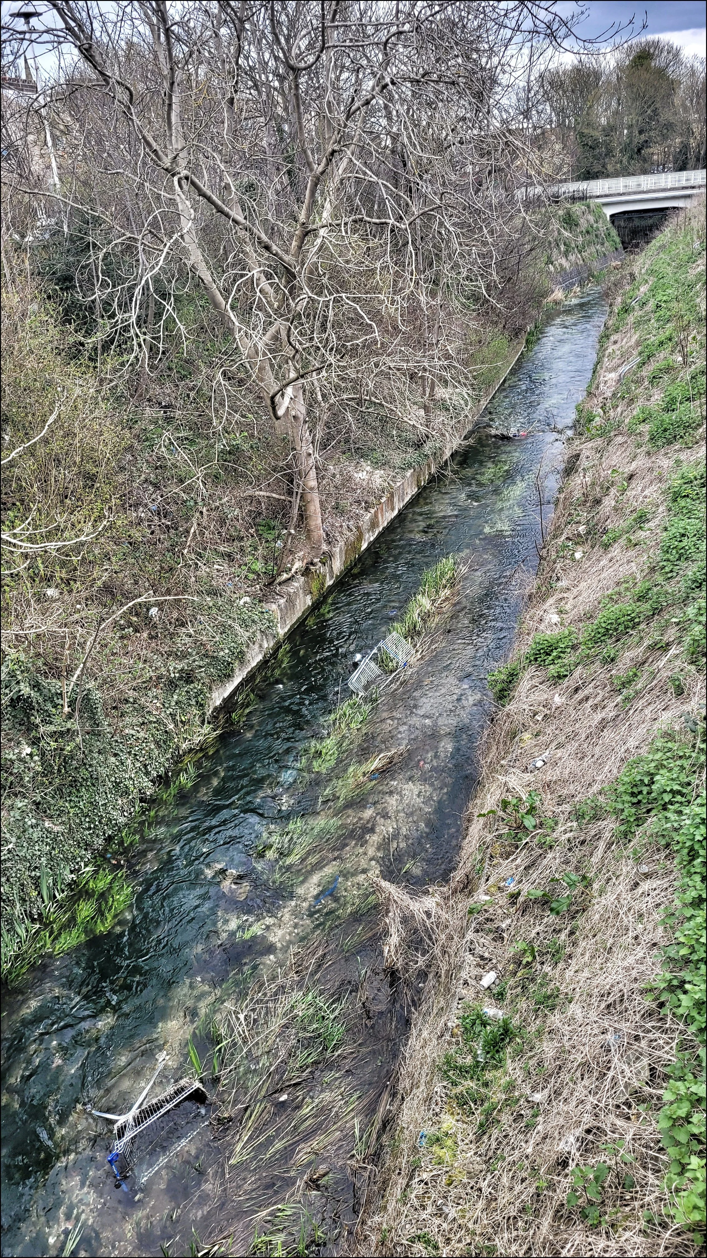
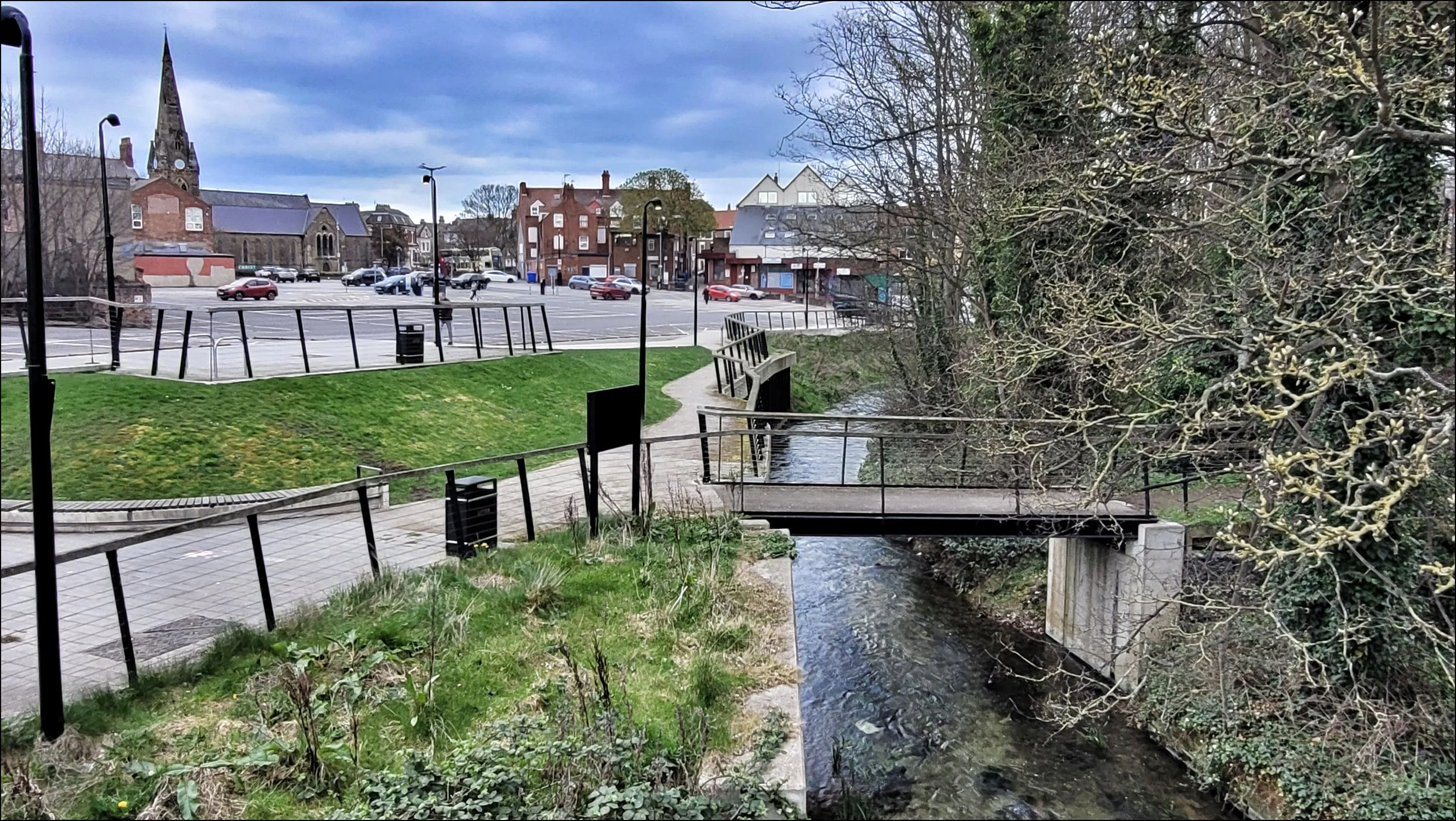
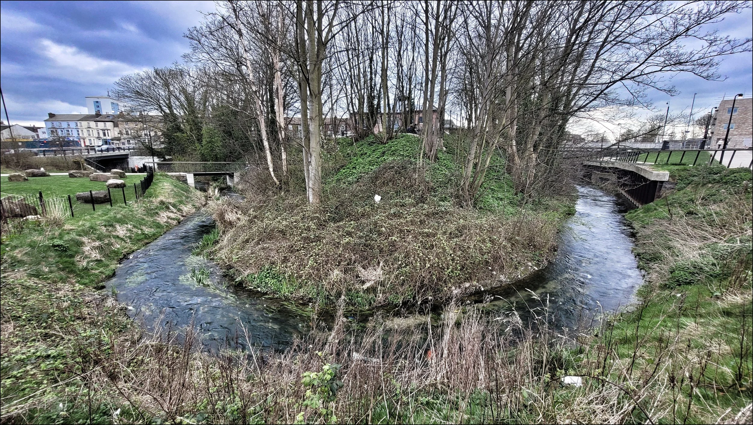
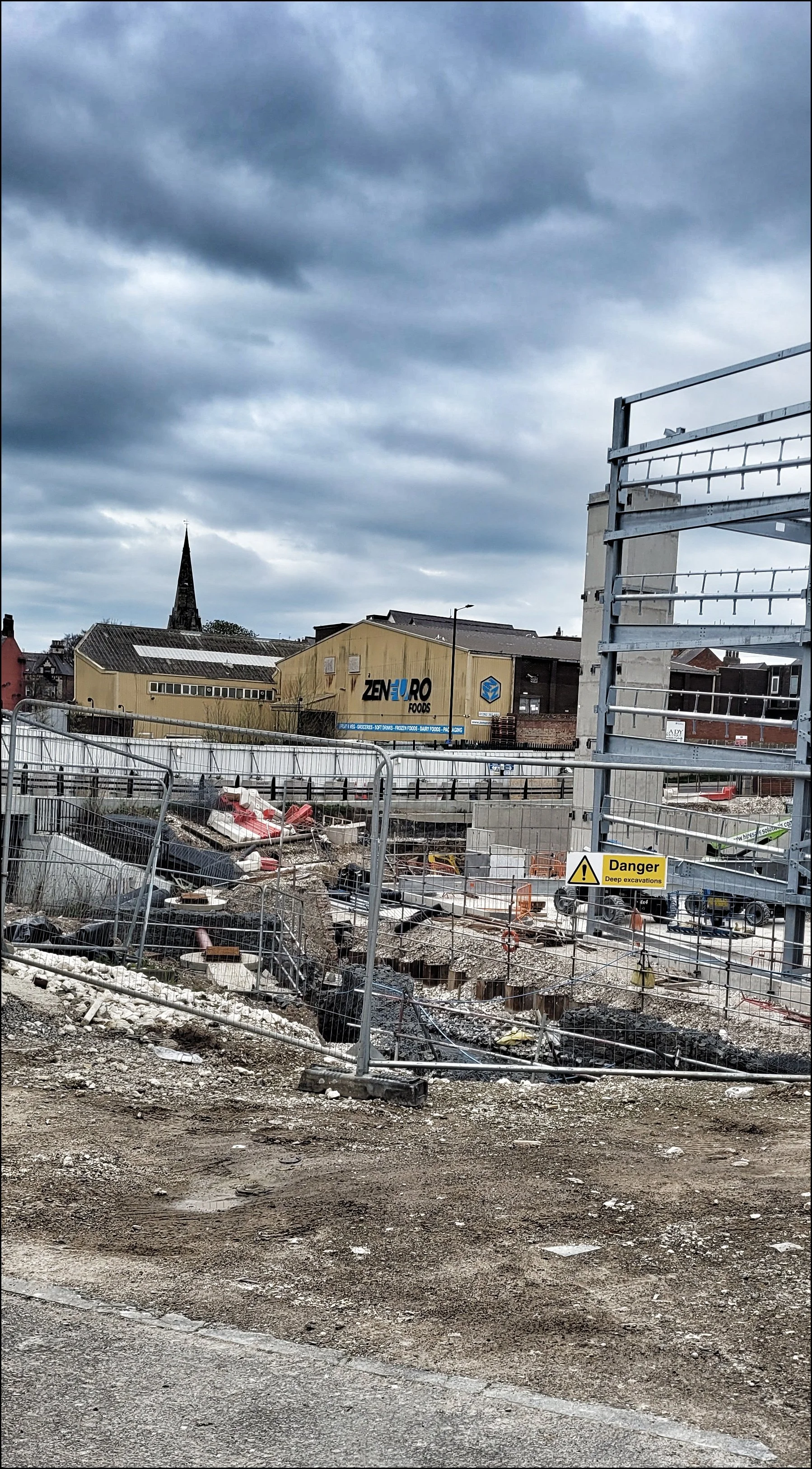
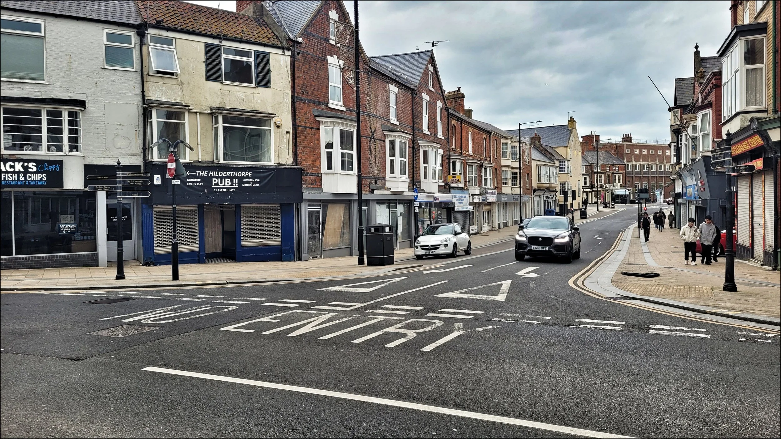
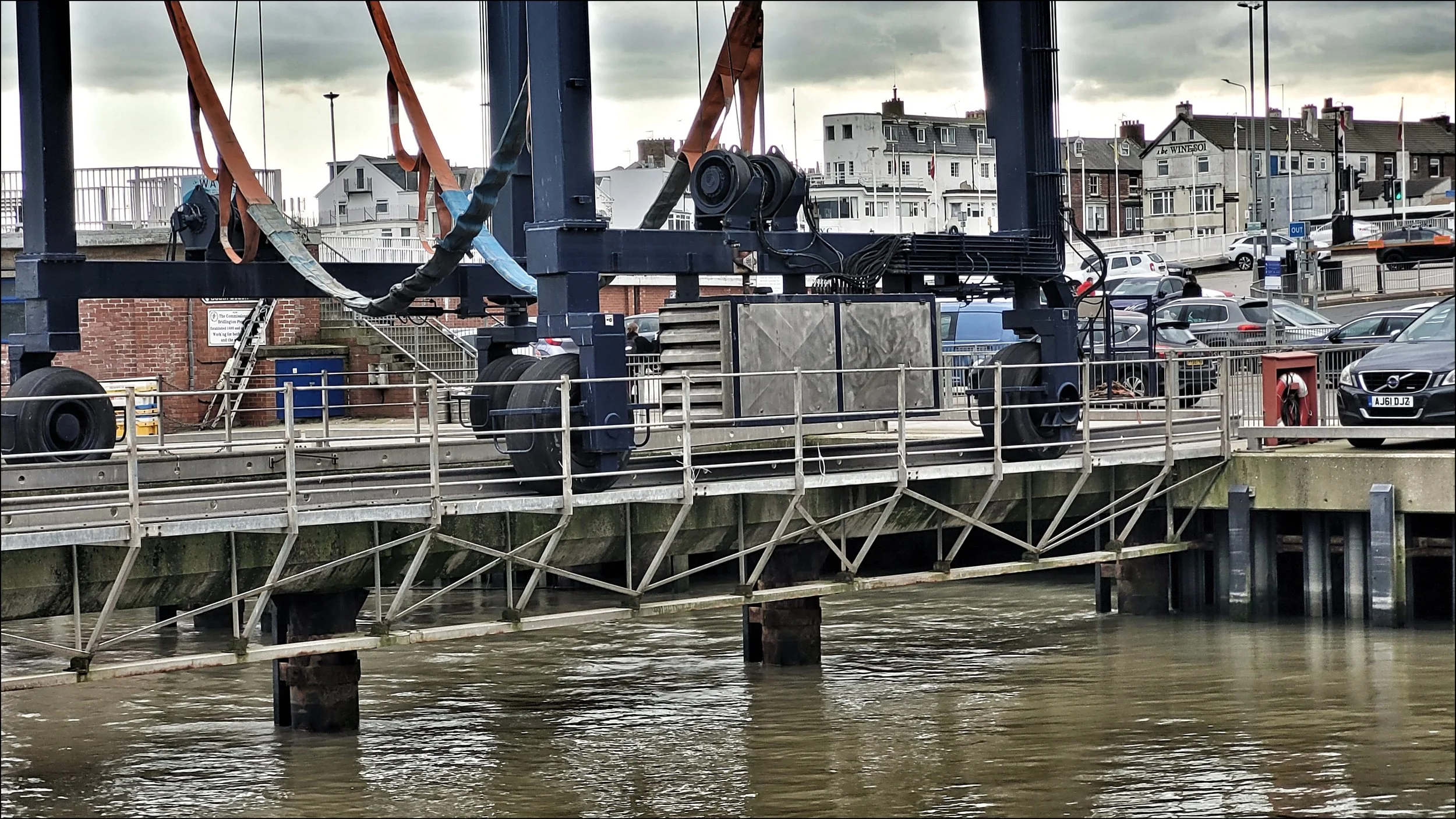
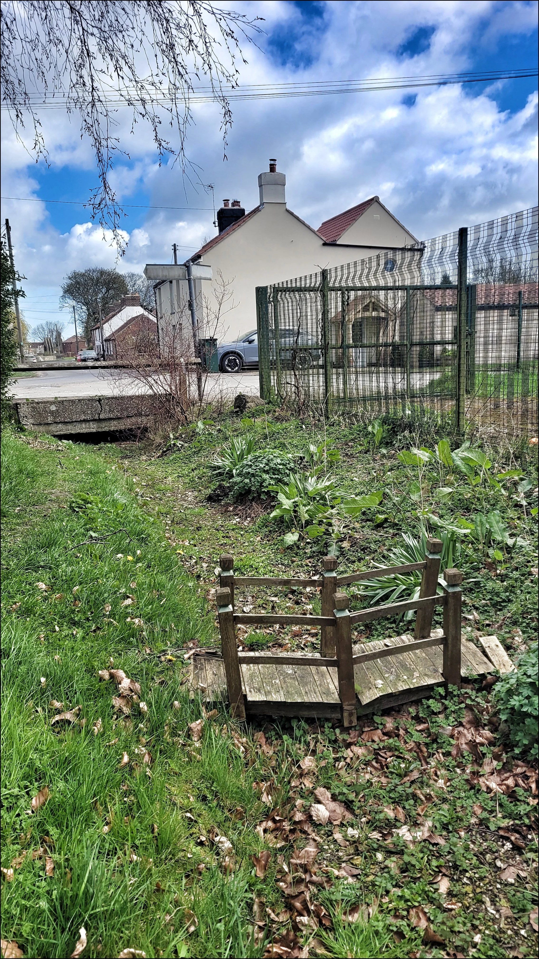
I cut across the field and followed it all the way to a row of terraced houses where I could go no further and detoured through some railings onto Gypsey Road. I found it again with it’s character still intact and flowing clear and shallow but straight along a cut through called Gypsey Bank. This was the last section where the stream held it’s dignity before it succumbed to urban planning and redevelopment. As it reached another of Bridlington’s back streets it vanished from view and I was forced to find a way over the railway line to reconnect with it again beside two superstore car parks. Here as part of a ‘regeneration project’ it had been refashioned into a questionable public access space of concrete banks and walkways known as Gypsey Race Park. A sign announced it as a ‘wildlife amenity’ and clearly it hadn’t worked in the short time since it’s inception in 2019. Where the stream disappeared through a concrete conduit under the B&M car park an array of assorted plastic rubbish had gathered. It reappeared the other side and I was horrified to see a couple of shopping trollies had been thrown in. The Gypsey Race theme park continued under a busy street and arced around in a litter strewn horseshoe before disappearing again. It was nearing the end of it’s journey but I would see it no more. At an intersection a major construction site with high boarding around it masked my view. It didn’t look good and when I peered through the site entrance gate I saw the stream surrounded by rubble and building materials with no indication that due diligence was under way. From here the stream became subterranean again and had been from Victorian times, flowing under the streets, shops and finally under the harbour car park. I walked down to the key side and checked my OS map to see where it emerged into the harbour. A landing jetty marked the spot. I looked closely at the surface of the water and there amongst the wooden posts of the jetty was a gentle current of moving water.
It had been a journey from gentle peaceful beginnings to urban chaos but for the most part the Gypsey Race waters had run clear. In the Norse language ‘Gypsey’ means ‘spring’ and this wonderful unpredictable water course had played Hide and Seek with me for the last few days.