Along the Mizen Peninsula
06.08.2026
I was a good way around the coast of South West Ireland where many of the sites I had so far visited were close by the Wild Atlantic Way. At the eastern end of Bantry Bay I now headed inland to find the late Bronze Age complex of Kealkill. I briefly felt I was somewhere in the Northern Territories as I took a minor road following the River Coomhola to Rangaroo. A right turn southwards ascended up the side of Knockbreteen Mountain to where I had marked the Stone Row of Maughanasilly.
Obscured from the road, this was another site that looked seldom visited. On a shallow mound of wild flowers, five stone blocks had been set in a NE/SW direction. A sixth stone had fallen but the upright five ranged in size from a foot to four feet in height and looked like some of them had been deliberately squared off with flat tops. It seemed possible from the discovery in 1977 of flint tools around the base of the stones, that they were carved in situ. It is thought the row may have served as a focus for ceremony and ritual and being on a NE/SW axis there could well have been a connection to the observance of the Lunar Cycle. I had a clear view of nearby Lough Atooreen with Bantry Bay out to the west. Down below to the north was the river valley where I had come from and undoubtedly where Bronze Age settlements had been two millennia before me.
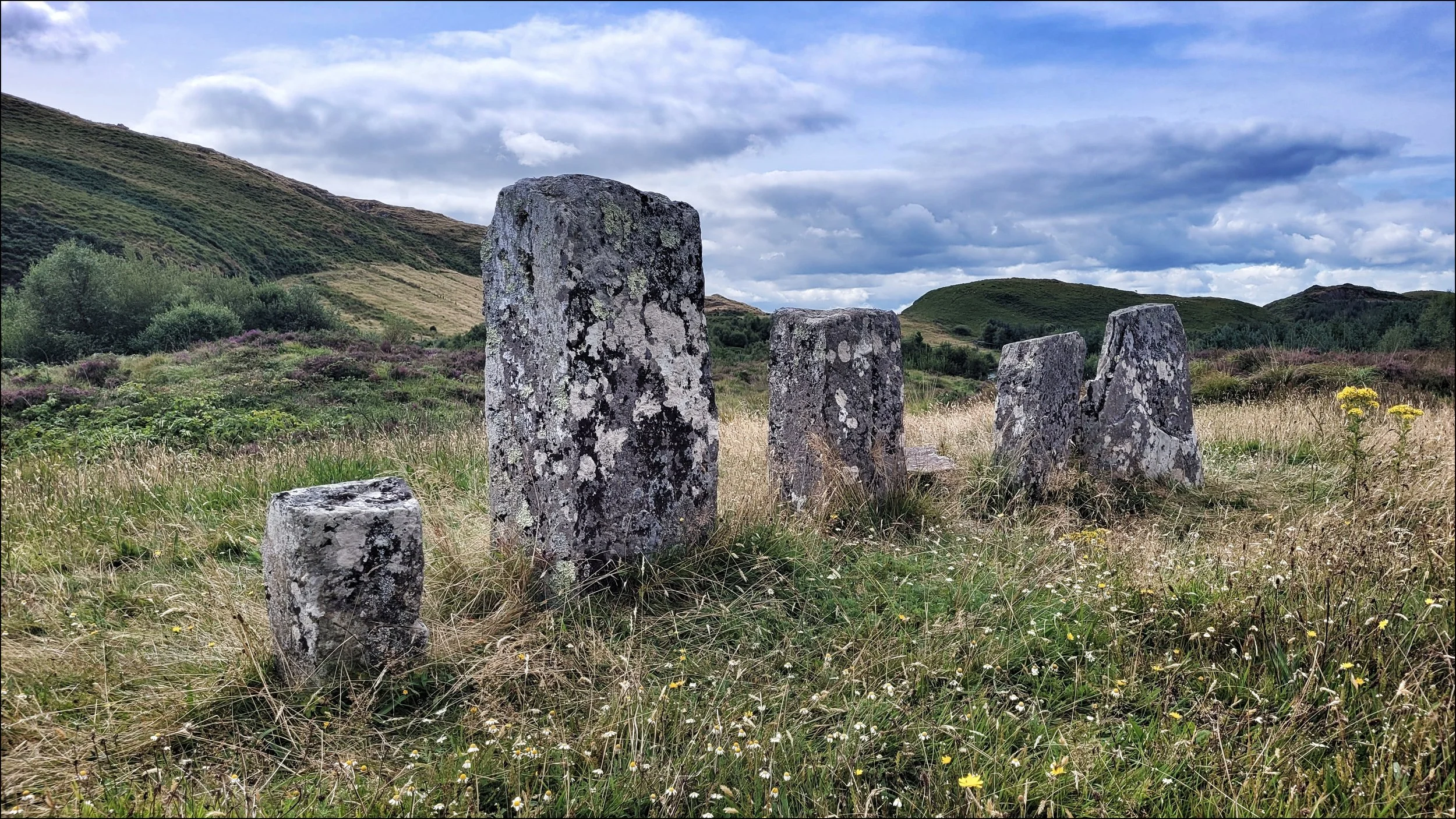
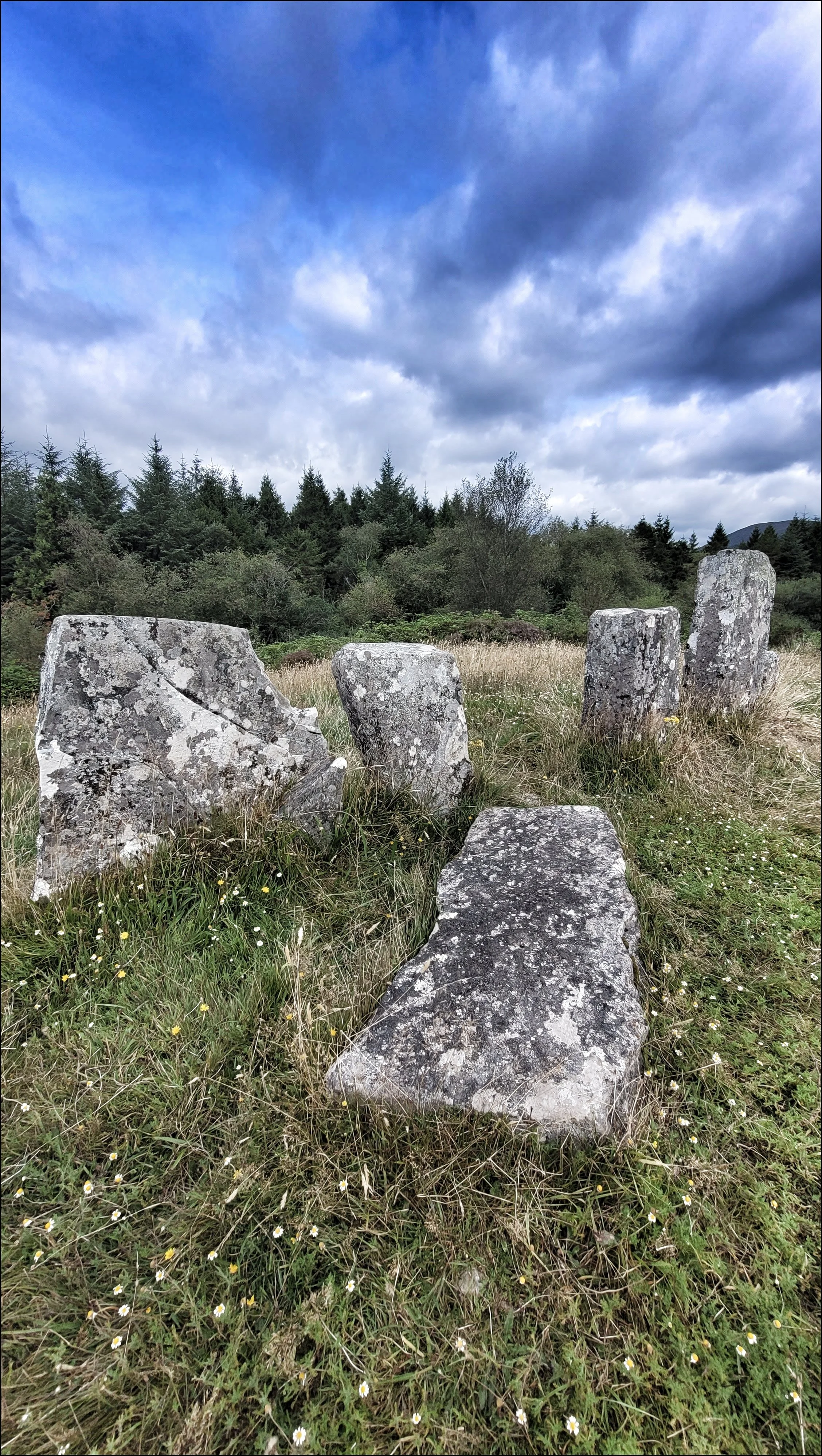
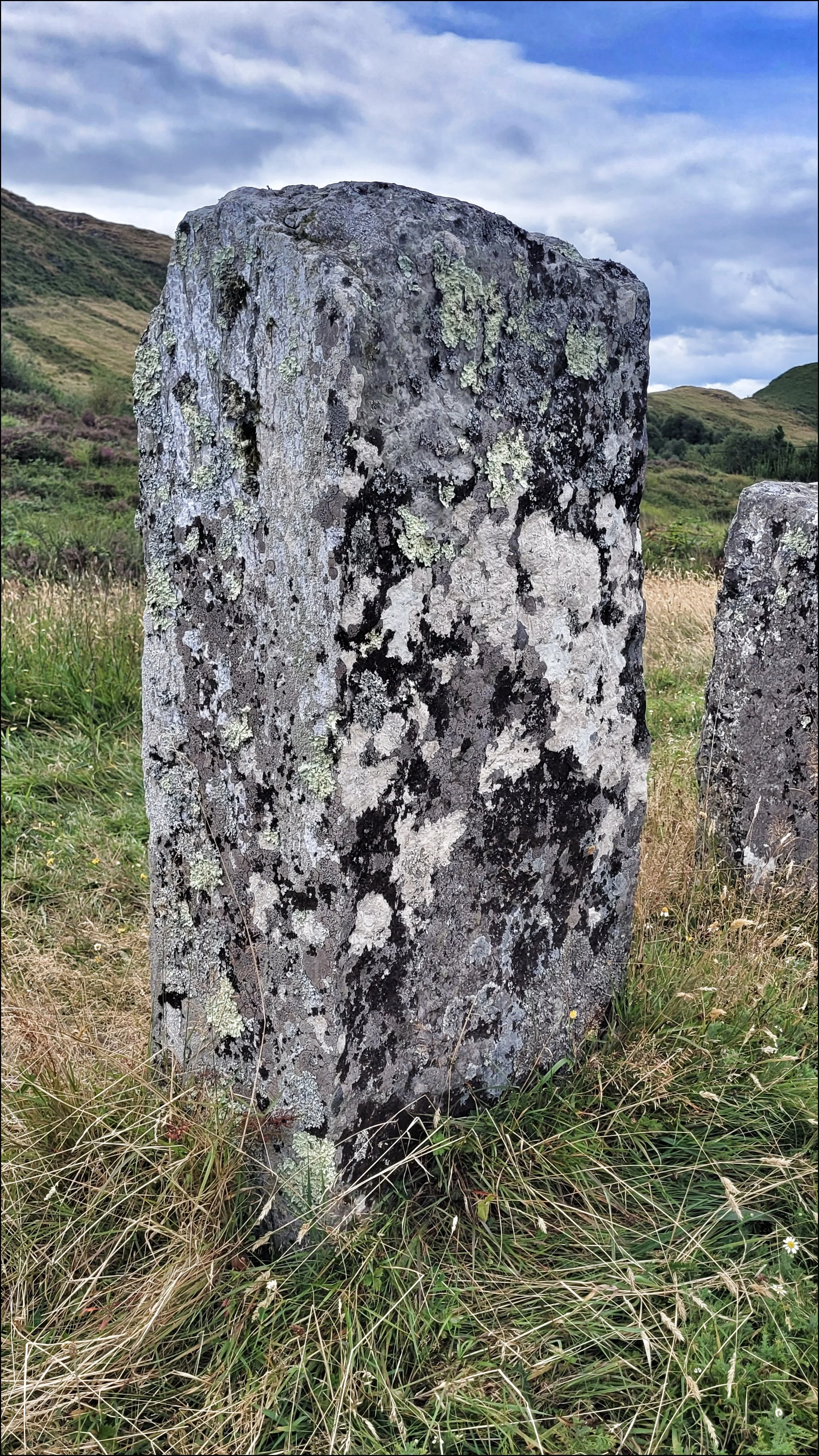
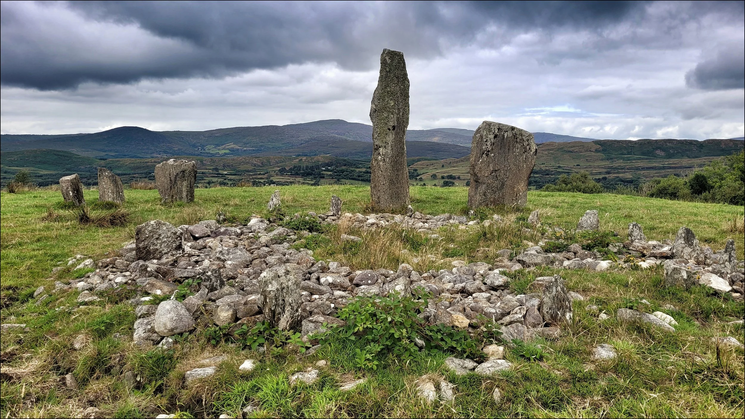
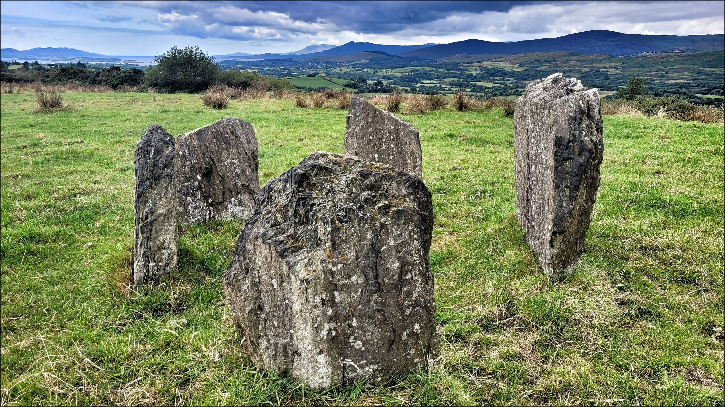
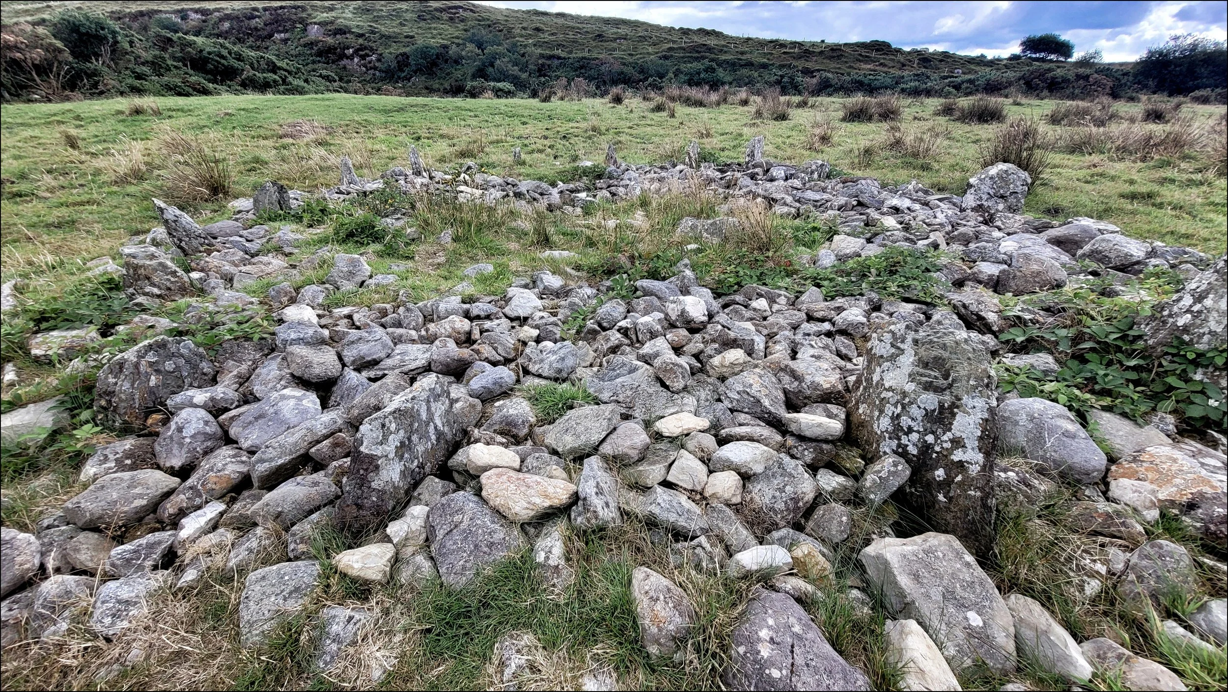
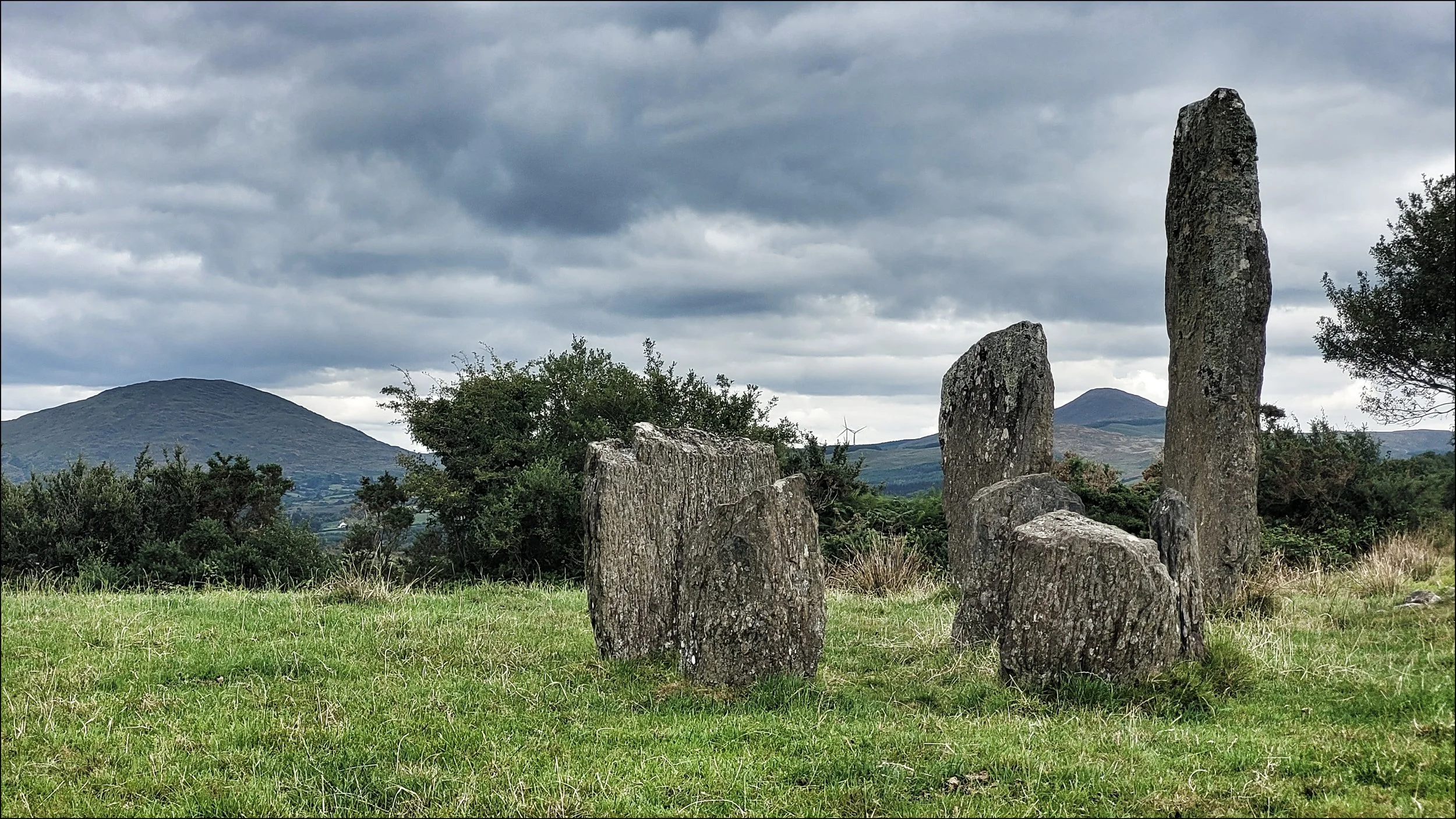
I moved on south past Carriganass Castle to the village of Kealkill and up Fort Hill, a steep narrow lane to the Bronze Age complex of Kealkill. Once through a creaking iron gate a path lead to the stones at the far side of the second field. The first feature that caught my eye were the two standing stones at thirteen feet and eight feet tall, both with slender edges. The taller four tonne stone had been broken during excavation work carried out in 1938 and re erected, all in the name of archeology. Before them, tightly clustered were five stones of even height making up the Axial Circle, some distance from the taller duo. Very little was found here from the 1938 dig, other than two cross trenches that may have supported a wooden structure. Directly to the south east lies a flat cairn of surface stones with a ring of small spikey uprights protruding around the perimeter, much like the cairn circle of Temple Wood in the Kilmartin Valley. All that was found here were the eighteen radially set socket holes and the small upright stones. It was disheartening to see the cairn so badly preserved and in such a ramshackle state. With the unique layout of this complex there was no doubting the importance of this site, but knowing what had gone on here, the place felt and looked a little beleaguered.
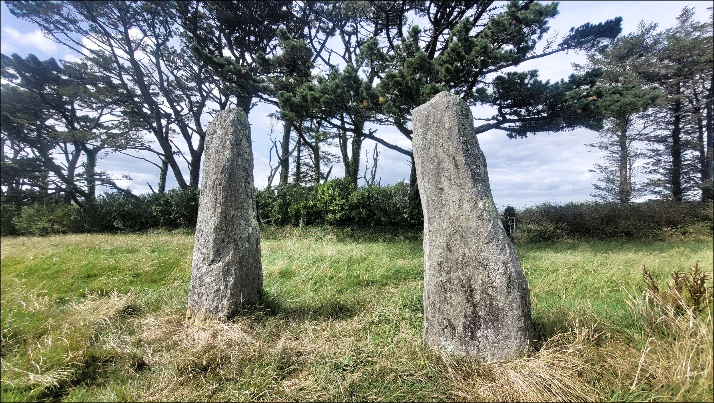
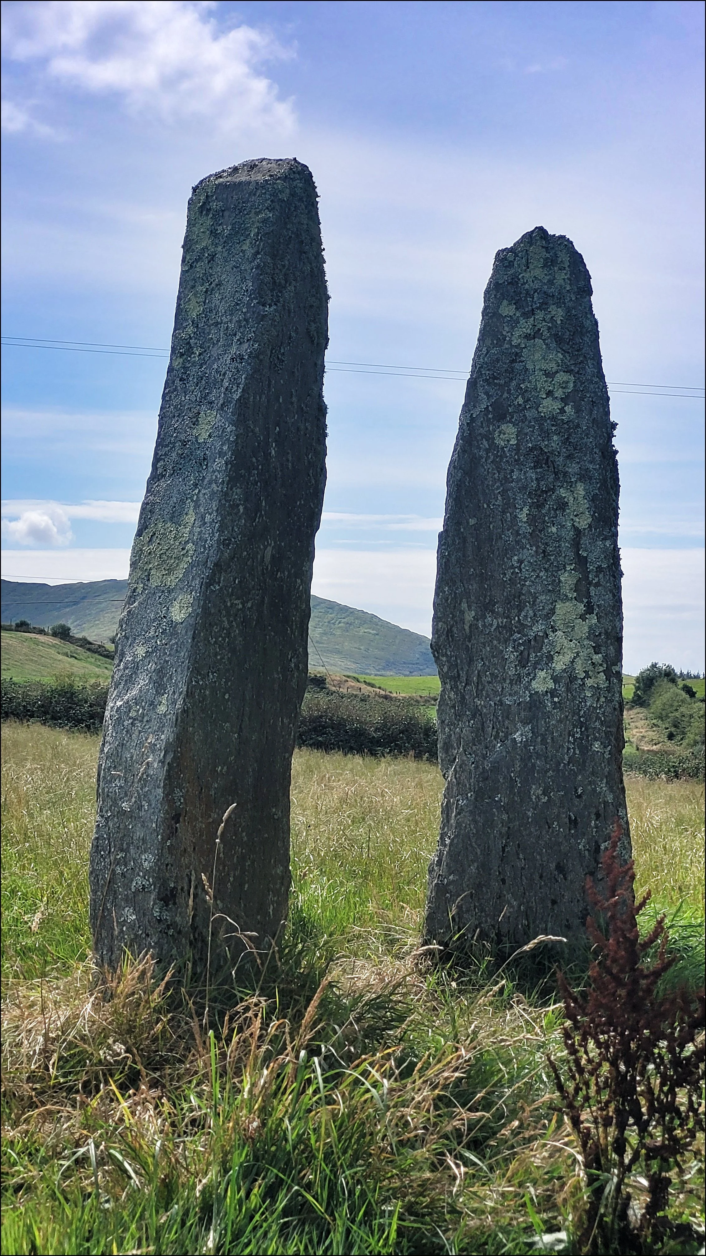
I got back onto the Wild Atlantic way at Ballylickey and drove on through Bantry and Durrus, then just beyond Blairs Cove I took Mine Road up onto high ground at the eastern end of the Mizen Peninsula. There behind a line of mature trees were a couple of standing stones only four feet apart and six feet high, listed as Coolcoulaghta but known locally as Dunbeacon. They were both a slender six feet high and had the characteristics of Portal Stones. Their close proximity to each other reminded me of two figures deep in conversation with one leaning into the other as if passing on a secret. In 1980 the stones were removed but outraged locals had managed to have them reinstated in 1983. As recently as 1970 a third stone stood here, but is now buried somewhere nearby.
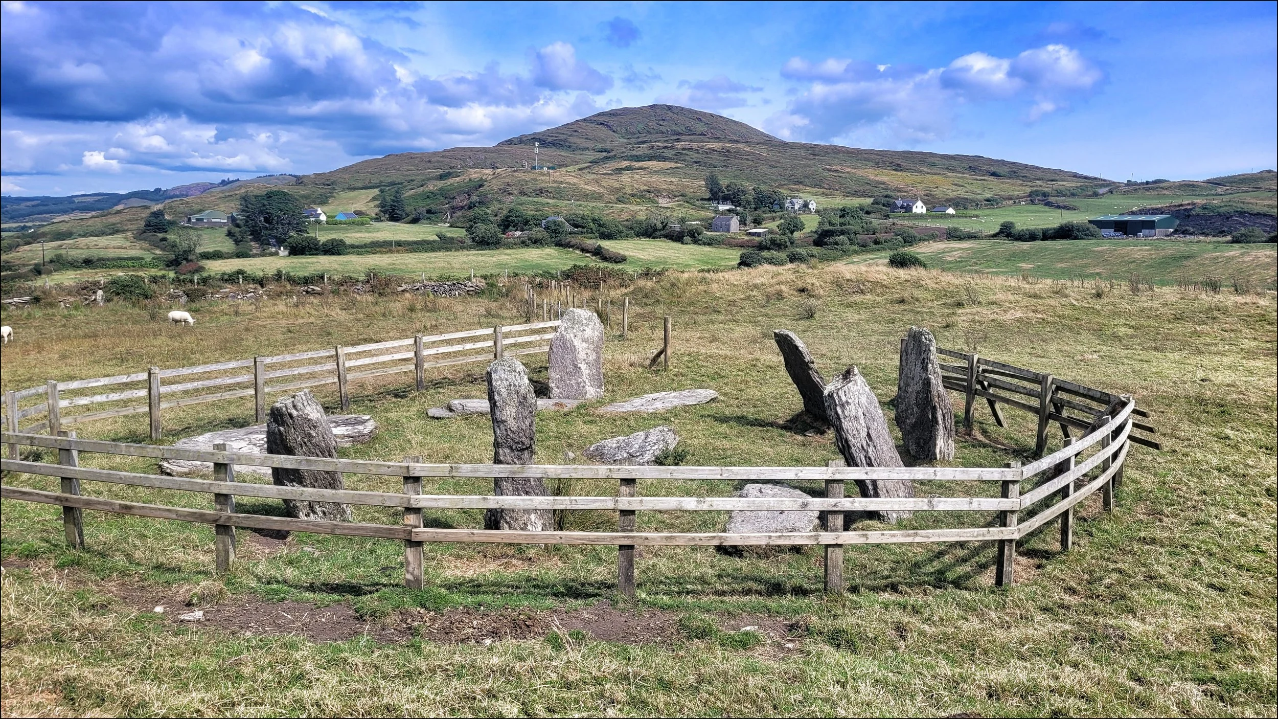
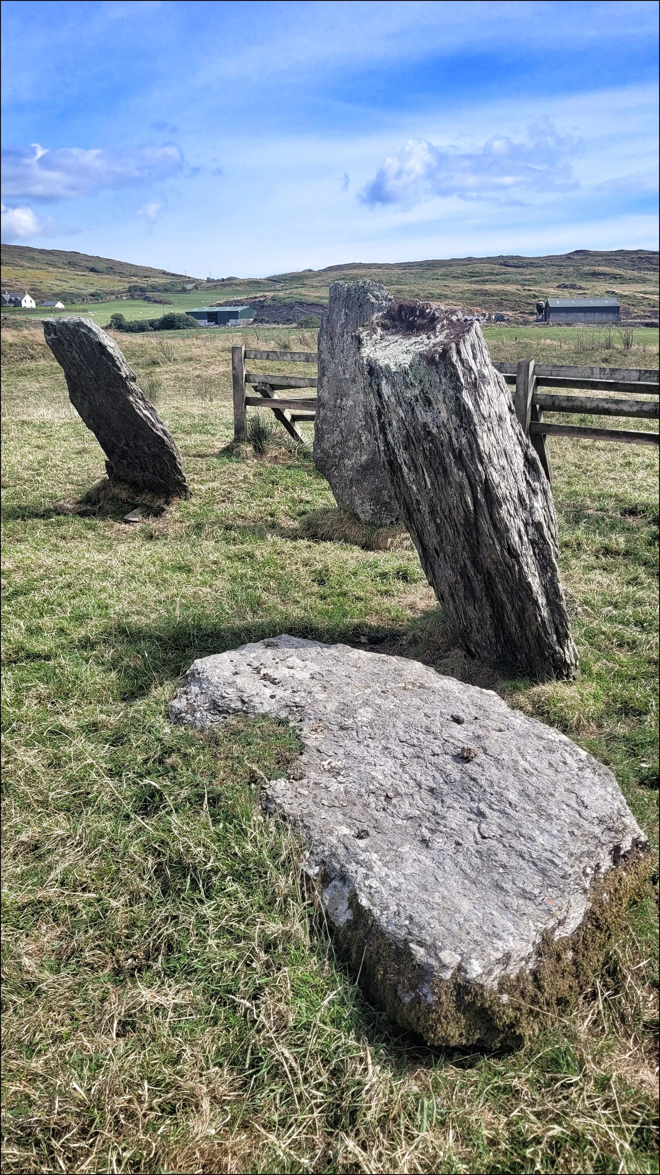
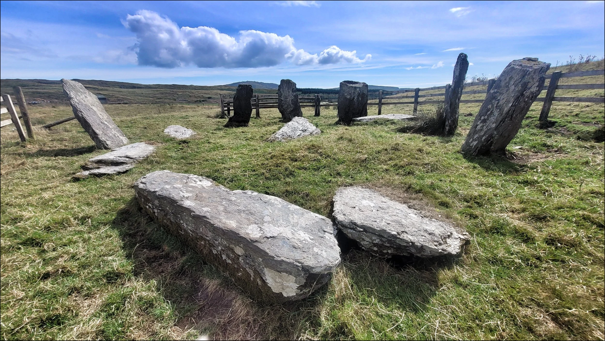
Further up the lane on the opposite side, a long footpath skirted field walls and fences for half a kilometer to the Dunbeacon Circle. This was a circle of six uprights and five fallen stones in a pretty disturbed state. An ambiguous large flat stone at it’s heart may well have been a cairn stone or one fallen and misplaced from the perimeter. I was surprised to find it surrounded by a wooden fence that was far too close. A section of it had been opened to allow access, but I felt it had been insensitively caged in, compromising it’s character and spoiling the view and atmosphere. I checked my database and saw photos that showed it free of the fence giving it a more dignified appearance. An electric wire had followed the footpath here, so I guessed the fence was to keep the cattle and sheep at bay. I had come across a scheme being trialed in Cornwall where cattle were tagged with an alarm that would activate if they strolled away from their grazing area. It was none the less an interesting sight, where some of the stones leaned in to the centre and some leaned out giving added confusion to the circle.
An hour on I was beside the Golden sands of the Mizen Peninsula’s southern shore. This was a troubled coastline of multiple shipwrecks between Mizen Head and the Fastnet Lighthouse, seven kilometers out in the Atlantic. On this day I was lucky to be blessed with calm waters, a clear blue sky and an excellent car park, known as a Wild Atlantic Way Discovery Point.
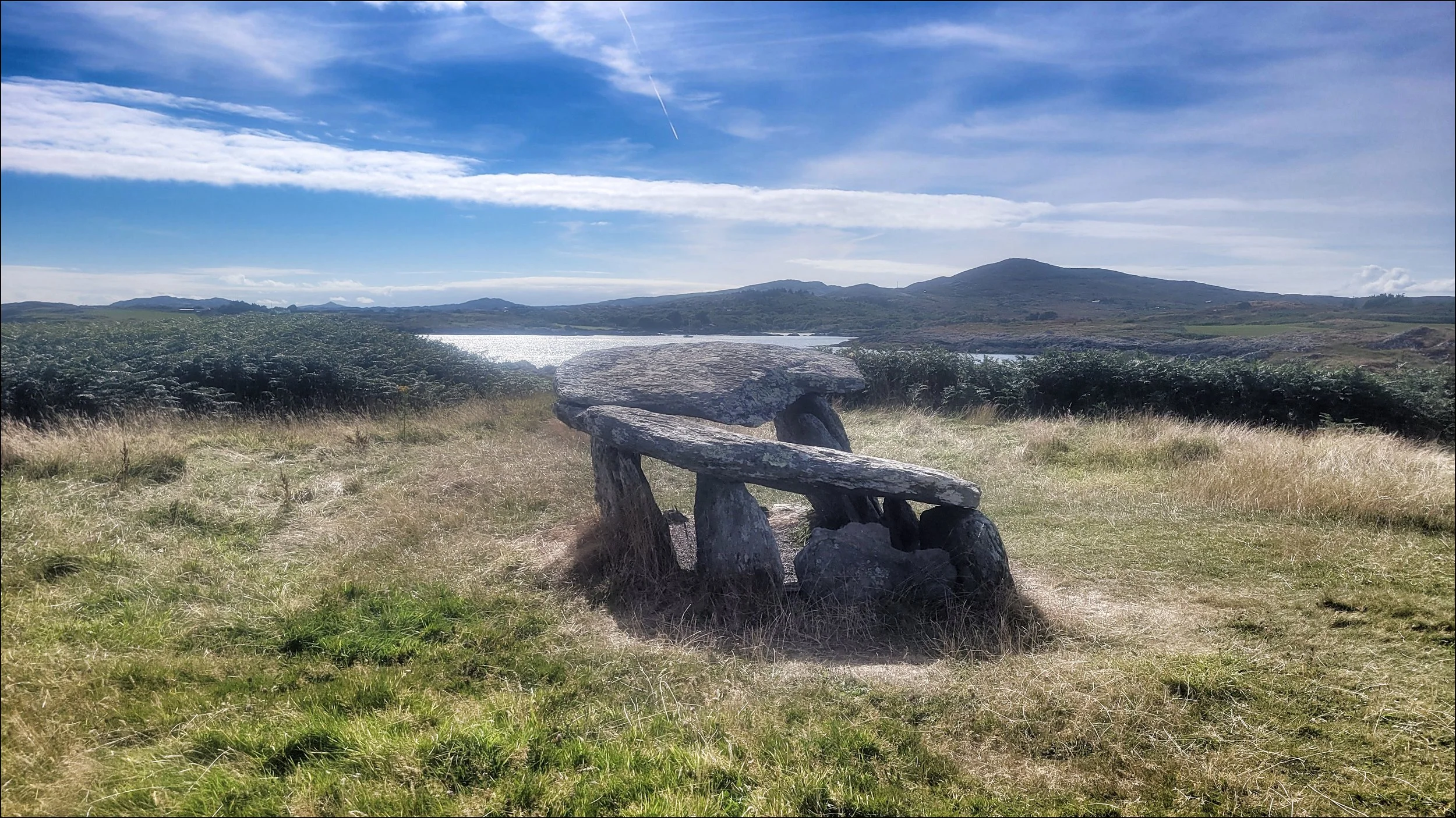
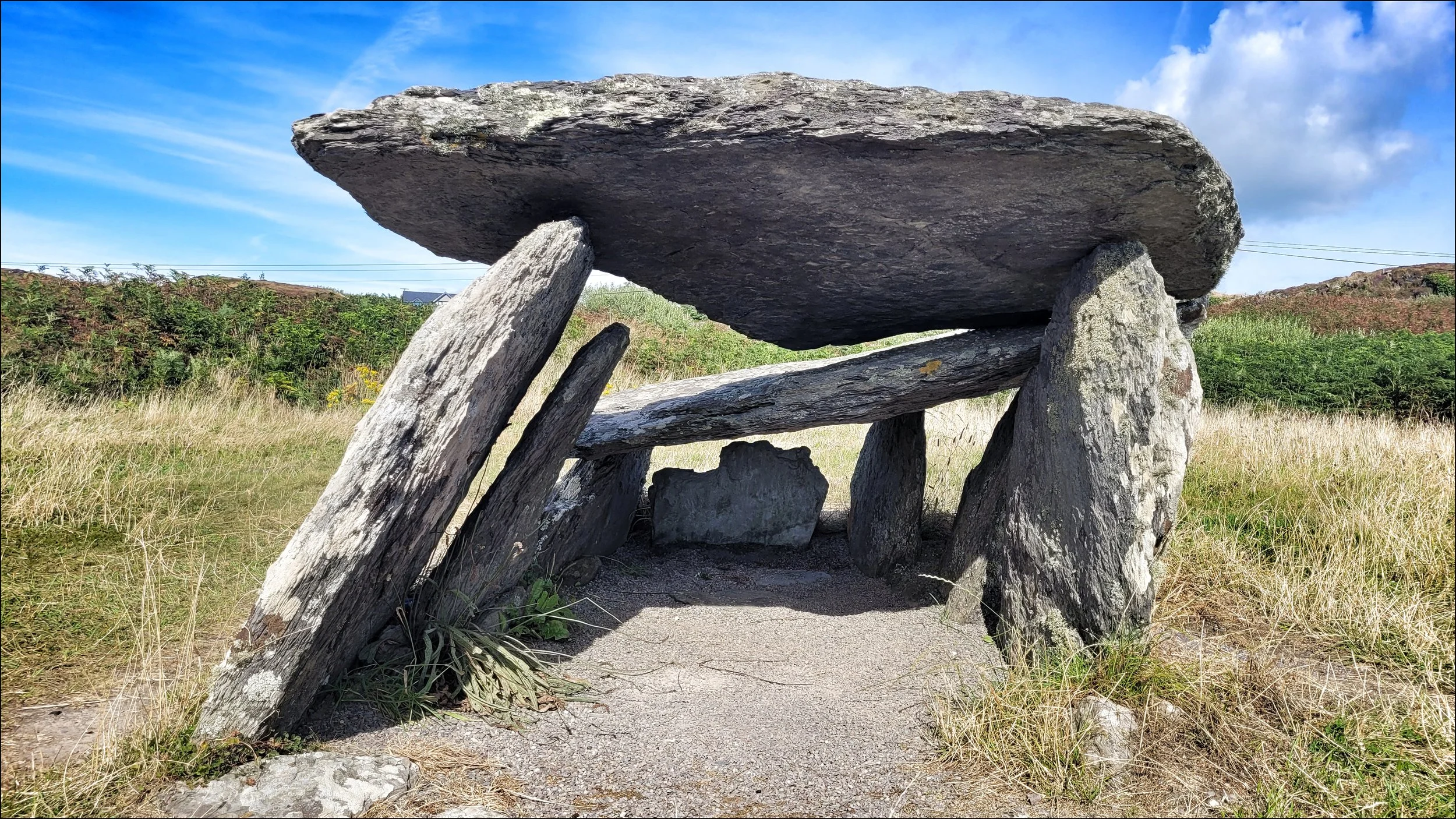
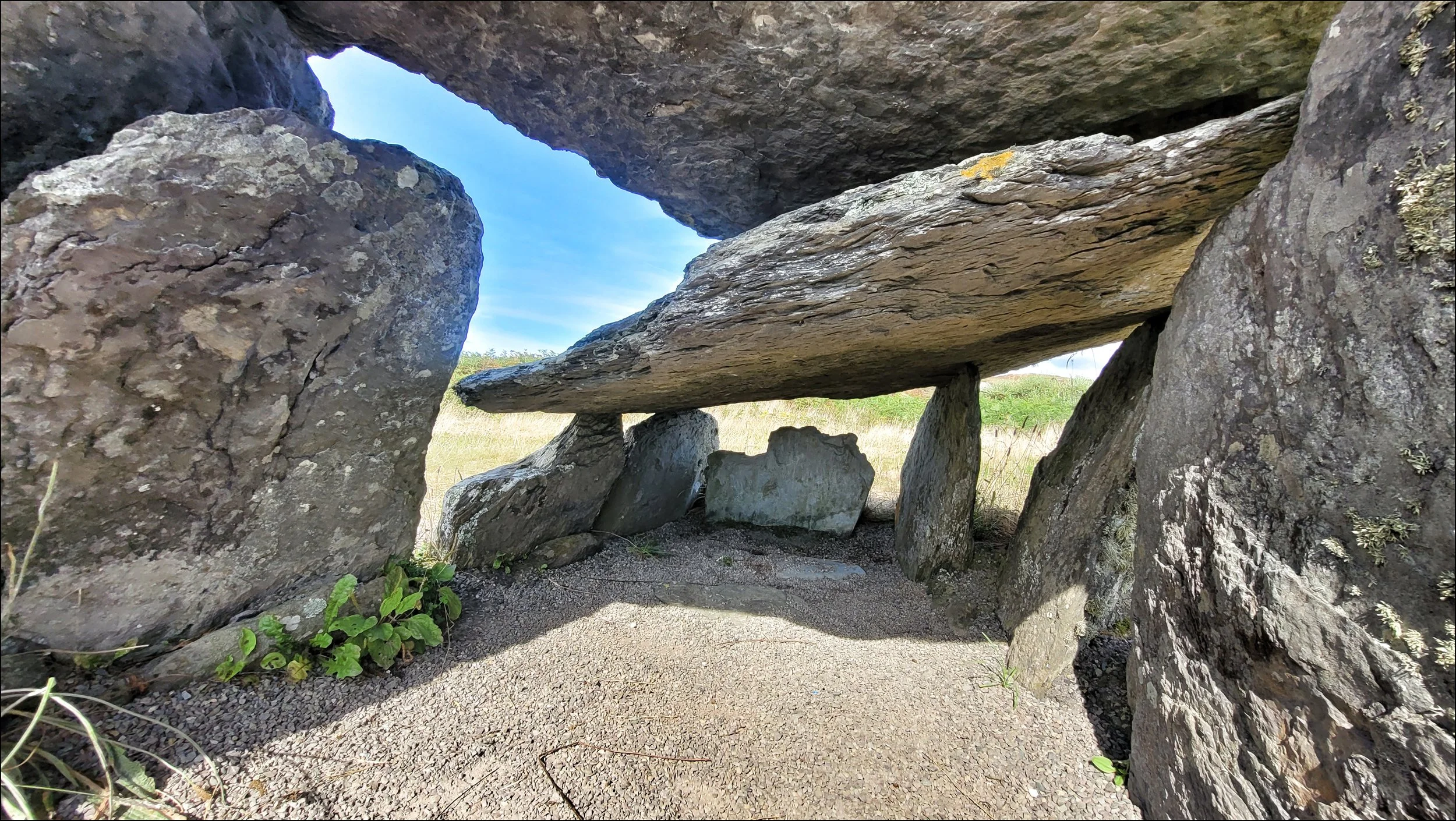
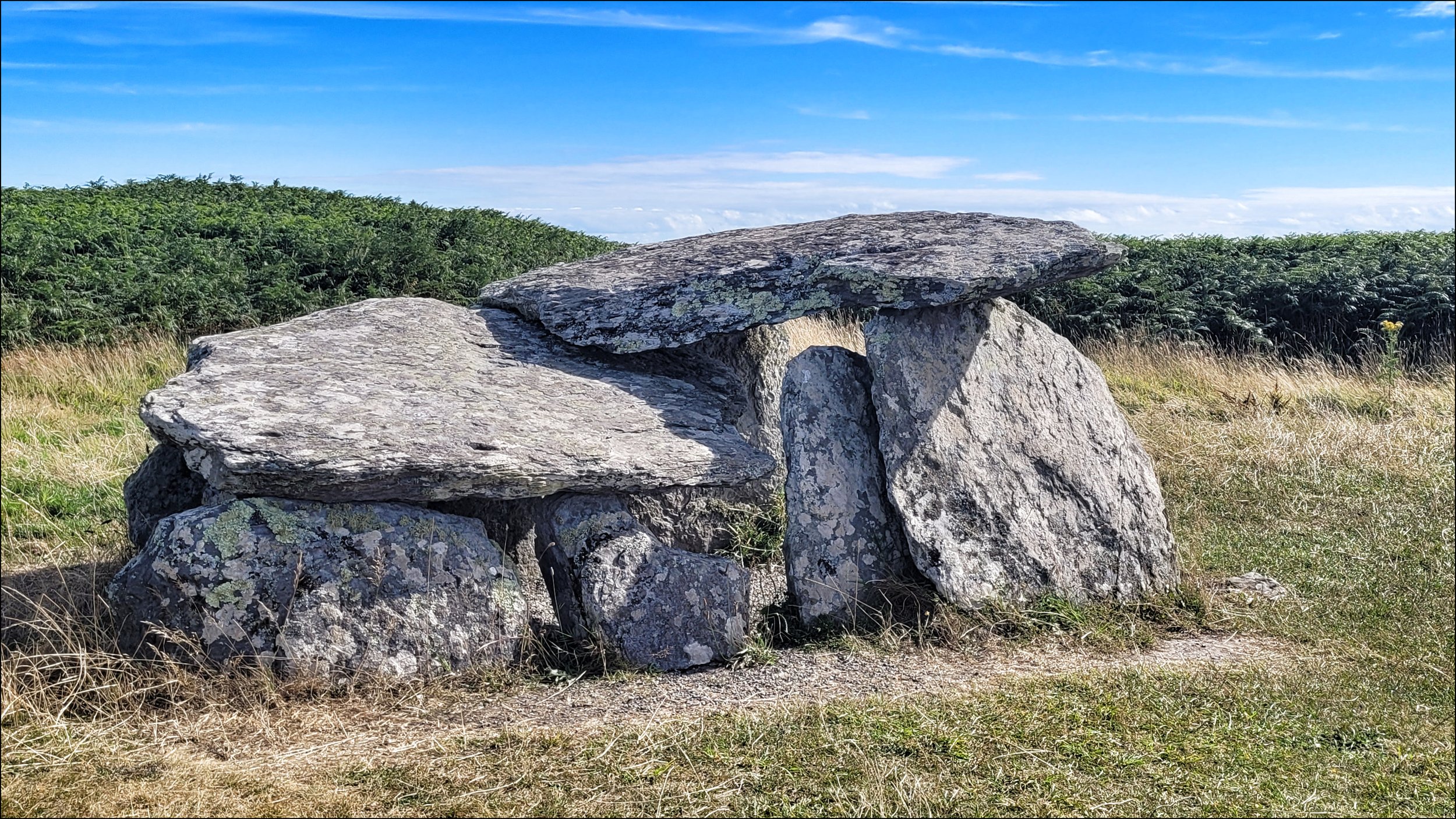
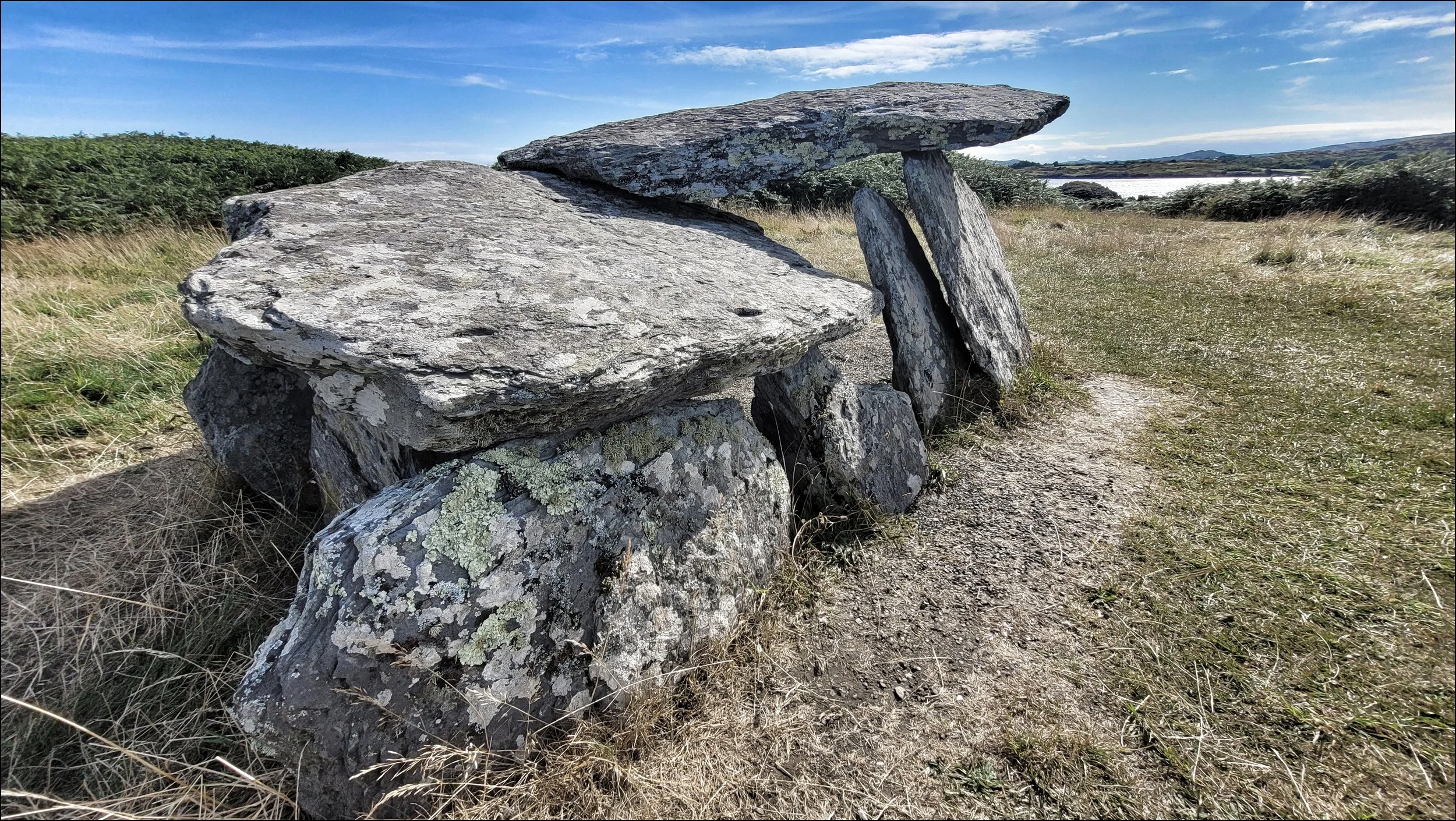
Only a stones throw away is the Altar Wedge Tomb, set in a clearing of ferns on the rocky shoreline facing out to a glistening sea. It was a curious spectacle that seemed to defy gravity when viewed from a certain angle. Looking at it head on from the west the side slab uprights were tilted toward the south, much like a house of cards that were about to topple. Never the less these supported a sizable capstone which had cracked in two. In 1989 fishbones and shells had been discovered dating back to 200AD, but from the discovery of cremated remains, the tomb is thought to have been constructed between 3000 and 2000BC. As the name suggests, this was another ancient tomb where priests conducted mass when Catholic worship was outlawed in the eighteenth century.