Up on Burnmoor
19.10.2025
I had returned to the Lakes a month on from spending the Autumn Equinox at Castlerigg and my plan was to concentrate on covering sites in the western and southern regions of Cumbria. I had met up with two friends who were keen to join me on a hike up to Burnmoor to find three stone circles just north of the Eskdale Valley in the Western Fells. We had missed the narrow gauge train in Ravensglass so we drove up the valley to the small village of Boot at the foot of the moor.
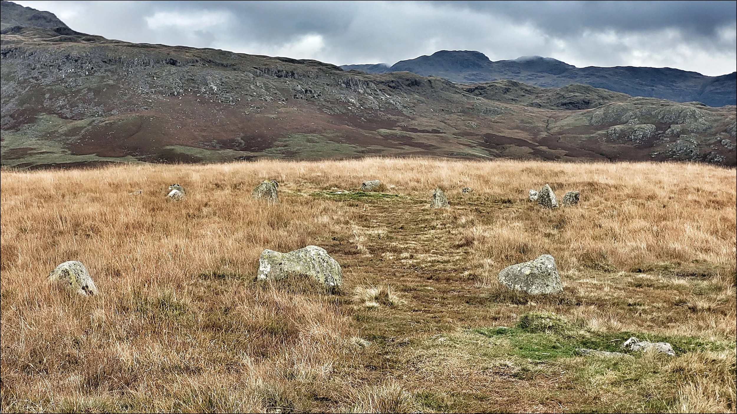
The footpath began at an old stone bridge next to a mill with a water wheel that was still working. It was a steep climb for about forty five minutes until it began to level off with fine views north east of Scafell Pike and behind us Harter Fell and the waterfall of Birker Force. It was only a short distance on when the path took us straight through the middle of the first circle, Brat’s Hill, with a rather scruffy layout of forty small to medium sized rounded stones forming a circle thirty metres across. The grass here was long and gave the structure an indistinct appearance. However at it’s centre was the unusual feature of five cairns all with small mounds, kerb stones and a sunken centre that may once have housed a cist. There were believed to be hundreds of cairns on Burnmoor so I climb up onto a nearby crag to scan the flat moorland around us. The view of Brat’s Hill was no better from here and I could see no sign of cairns, but two hundred metres off to the west was another circle raised up on a small ridge.
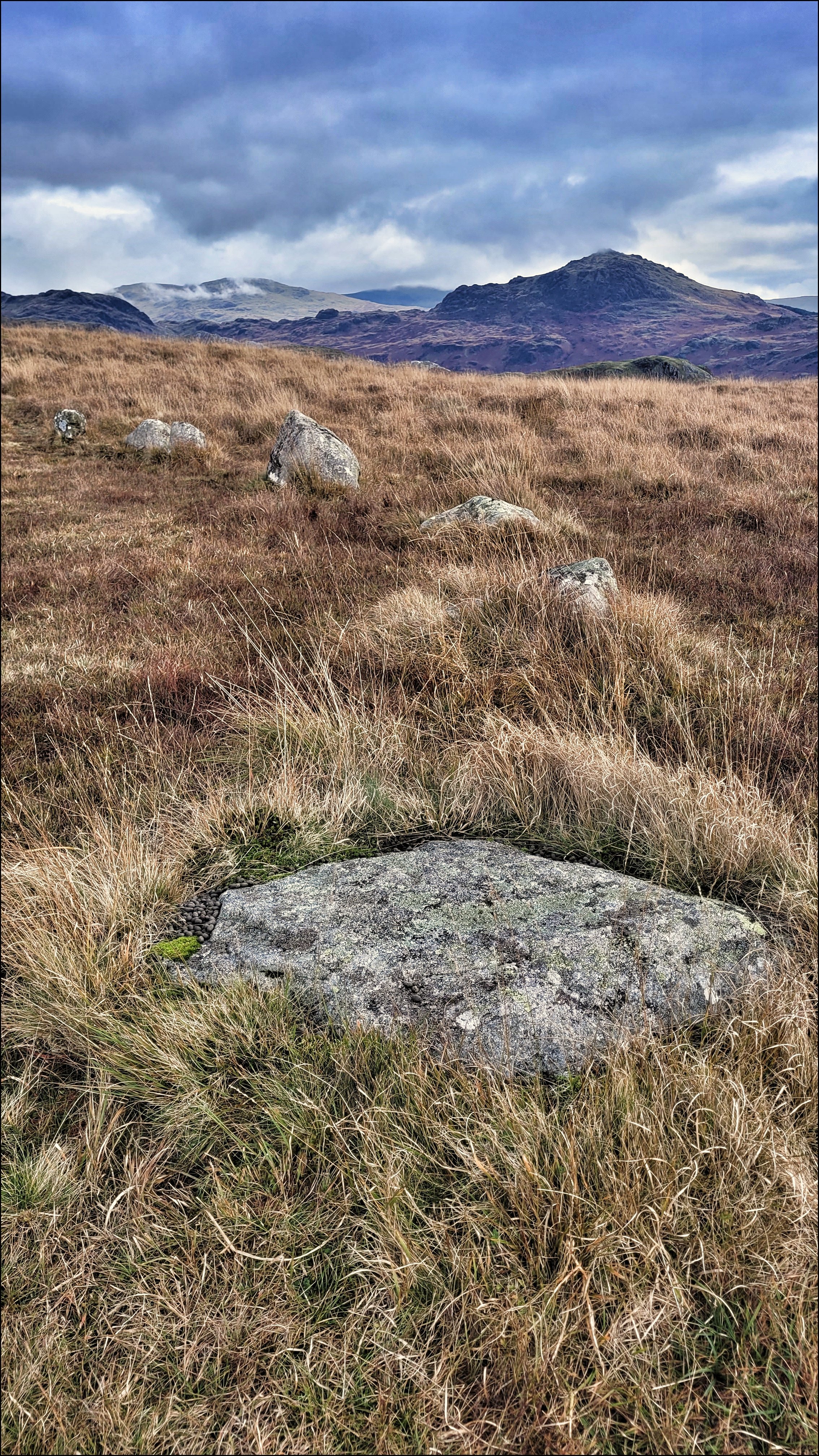
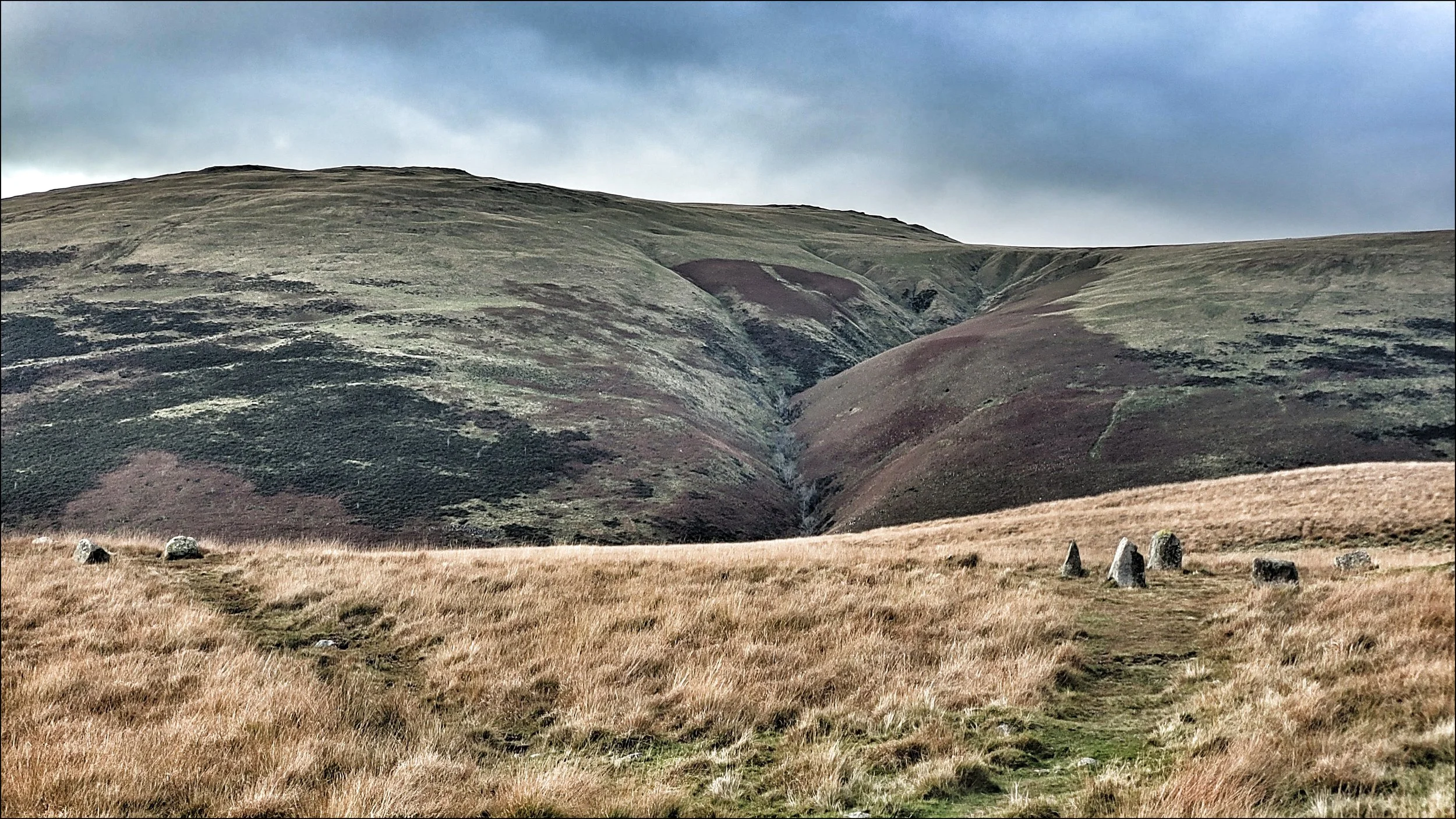
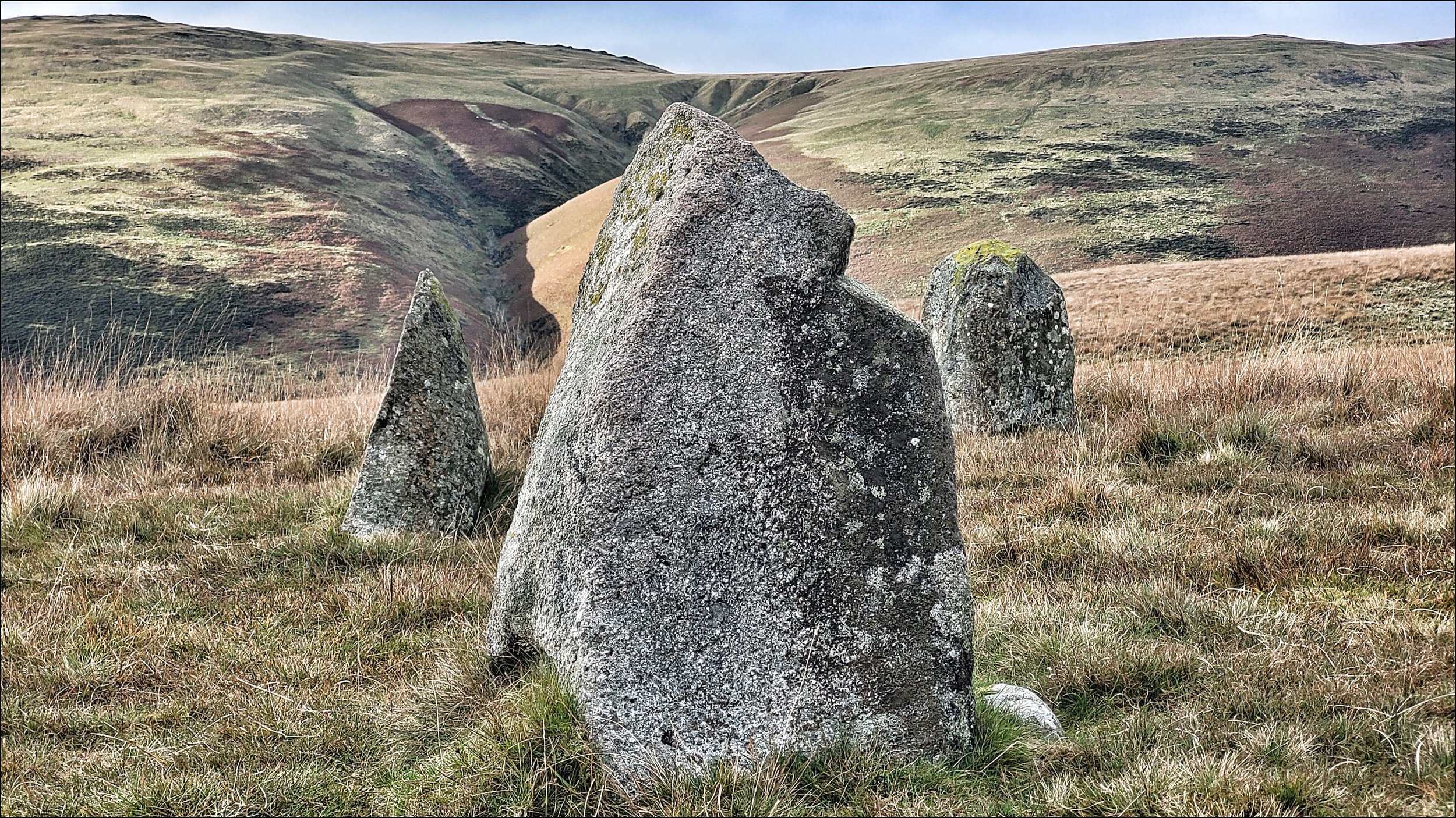
We walked over to it to find a smaller configuration of eleven smaller stones neatly spaced out around a singular cairn. This was White Moss NE circle. At sixteen metres across it was much more pleasing to the eye as all the stones could be seen in shorter grass. What’s more the stone’s angles and shapes were more interesting with some of them Pyramidic. On the southern arc one of the bigger stones appeared to have a notch cut out of it.
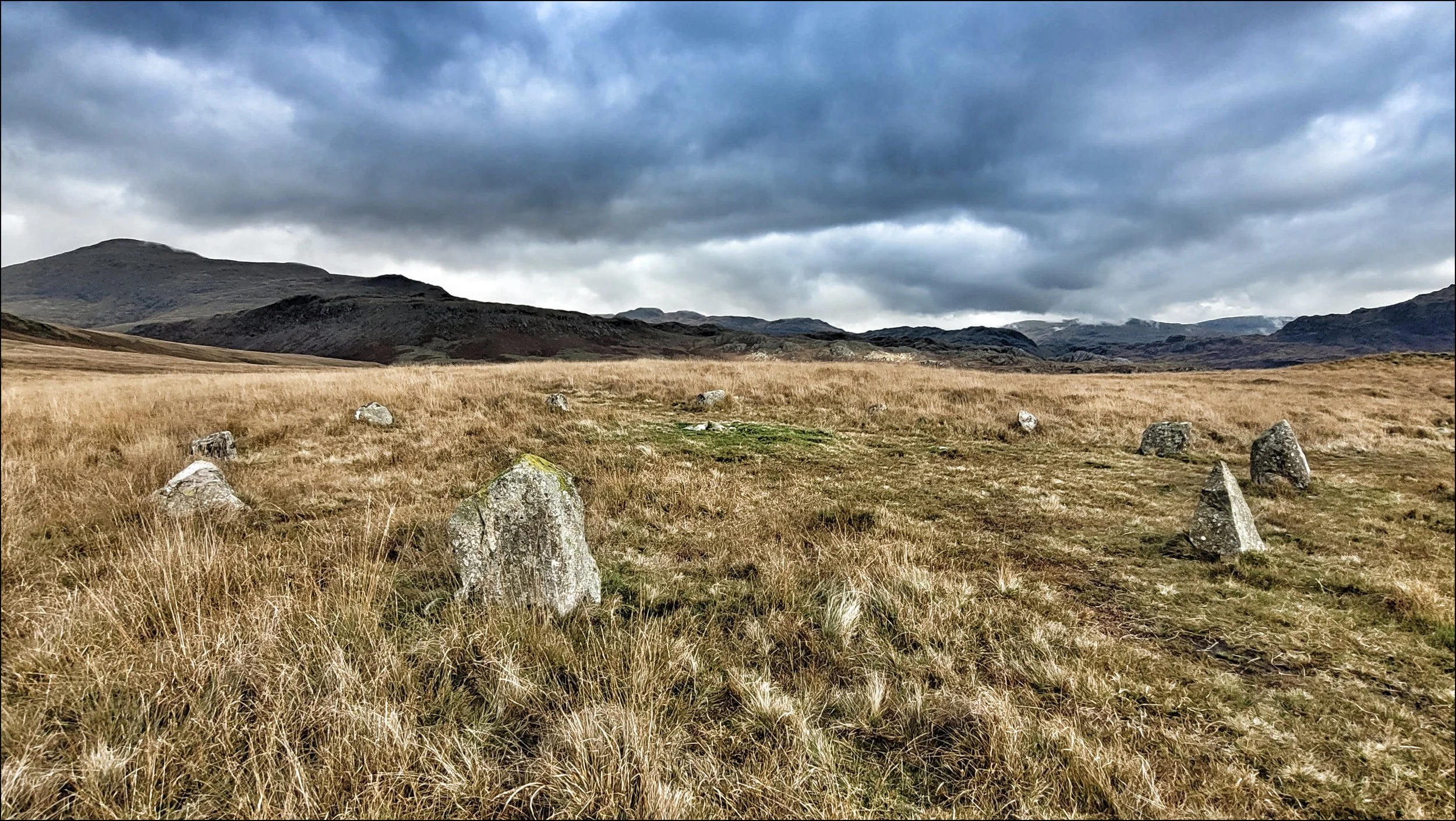
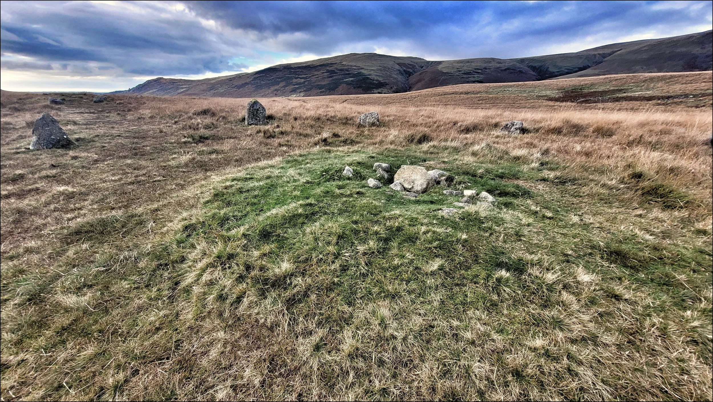
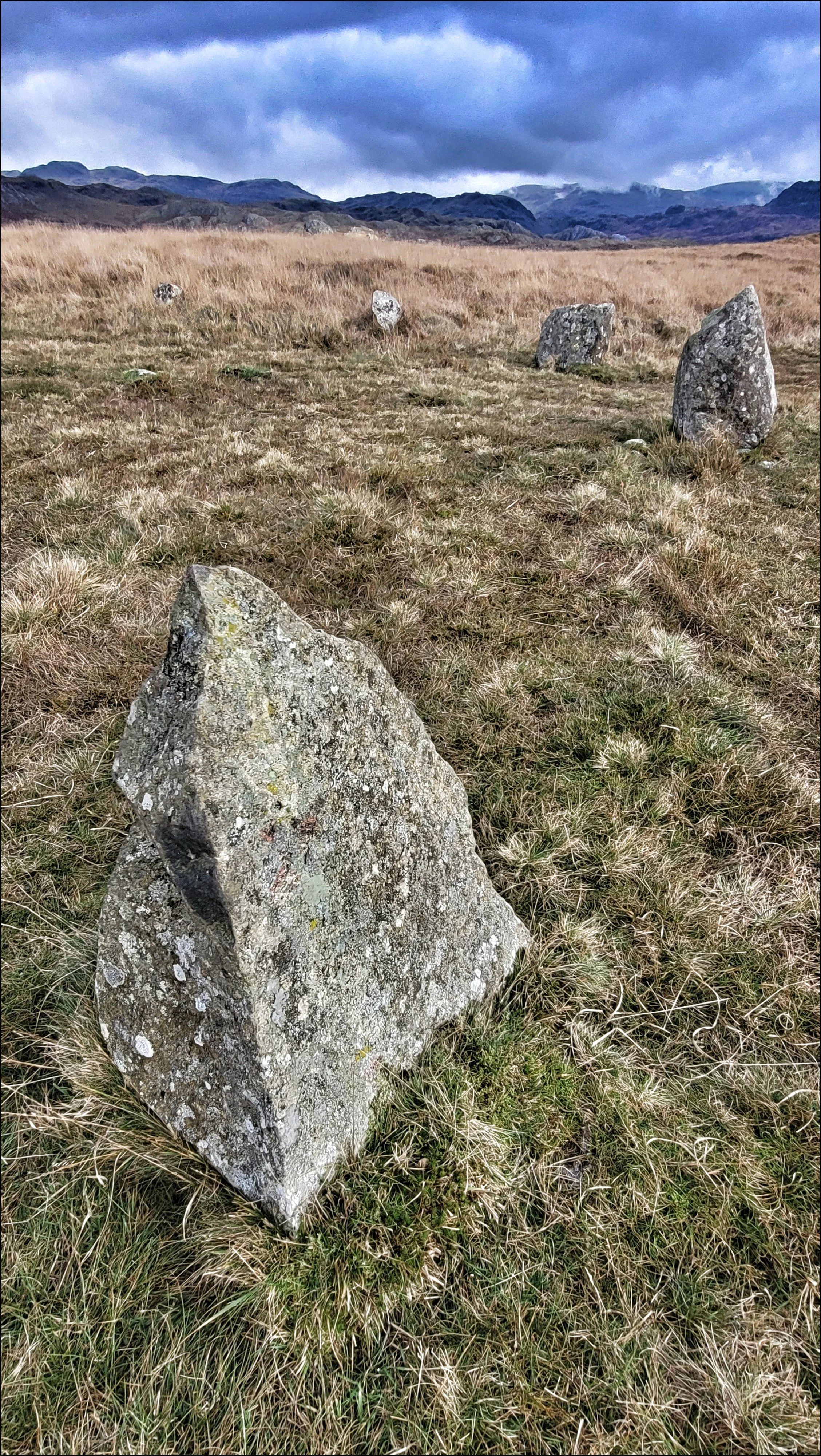
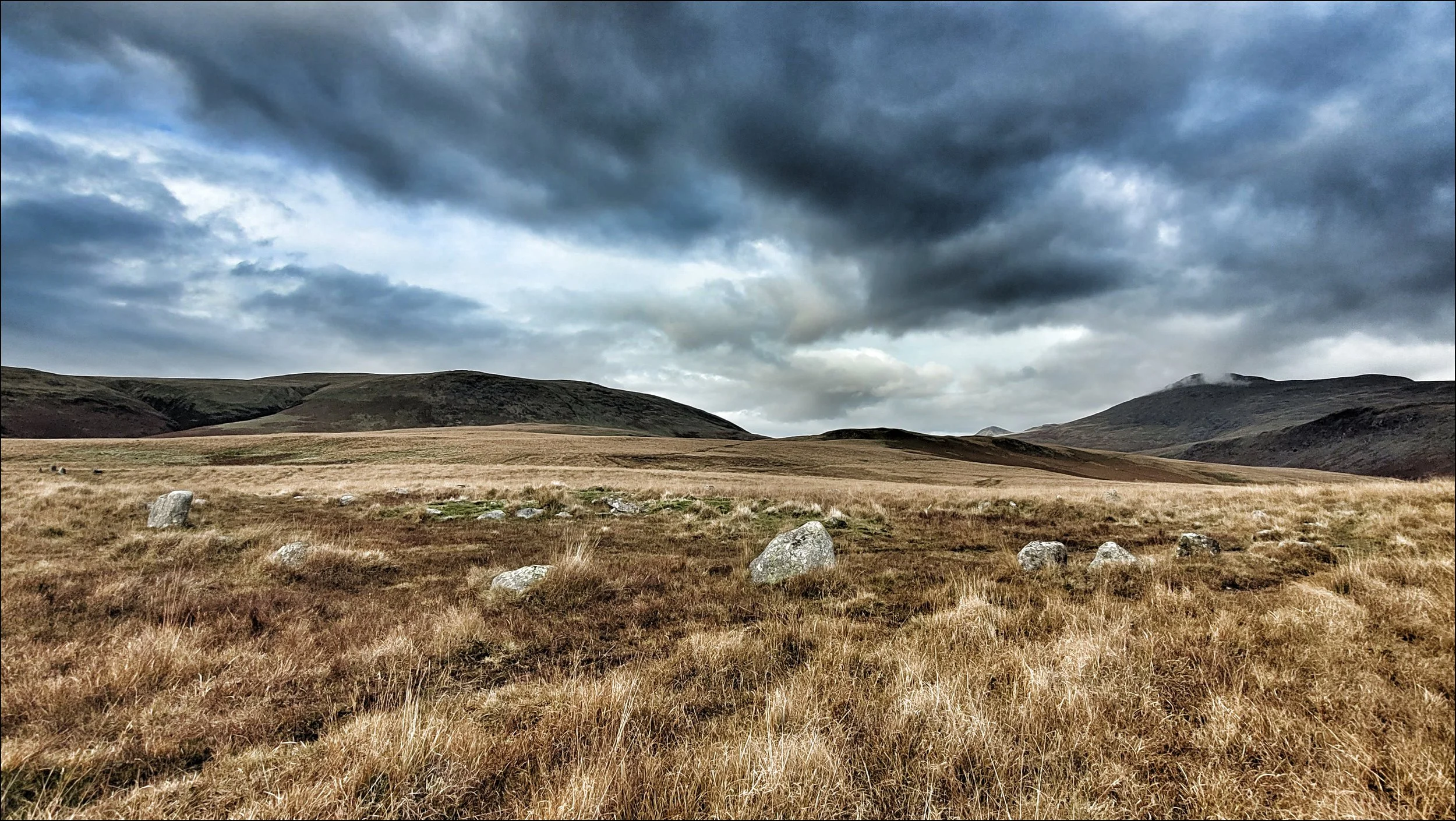
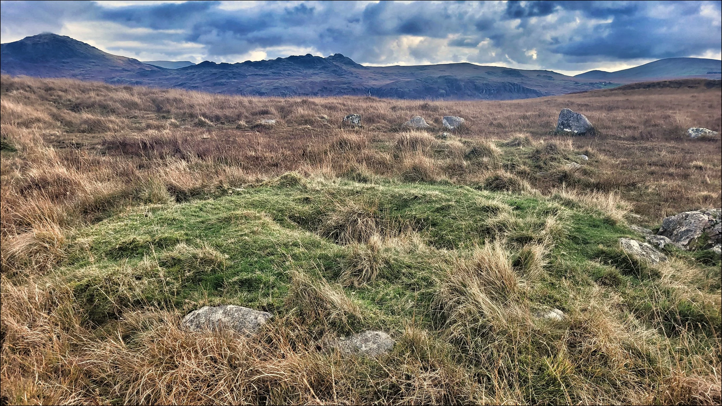
From here the path led a hundred metres or so south to White Moss SW with a more ruinous and confusing layout of fourteen stones. In the centre slightly offset was another small low lying cairn and what appeared to be the remains of another outside the circle. I looked back to White Moss NE with the primeval black hills beyond it. The sky was darkening and the wind was stirring stronger. This desolate moorland had clearly had a high level of past activity. The complex of circles and possible cairns suggested the presence of settlements. Water in the form of the River Mite was not far away and it seemed the right time to head down into Miterdale and follow it to Eskdale Green.