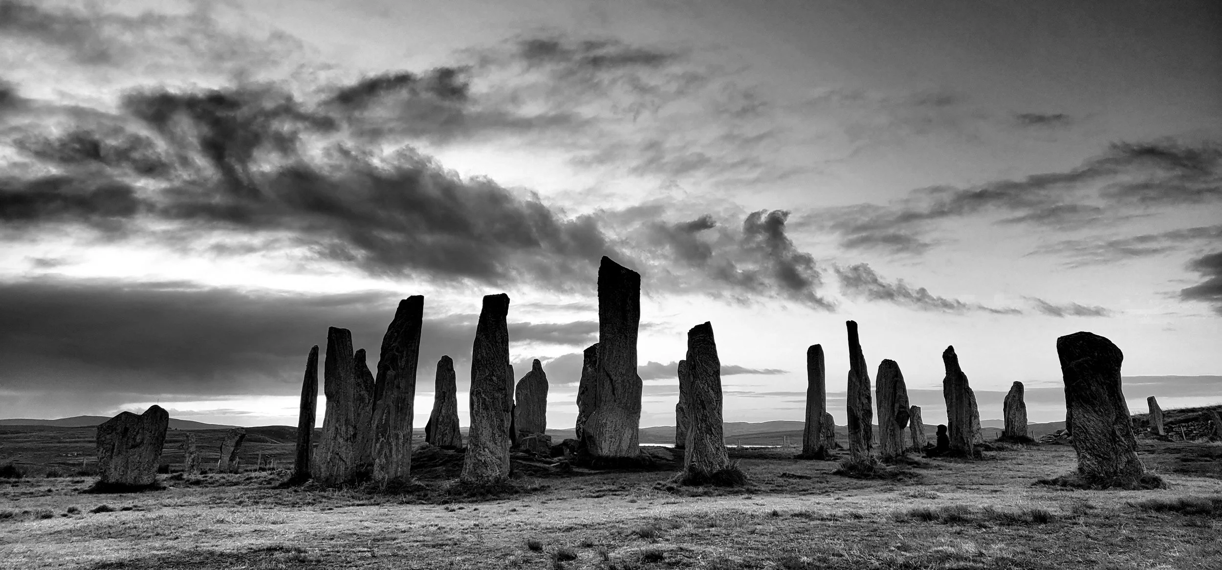
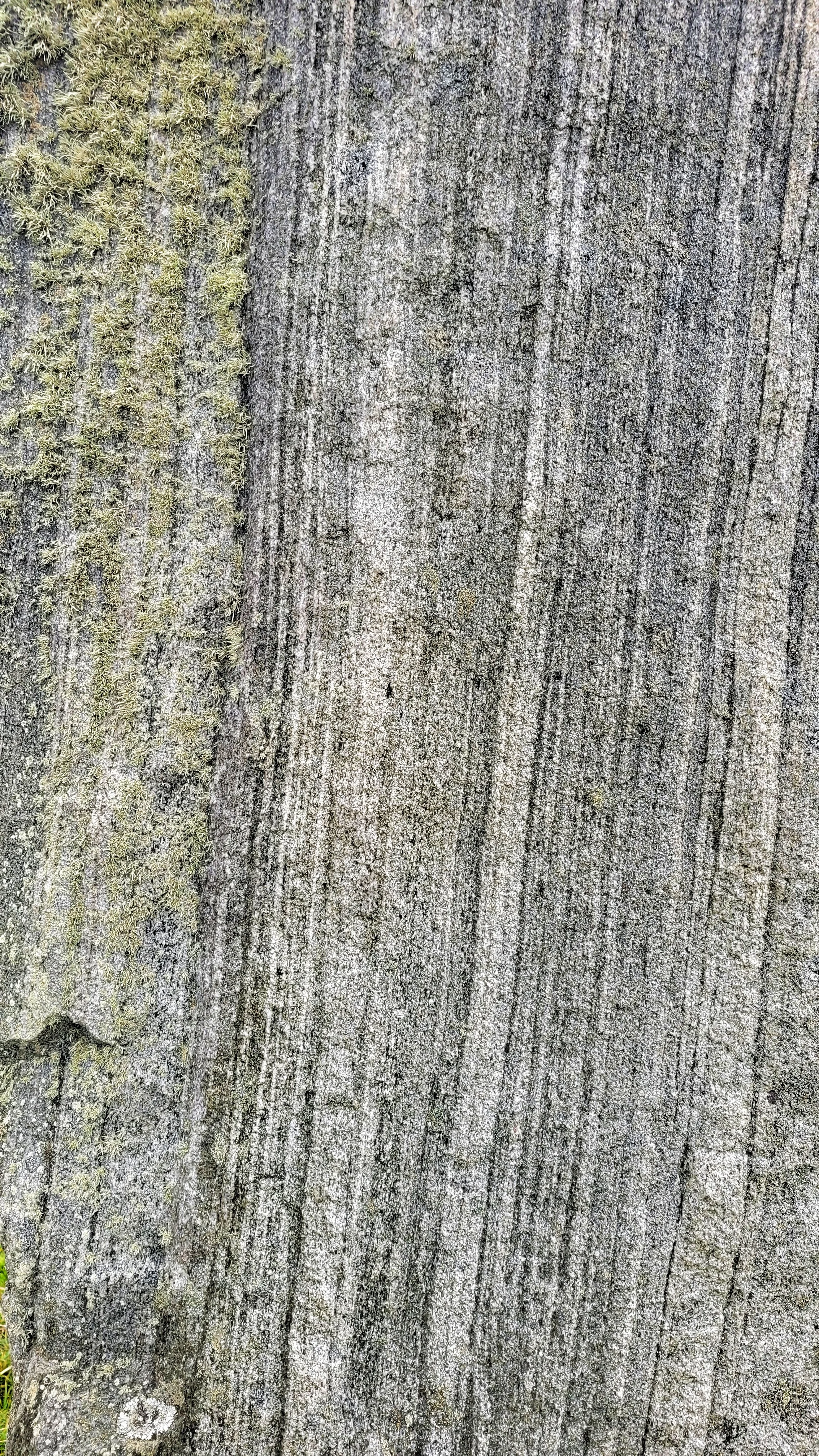
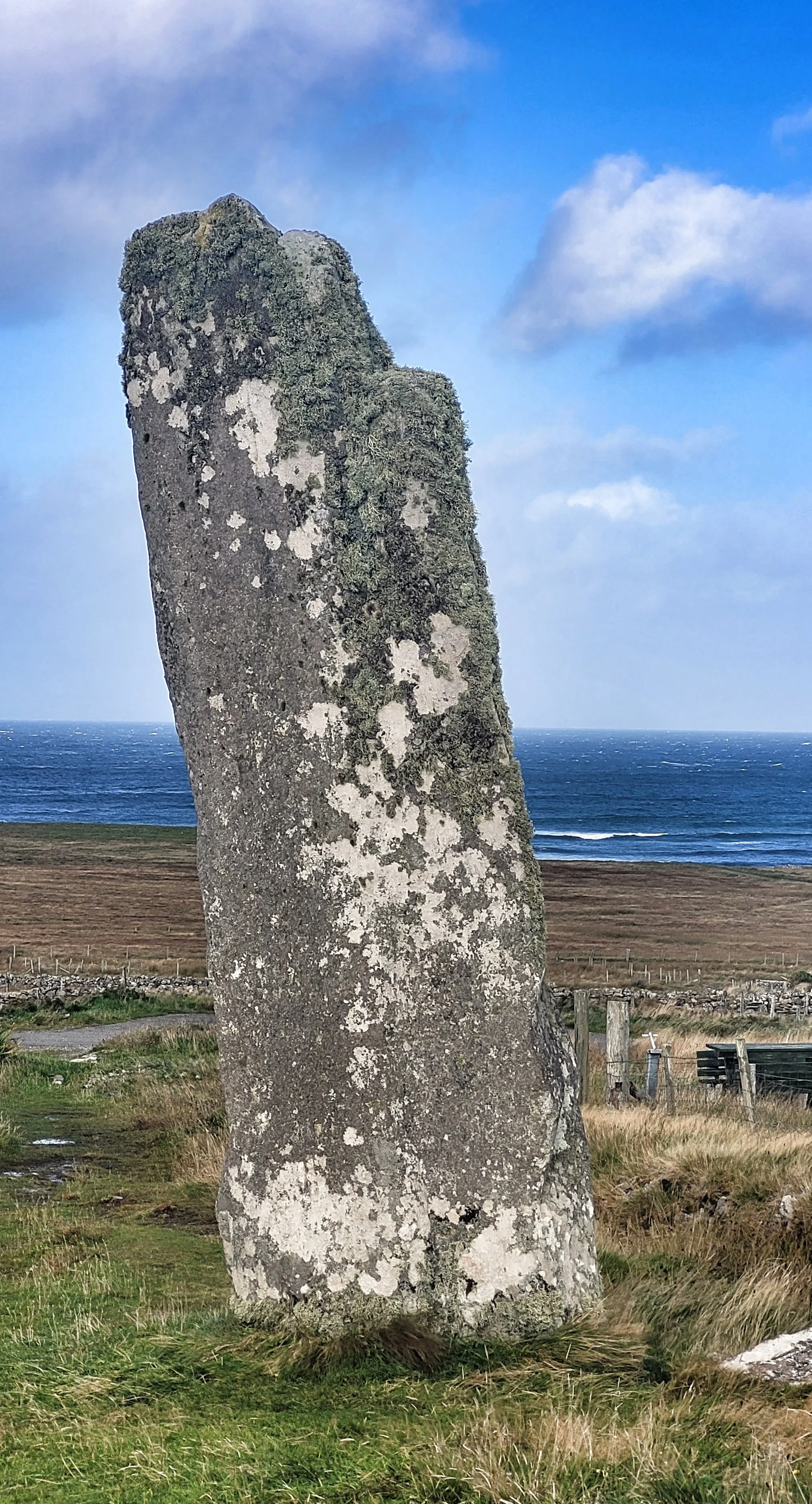
Callanish
Lewis
Stone Circle
Lewisian Gneiss
Laid out like a giant Celtic cross, some of these tall slender stones in this complex have the appearance of fossilized tree stumps with their tightly banded veins of gneiss. Despite the stones being half buried in peat until the mid-nineteenth century, there seems little overall difference in lichen growth from the stone's base to their tip.
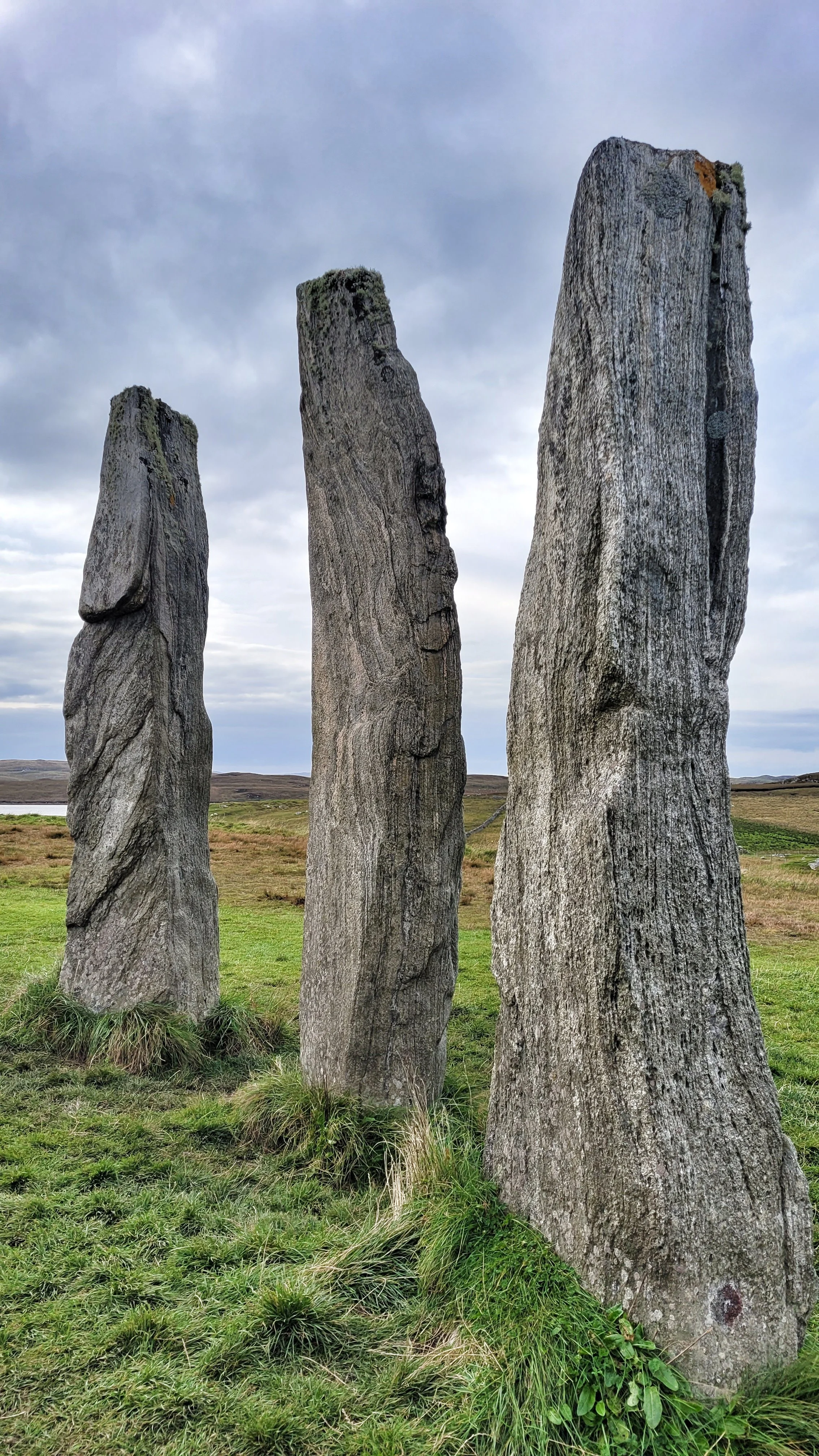
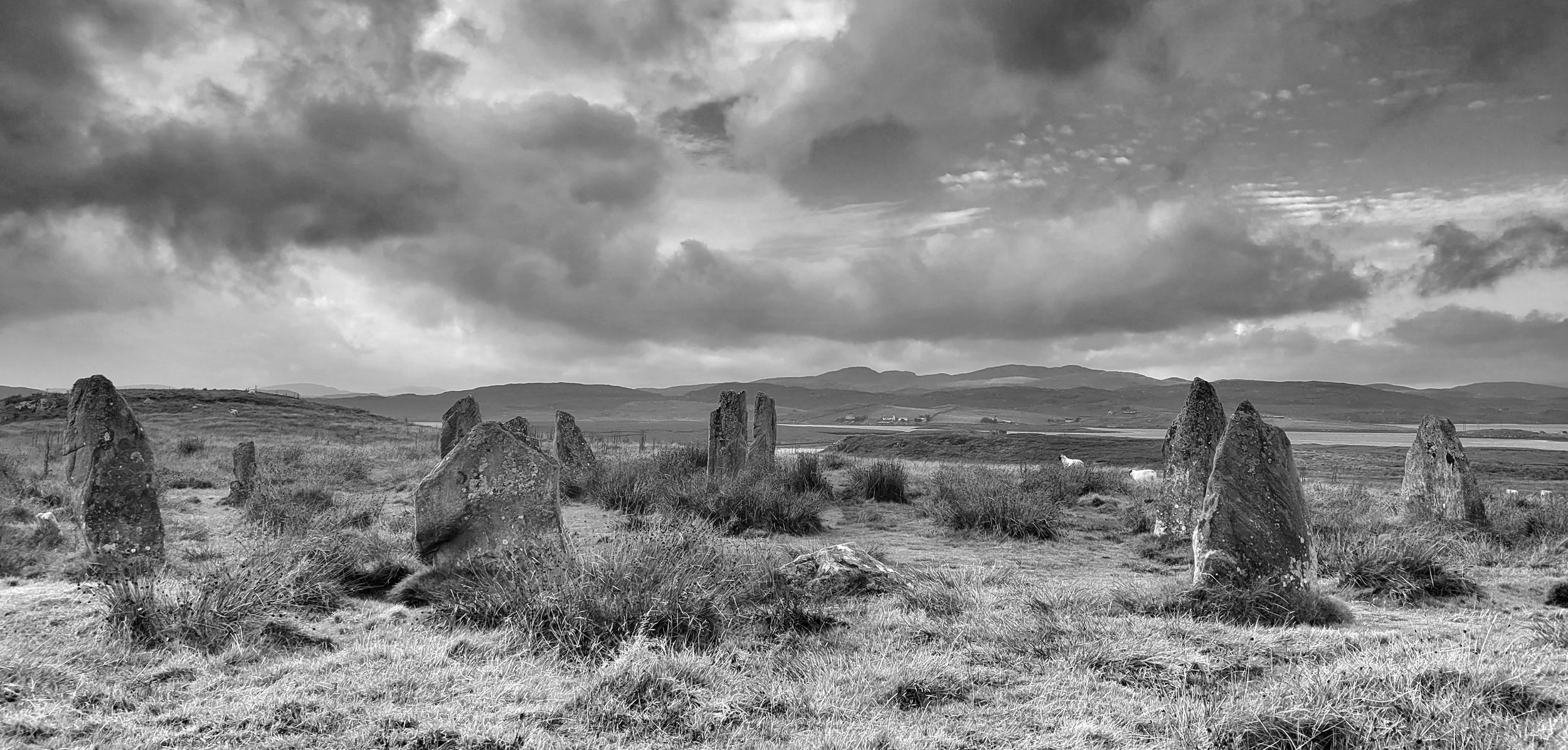
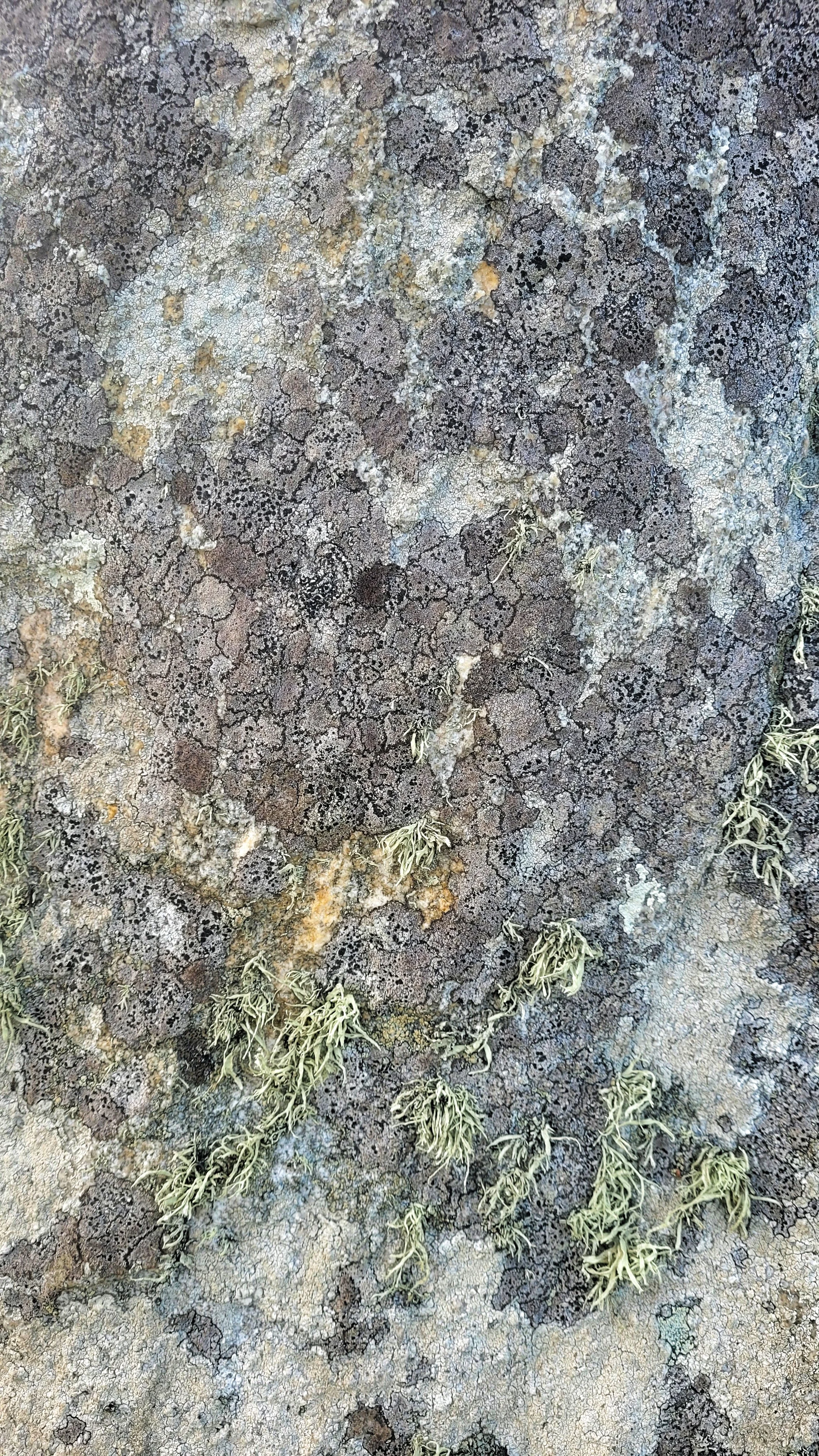
Callanish 3
Lewis
Stone Circle
Lewisian Gneiss
Callanish 3 is in sight of the main Callanish site on the other side of Loch Ceann Hulabhaig, but its surroundings are much greener with longer tufts of grass for the local sheep to graze on. An increase in ground moisture has resulted in a greater proliferation of lichen coverage and here also is evidence of extensive weathering.
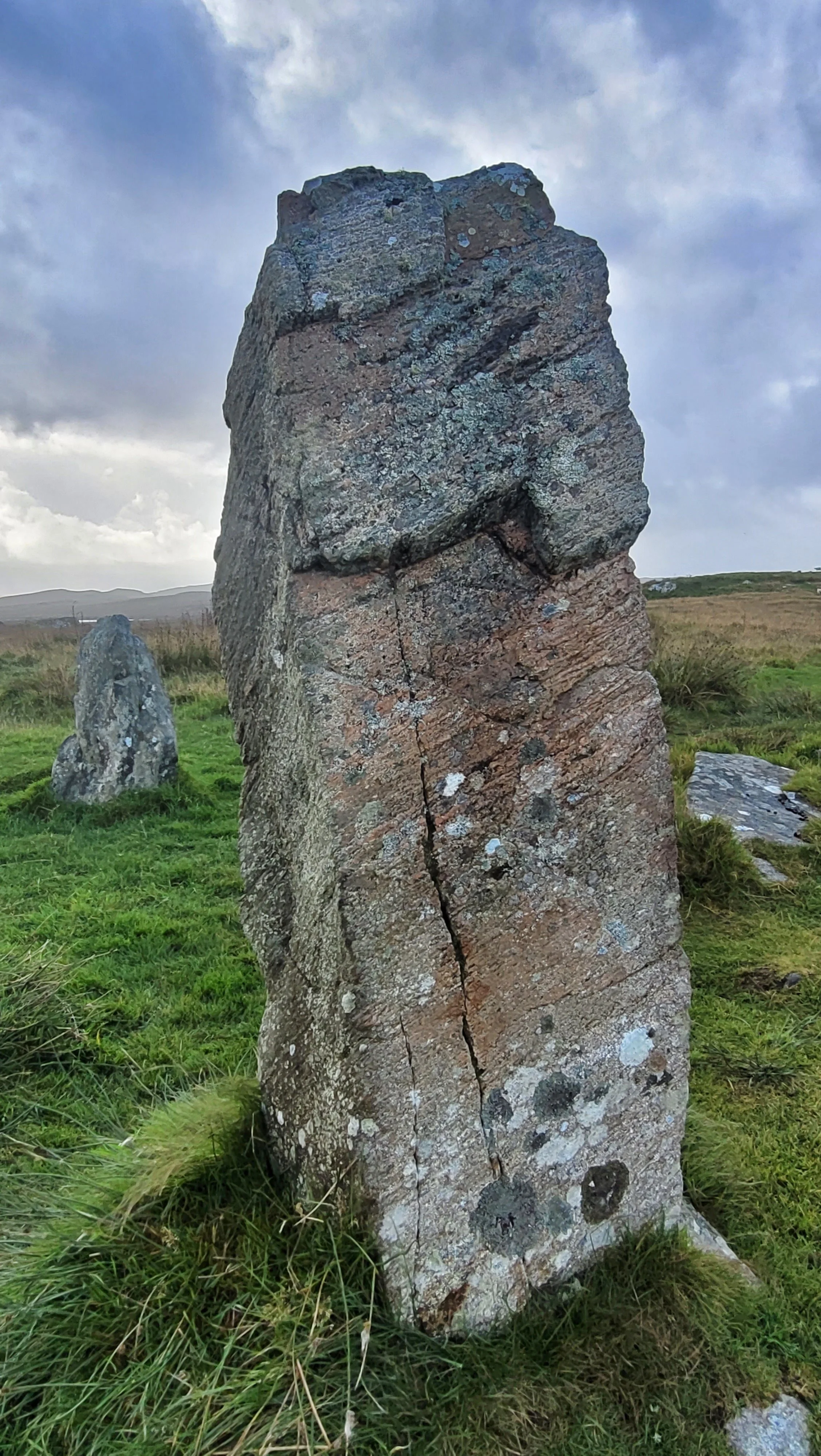
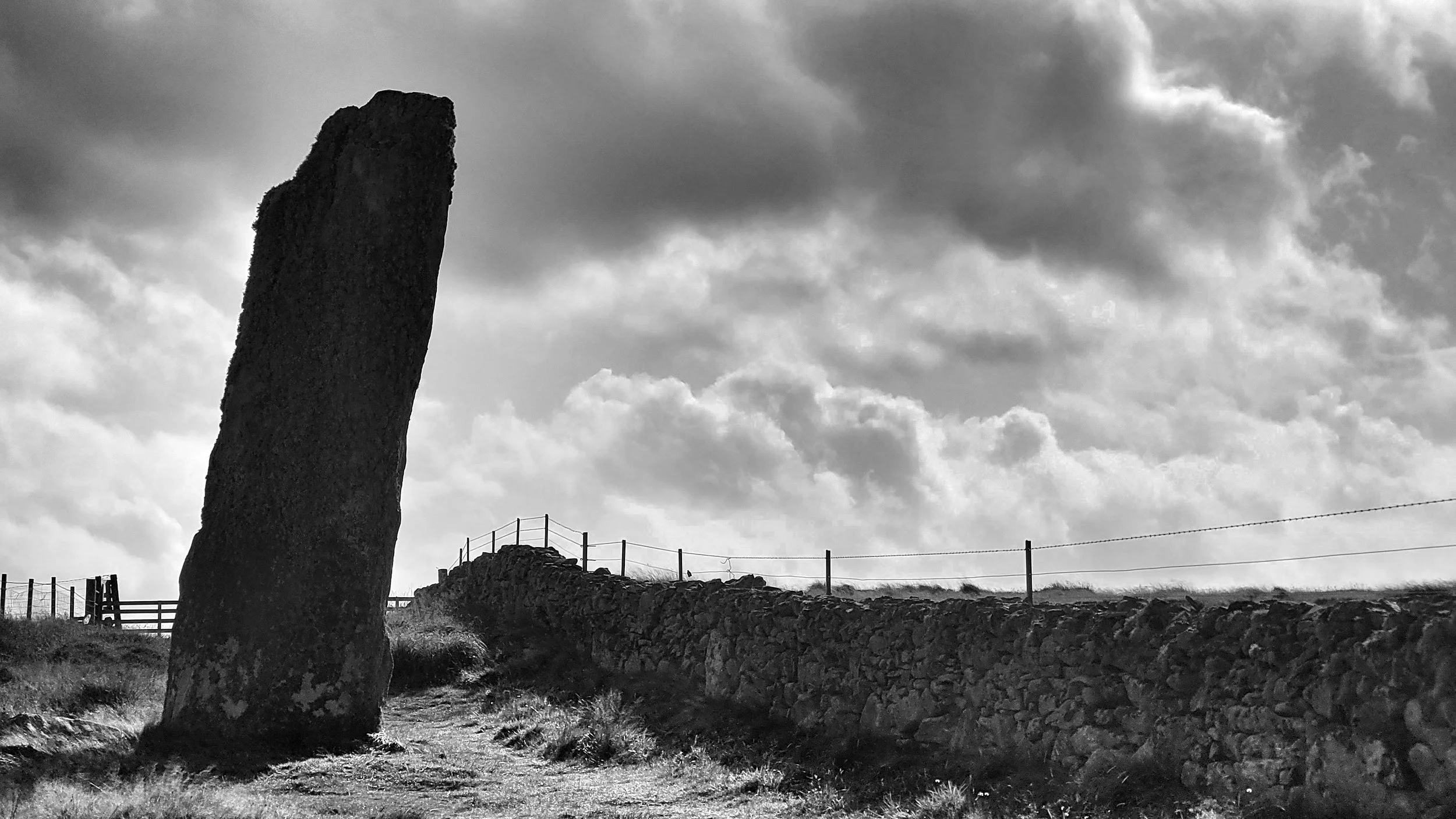
Clach An Truishal
Lewis
Standing Stone
Lewisian Gneiss
This giant megalith is thought to be Scotland's tallest at six metres and occupies a narrow strip of land between a stone wall and a stock fence. Archaeologists have deduced it may have once been part of a larger complex which has been destroyed over time. The nearby wall contains stones that may have originally stood alongside it.
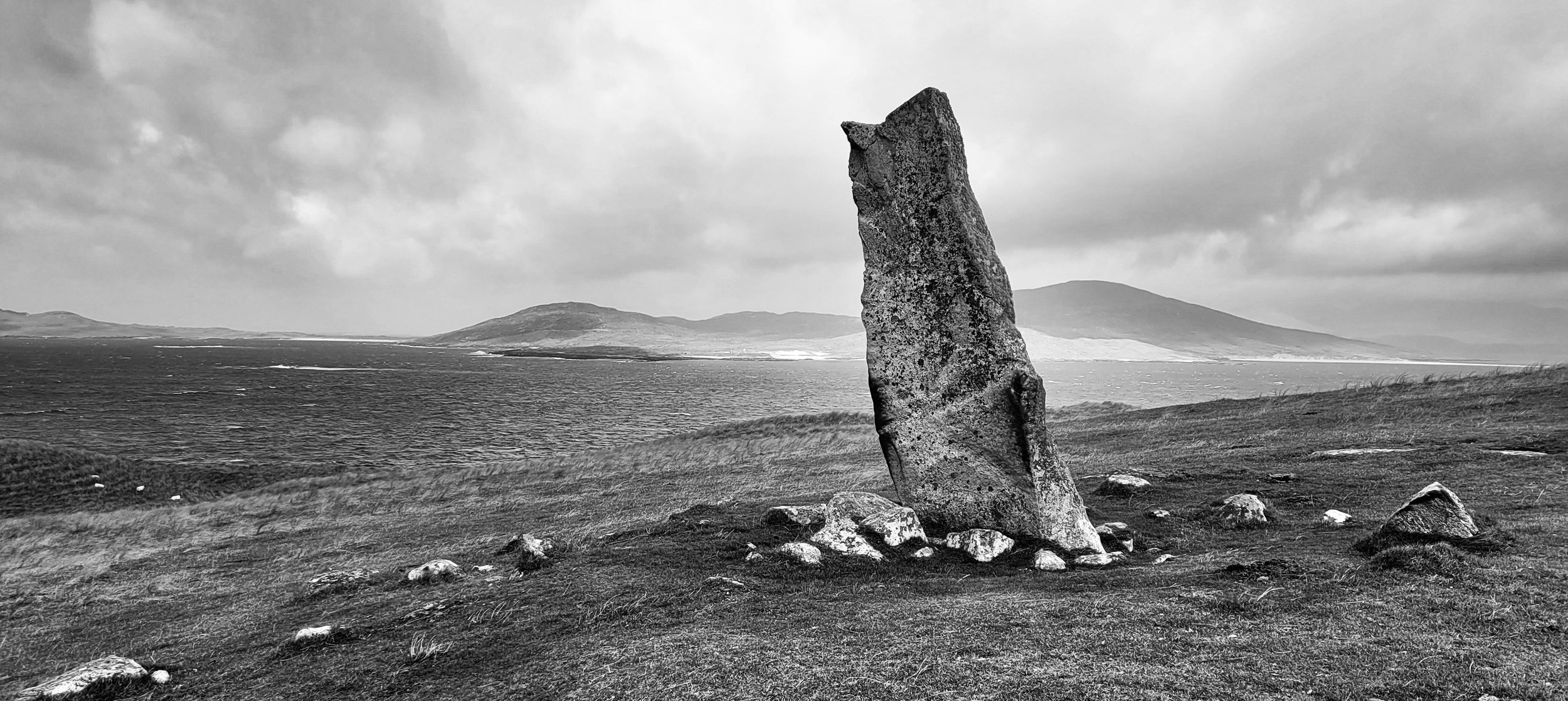
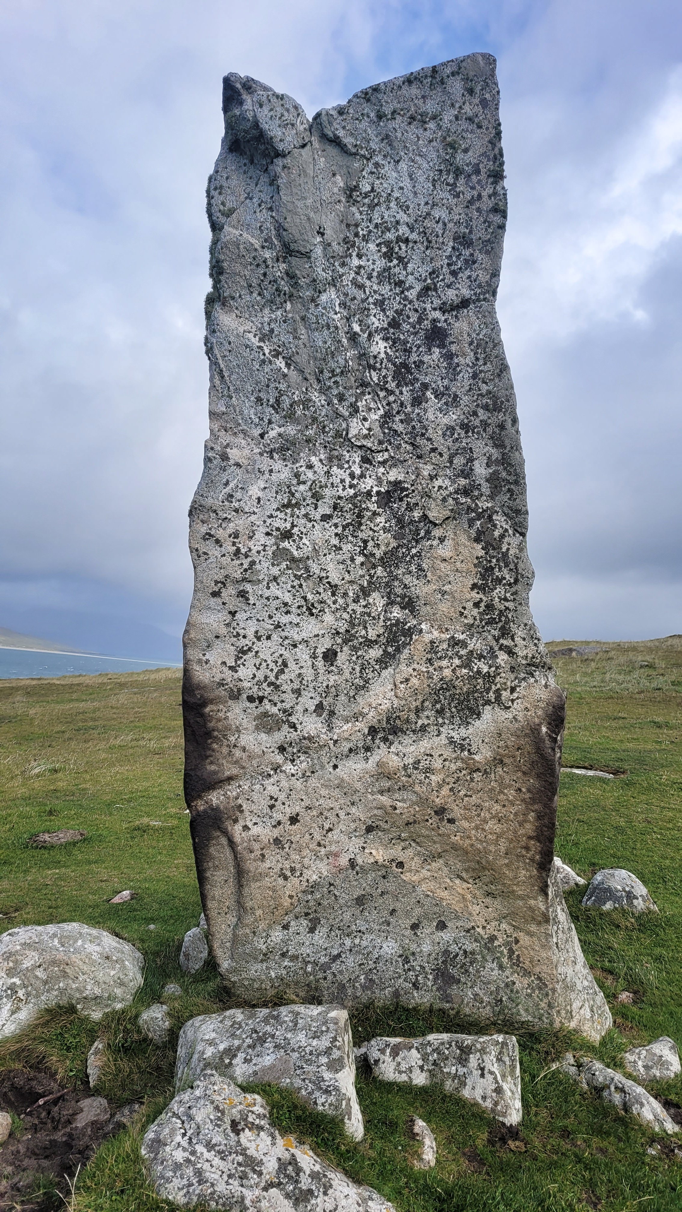
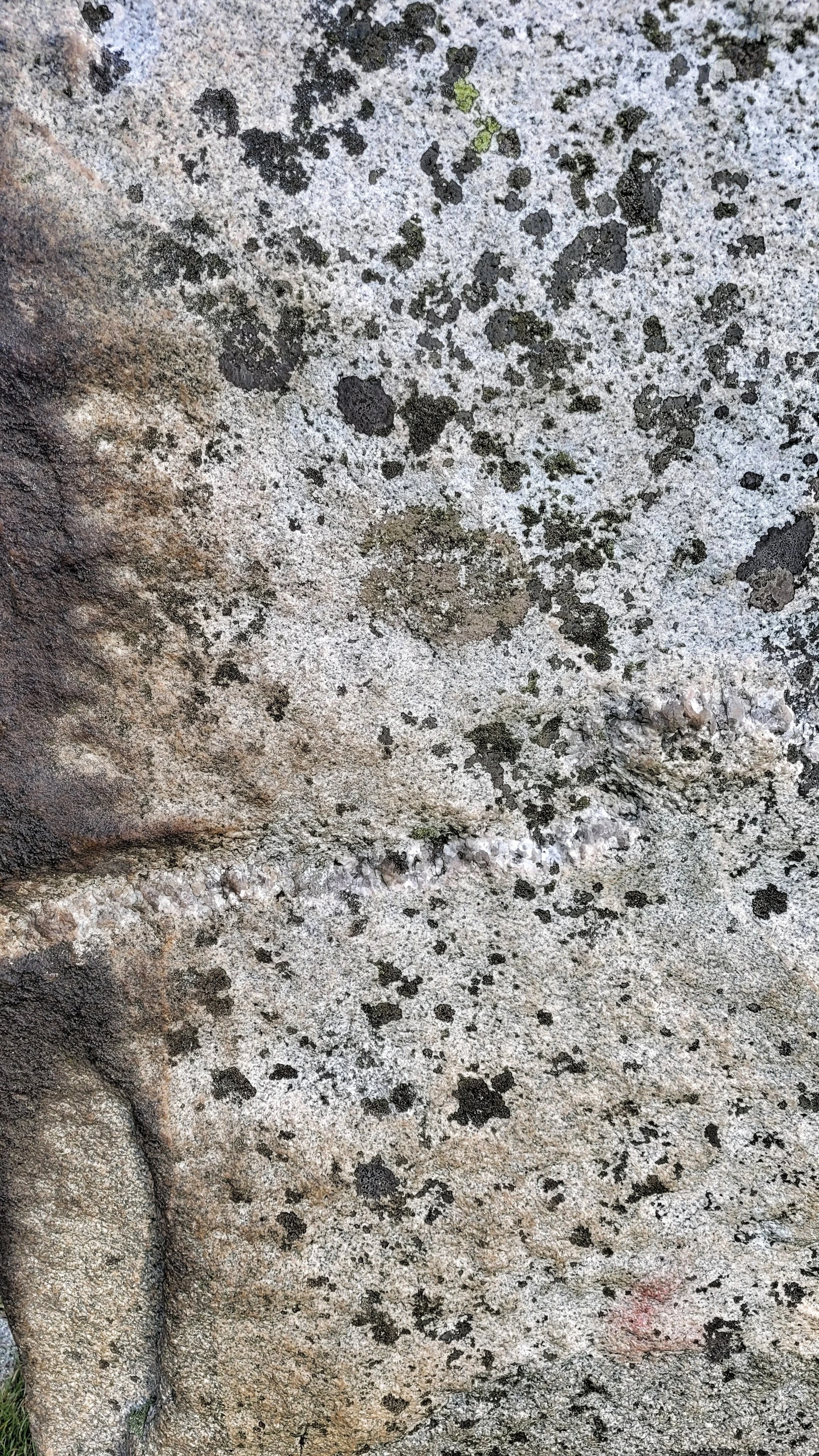
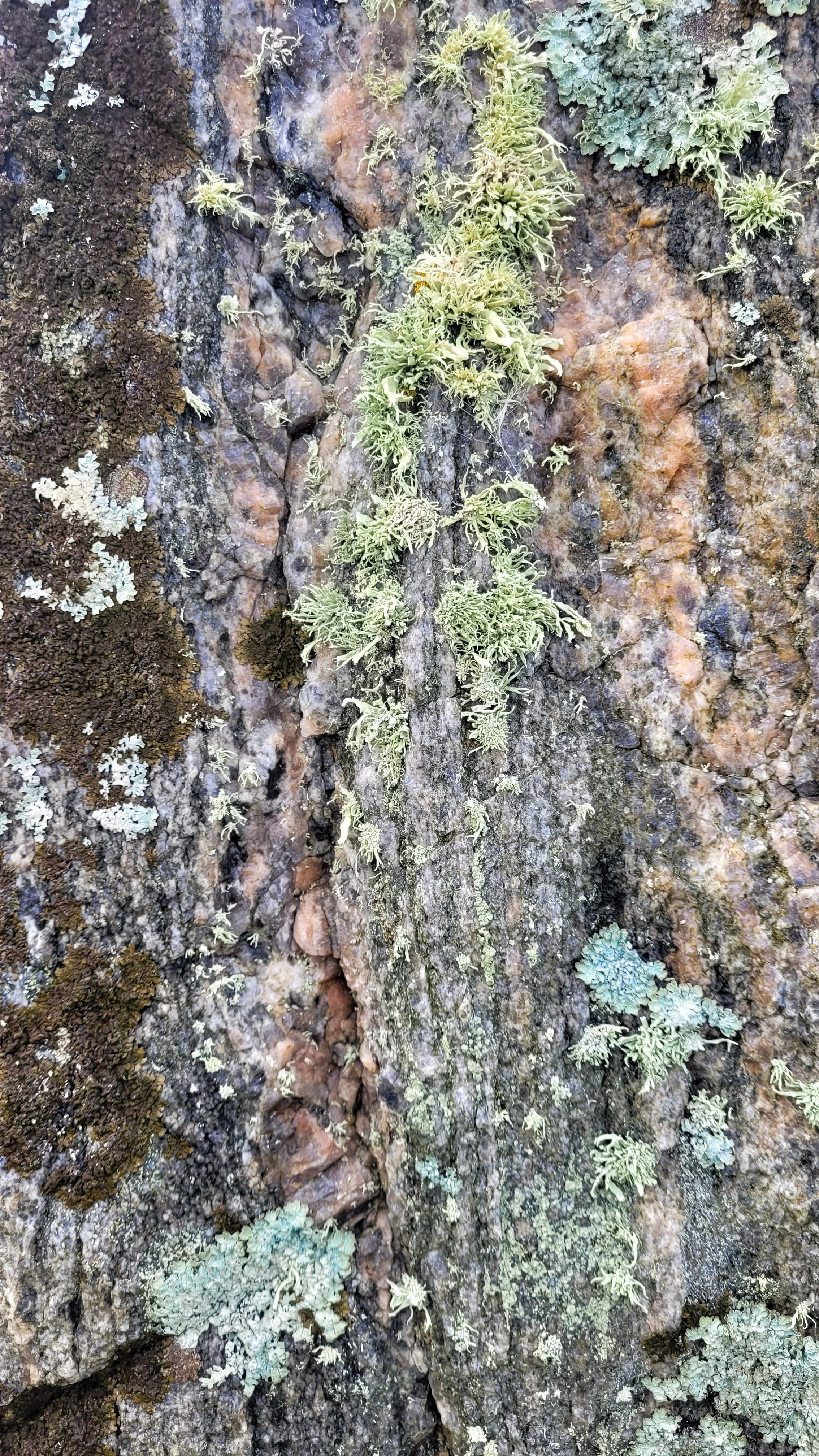
Clach Mhic Leoid
Harris
Standing Stone
Lewisian Gneiss
On a windy promontory overlooking the Sound of Taransay near Luskentyre Beach, this enigmatic standing stone over three metres in height, looks scarred and weather-beaten. Feldspar and Quartz seams crisscross through it, while a high salt content in the air has caused black organic edging to appear like scorch marks at it's base.